Peoples
- MISKITU
- MAYANGNA
Citation
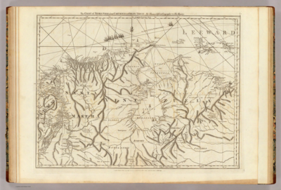
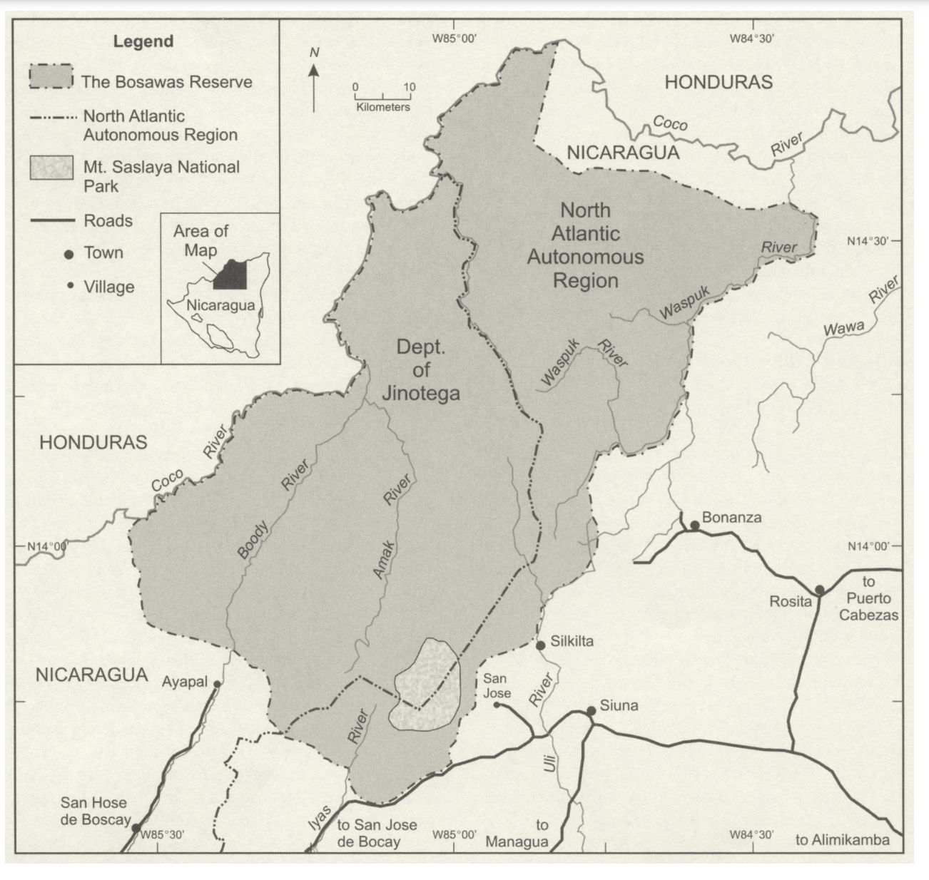
Figure 1. The Bosawas Reserve;North-Central Nicaragua. Page 346. Stocks;Anthony. “Mapping Dreams in Nicaragua’s Bosawas Reserve.” Human Organization 62;no. 4 (2003): 344–56. http://www.jstor.org/stable/44127815.AccessedJuly242023