Citation
San Juan Baptista, San Luys Tezontla y Santa María Nochtongo. Oaxaca, 1579. AGN, Tierras, vol. 2762, exp. 10, f. 112 http://bdmx.mx/documento/galeria/mapas-indigenas-novohispanos-agn/co_imagen37/fo_06
![Paisaje [Landscape]](https://dnet8ble6lm7w.cloudfront.net/art_sm/APER022.png)
Paisaje [Landscape]
Artwork
La región andina septentrional ecuatoriana
Map -500 - 1550
Carte d'une partie de la Guyanne extraite des observations faites en 1762, 1763 et 1764.
Map 1762 - 1764
Paraguay, Chili, Terre Magellan.
Map 1700 - 1800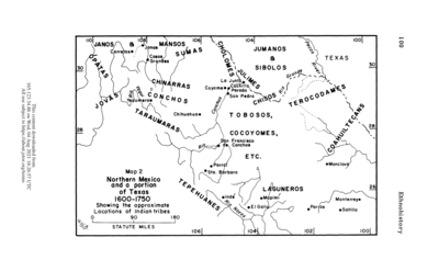
Northern Mexico and a Portion of Texas 1600-1750 Showing the approximate Locations of Indian tribes
Map 1600 - 1750
AMERICA KARATE VON LAUFE DES ORENOCO DES ATABAPO DES CASIQUIARE UND DES RIO NEGRO
Map 1850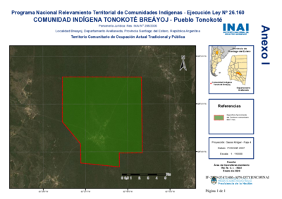
Comunidad Indígena Tonokoté Breáyoj - Pueblo Tonokoté
Map 2020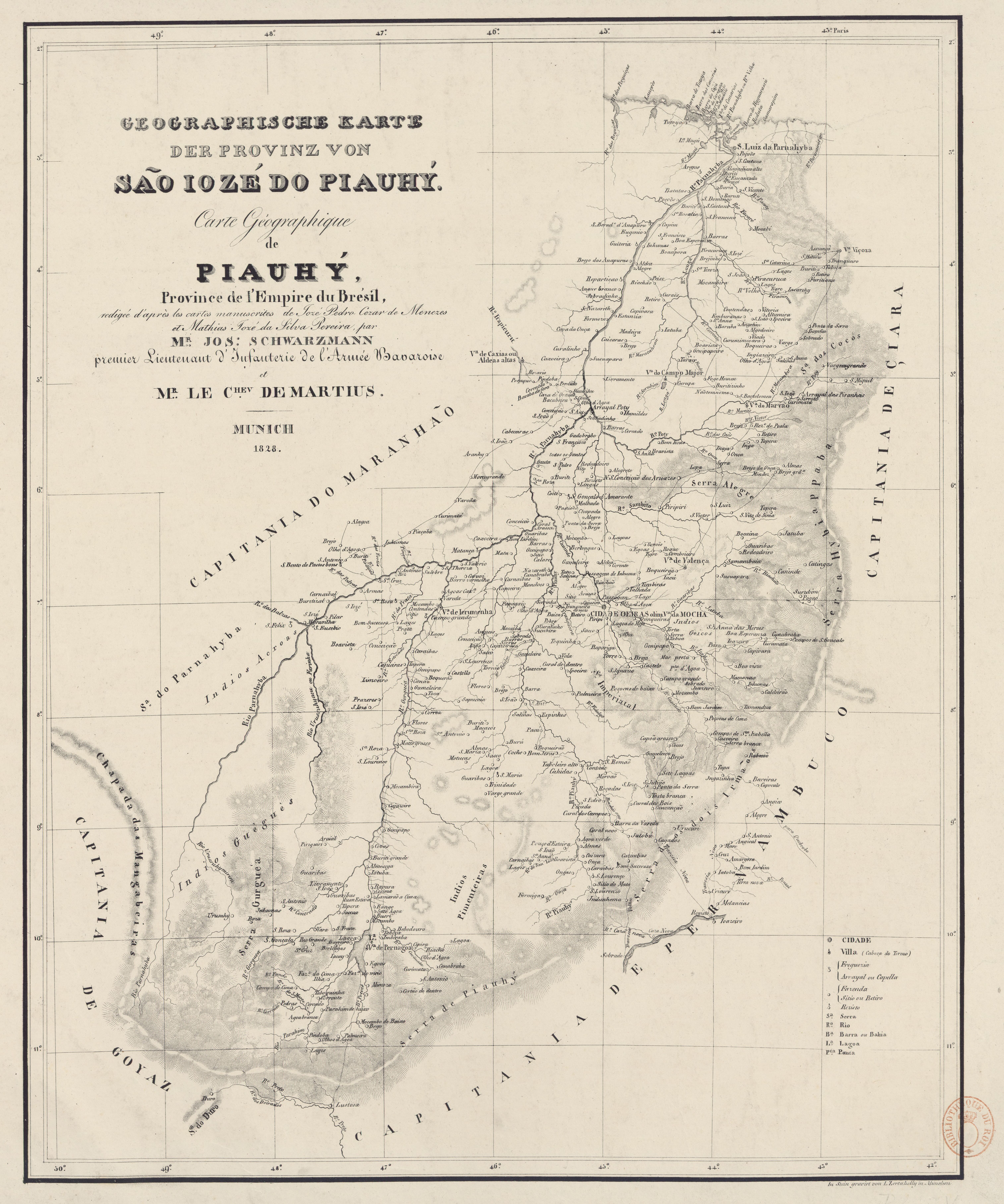
GEOGRAPHISCHE KARTE DER PROVINZ VON SÃO JOZÉ DO PIAUHY. Carte Géographique de PIAUHY, Province de l'Empire du Brésil
Map 1828