Peoples
- APACHES
- CUCAPAS
- PAPAGOS
Citation
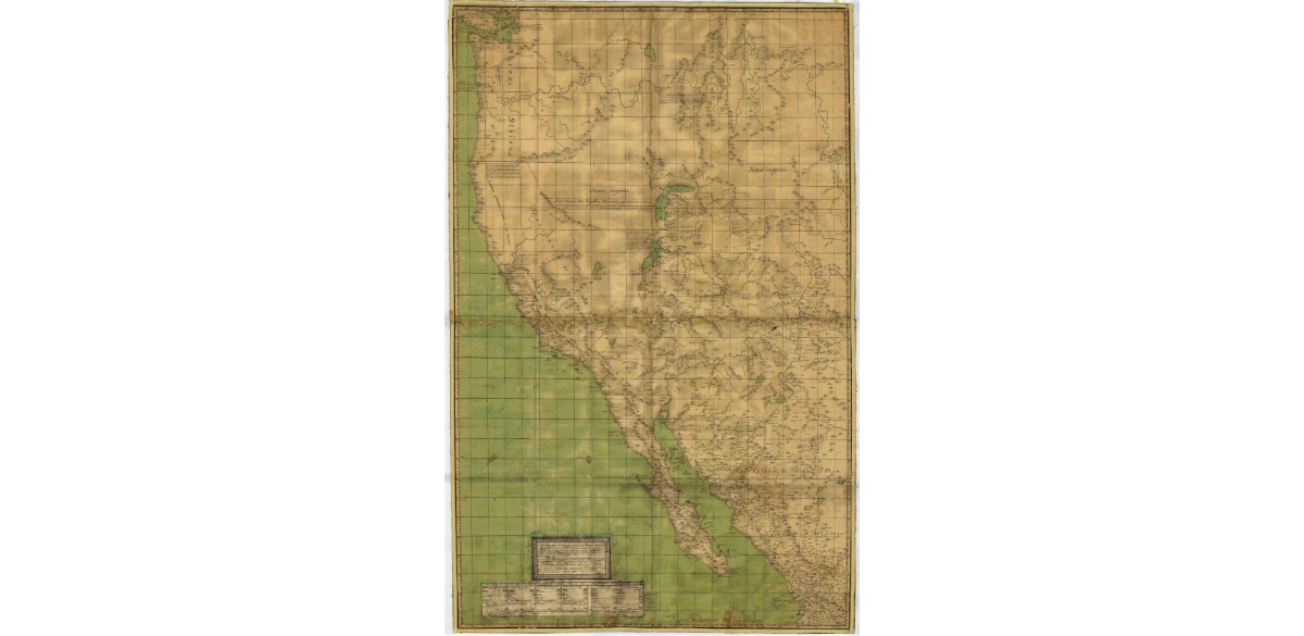
Narváez, José María. "Carta geográfica de una gran parte de la América Septentrional." Map. 1832. http://bdmx.mx/documento/galeria/jose-maria-narvaez-carta-geografica-america-septentrional-1832.
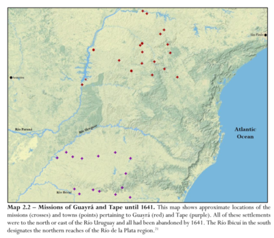
Missions of Guayrá and Tape until 1641
Map 1641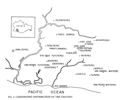
Geographic Distribution of the Chatino
Map 1969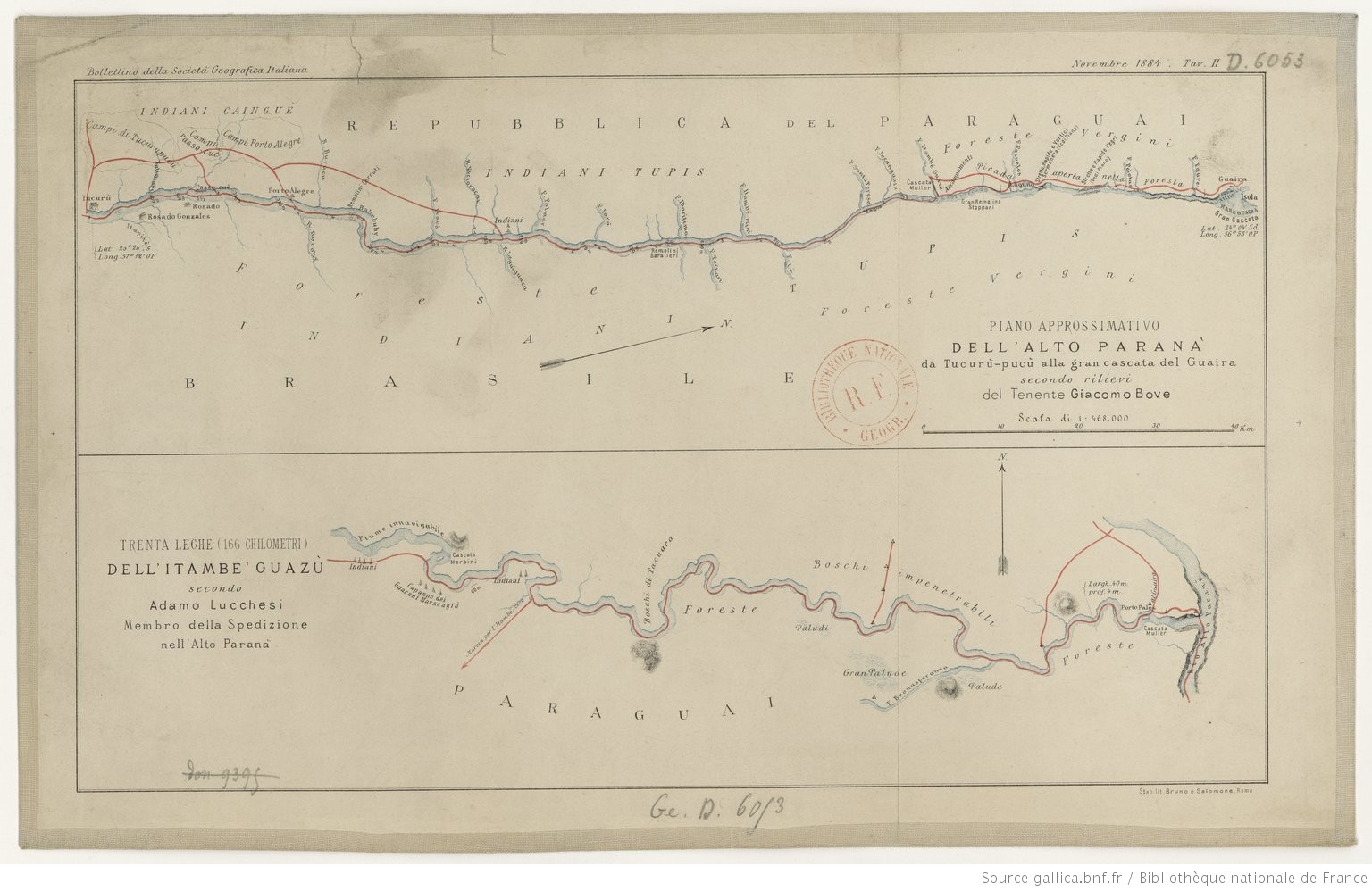
TRENTA LEGHE (166 CHILOMETRI) DELL’ ITAMBE’ GUAZÙ
Map 1884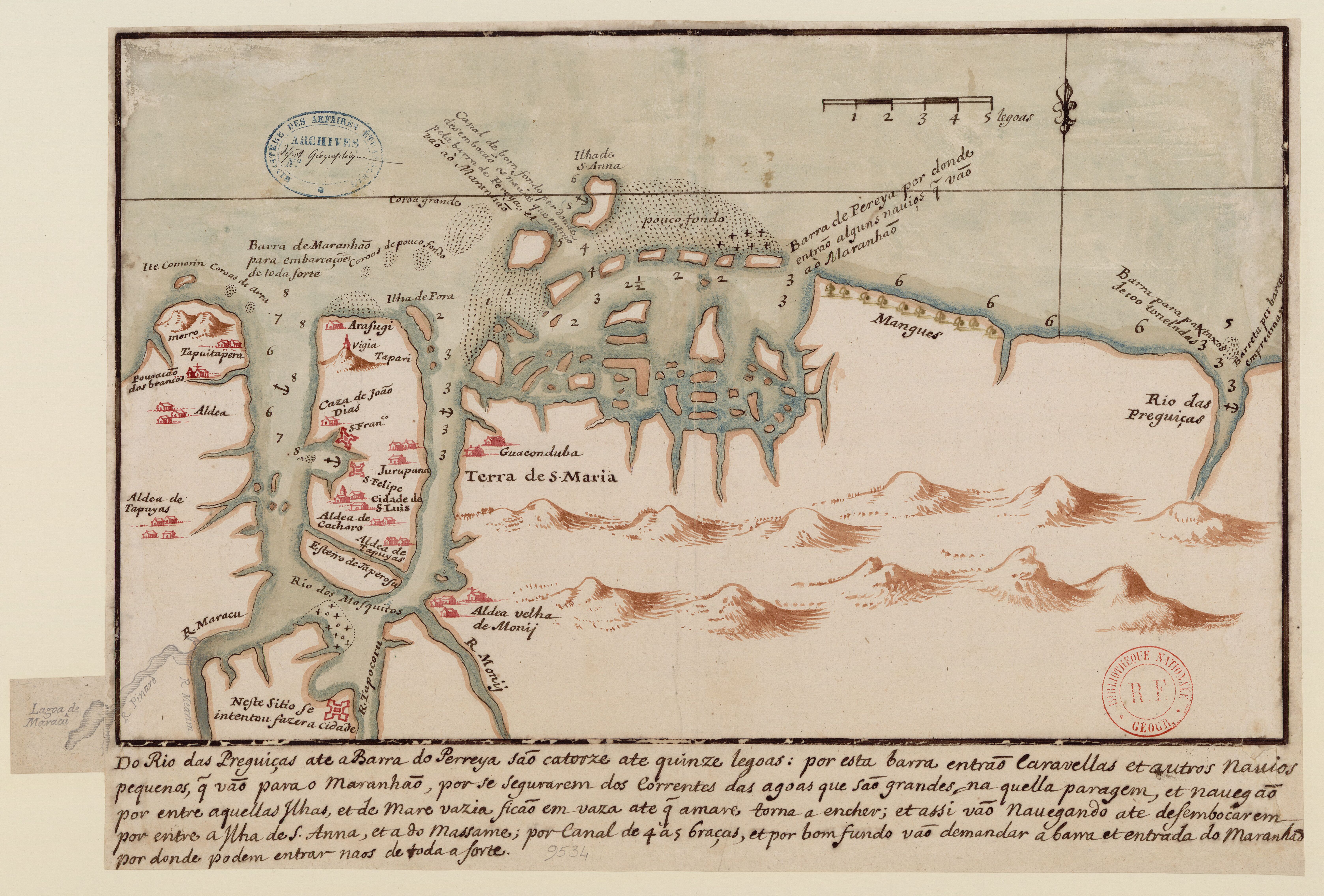
Do Rio das Preguiças ate a barra do Perreya sao catorze ate quinze legoas
Map 1600 - 1640
Government map of Nicaragua : from the latest surveys ordered by President Patricio Rivas and Genl. William Walker ;executed under the supervision of the Señor Fermín Ferrer;Governor of the Western Department;1856
Map 1800 - 1856![Mami y Yo y Mi Gallito [Mommy, Me, and My Little Rooster]](https://dnet8ble6lm7w.cloudfront.net/art_sm/AECU025.png)
Mami y Yo y Mi Gallito [Mommy, Me, and My Little Rooster]
Artwork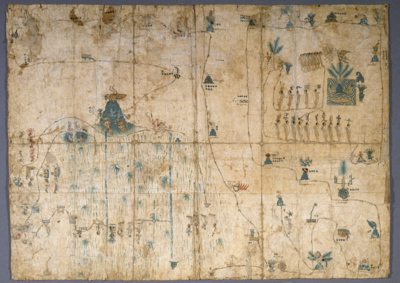
MAPA DE SIGUENZA/MAP OF SIGUENZA
Map 1500 - 1599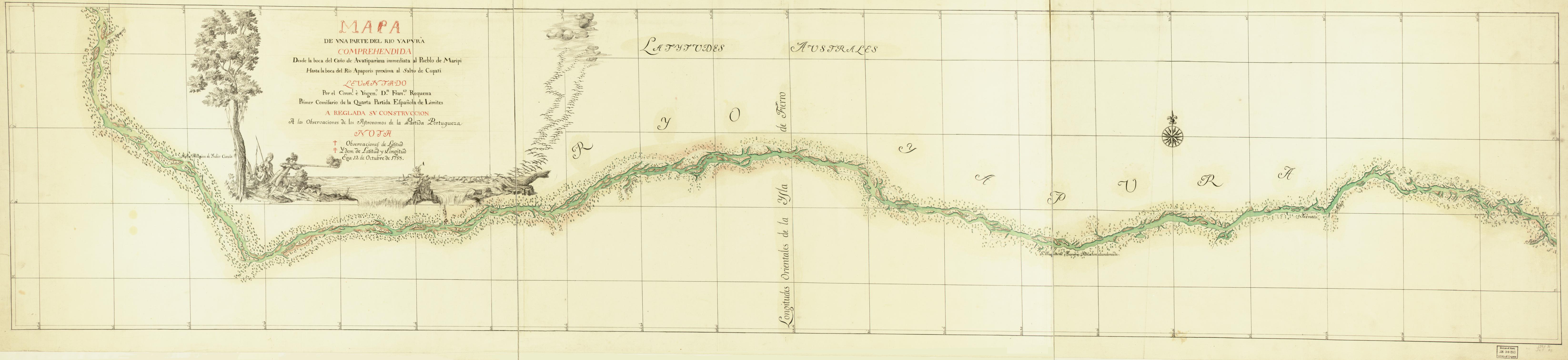
Mapa de una parte del Rio Yapurá : comprehendida desde la boca del Caño de Avatiparána immediata al pueblo de Maripi hasta la boca del Rio Apaporis proxima al Salto de Cupati
Map 1788