Citation
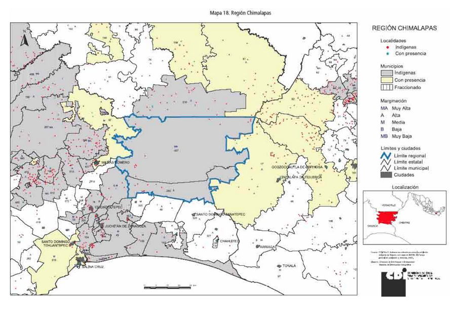
Comisión Nacional para el Desarrollo de los Pueblos Indígenas. Regiones indígenas de México. Publication no. 330.972. 2006. https://www.gob.mx/cms/uploads/attachment/file/35735/cdi-regiones-indigenas-mexico.pdf.
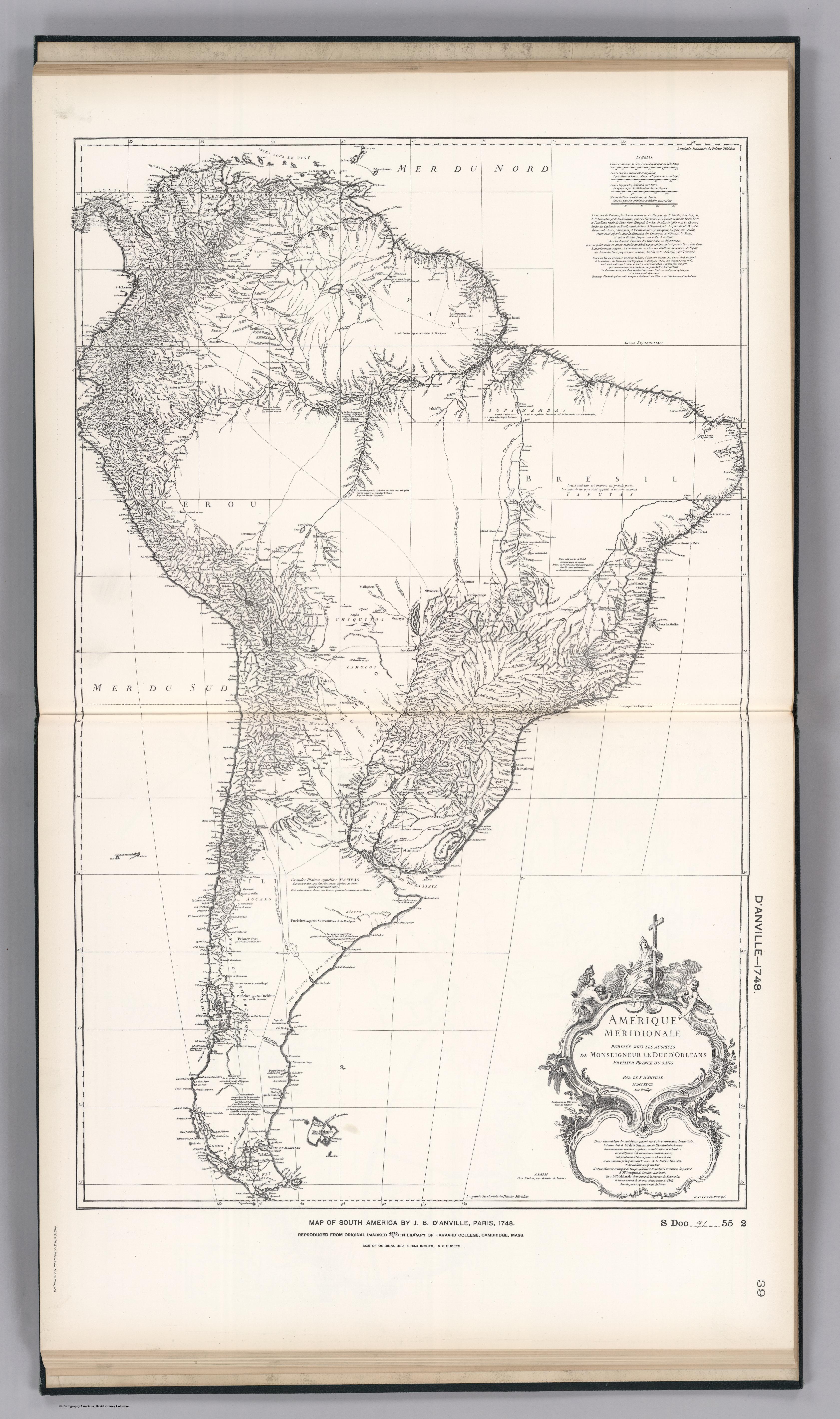
FACSIMILE: SOUTH AMERICA BY D'ANVILL
Map 1748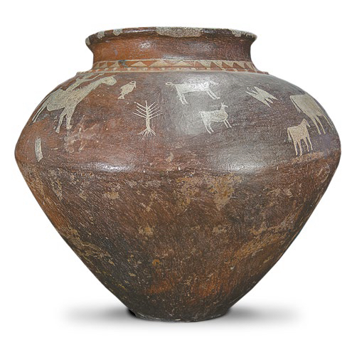
AM, Brazil - Pot, no date
Artwork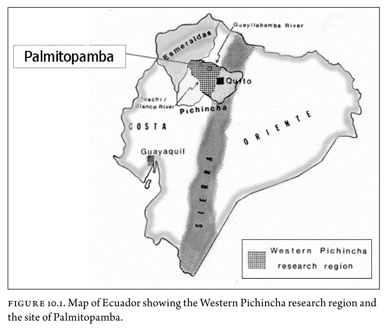
Figure 10.1. Map of Ecuador showing the Western Pichincha research region and the site of Palmitopamba.
Map -700 - 1534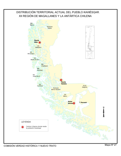
Distribución Territorial Actual del Pueblo Kawesqar. XII Region de Magallanes y la Antártica Chile
Map 1993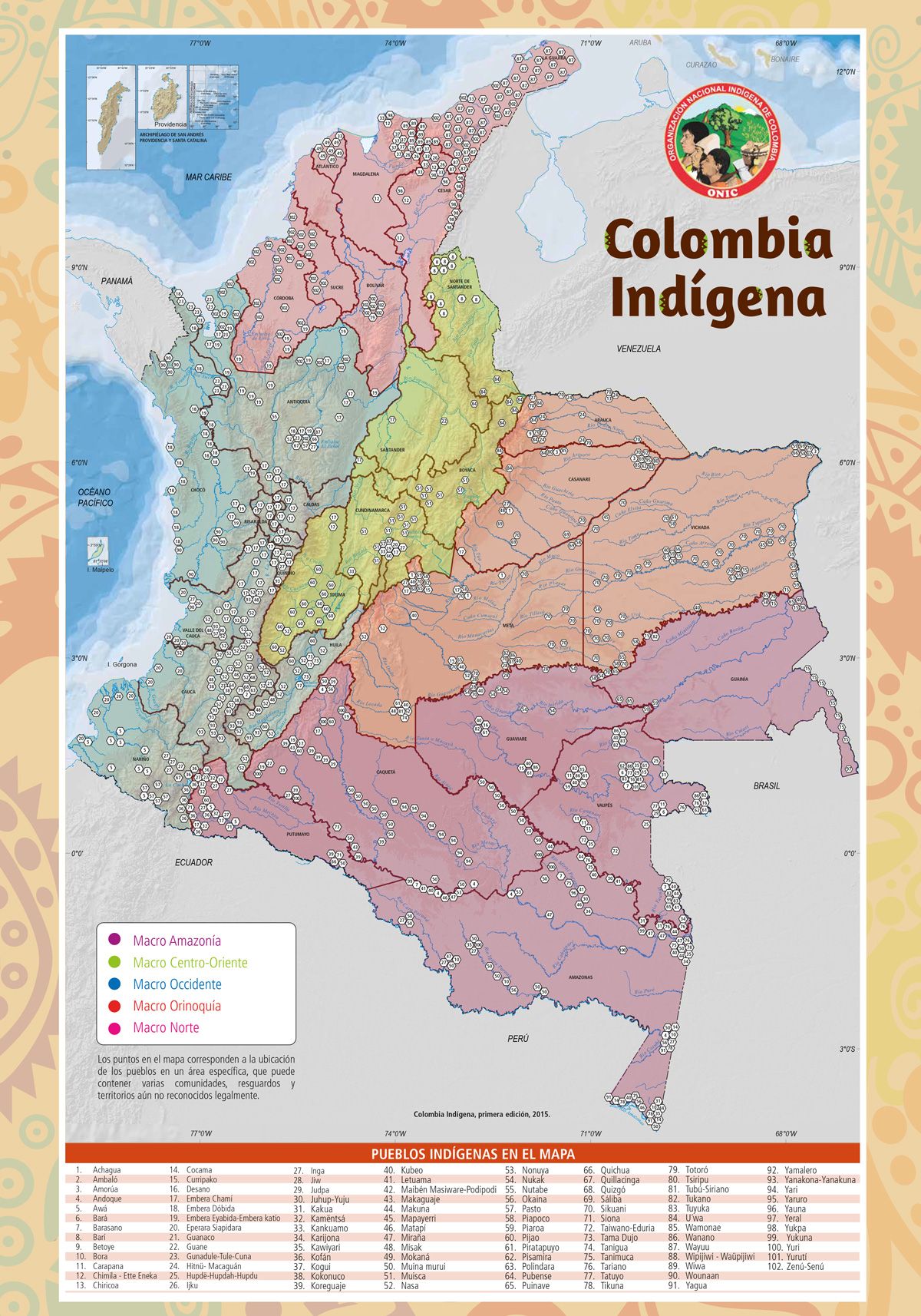
Colombia Indígena - ONIC
Map 2015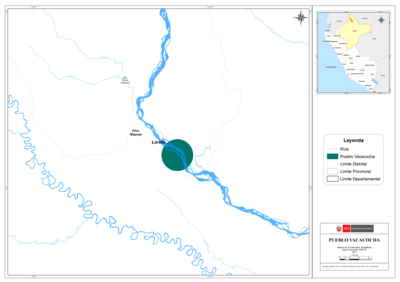
PUEBLO VACACOCHA
Map 2021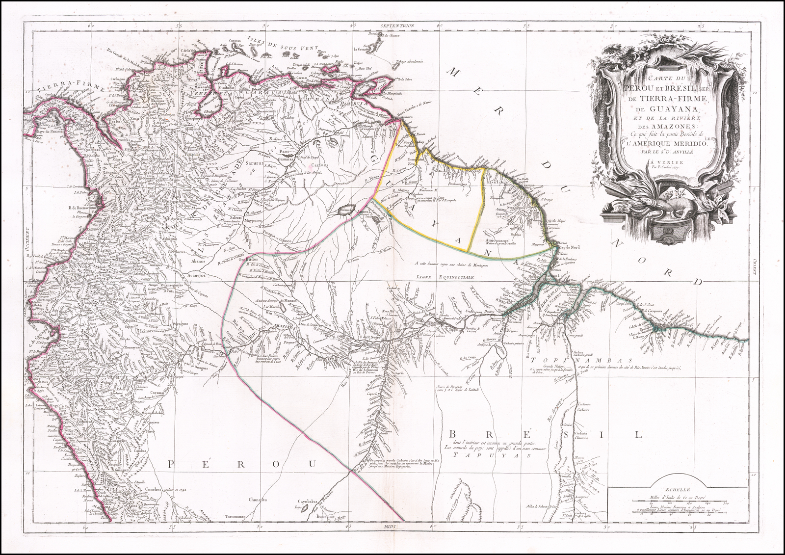
Carte du Pérou et Brésil sep.l de Tierra-Firme, de Guyana, et de la Rivière des Amazones: Ce qui fait la partie Boréale de l'Amérique Meridio. le. Par le Sr. D' Anville
Map 1700 - 1799
Virosis
Artwork