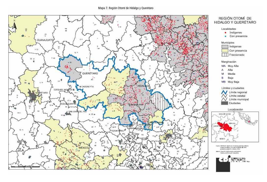
Peoples
- OTOMI
Citation
Comisión Nacional para el Desarrollo de los Pueblos Indígenas. Regiones indígenas de México. Publication no. 330.972. 2006. https://www.gob.mx/cms/uploads/attachment/file/35735/cdi-regiones-indigenas-mexico.pdf.
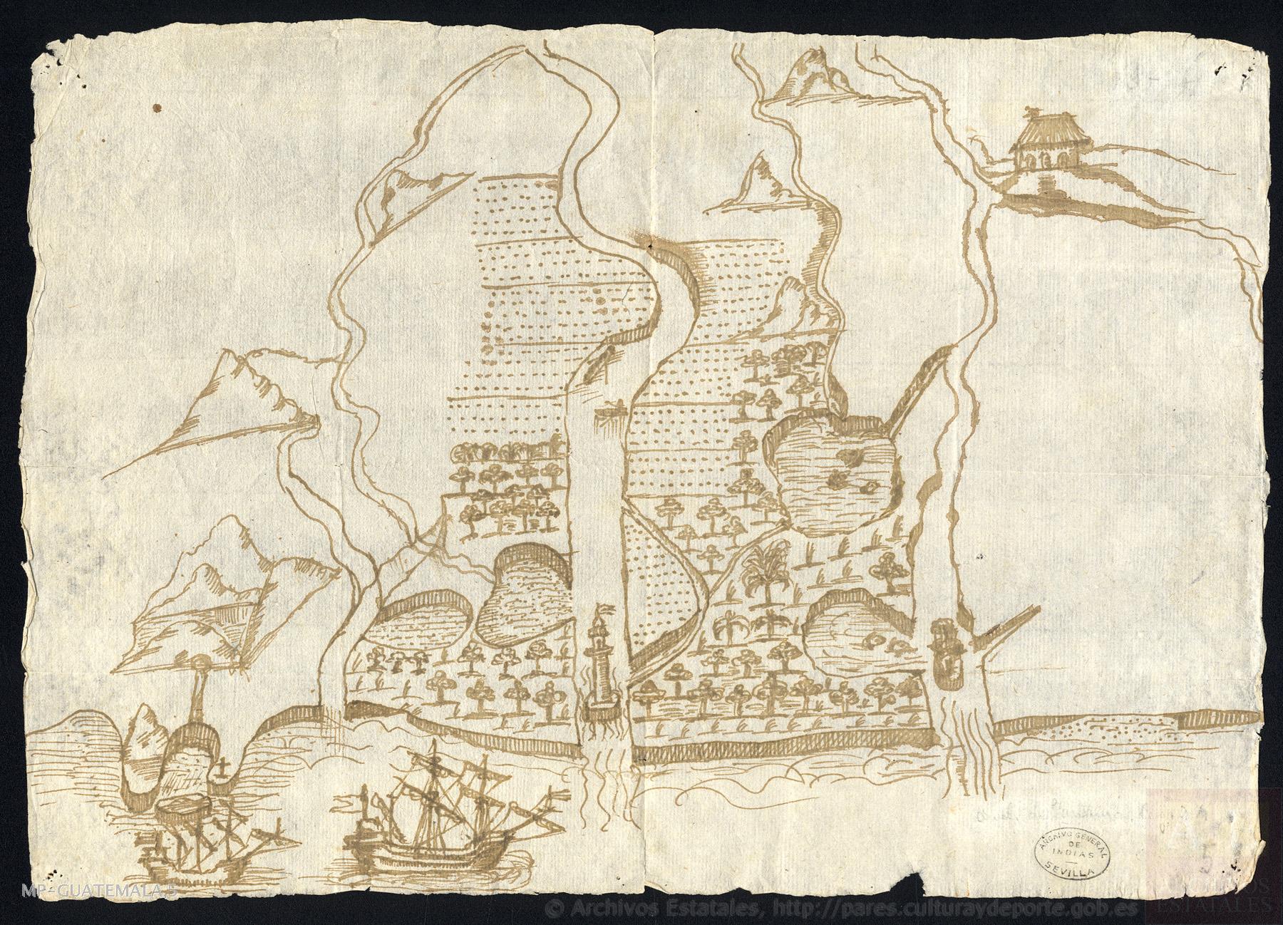
Plano del río de San Juan (Nicaragua)
Map 1673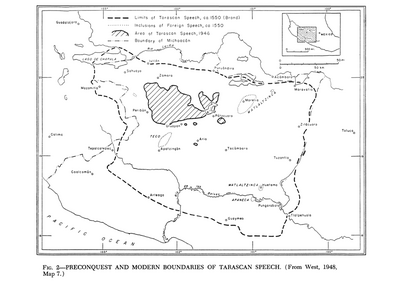
Preconquest and Modern Boundaries of Tarascan Speech
Map 1550 - 1999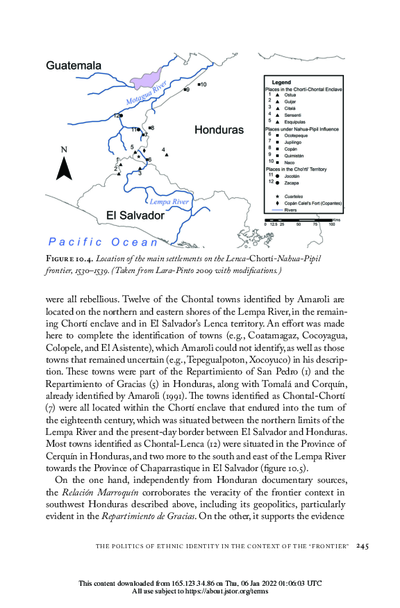
Location of the main settlements on the Lenca-Chortí-Nahua-Pipil frontier, 1530-1539. (Taken from Lara-Pinto 2009 with modifications.)
Map 1530 - 1539
Main Native Groups in Eastern Oaxaca
Map 1969
"Territorio Indígena Cabécar de Ujarrás"
Map 2010
A chart of the English trading part of the bay of Honduras
Map 1791
Carte particulière de la Coste de Cayenne depuis le Cap Nord jusques au Païs des Saimakotes
Map 1600 - 1699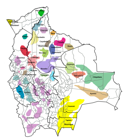
Las formas de propiedad y su registro: las tierras indígenas y recursos naturales
Map 2008