Citation
Hidalgo, Alex. Trail of Footprints: A History of Indigenous Maps from Viceregal Mexico. Austin: University of Texas Press, 2019. https://www.jstor.org/stable/10.7560/317518.6.
![El sonido del río animado: peque peque [The Sound of the Animated River: Peque Peque]](https://dnet8ble6lm7w.cloudfront.net/art_sm/APER065.png)
El sonido del río animado: peque peque [The Sound of the Animated River: Peque Peque]
Artwork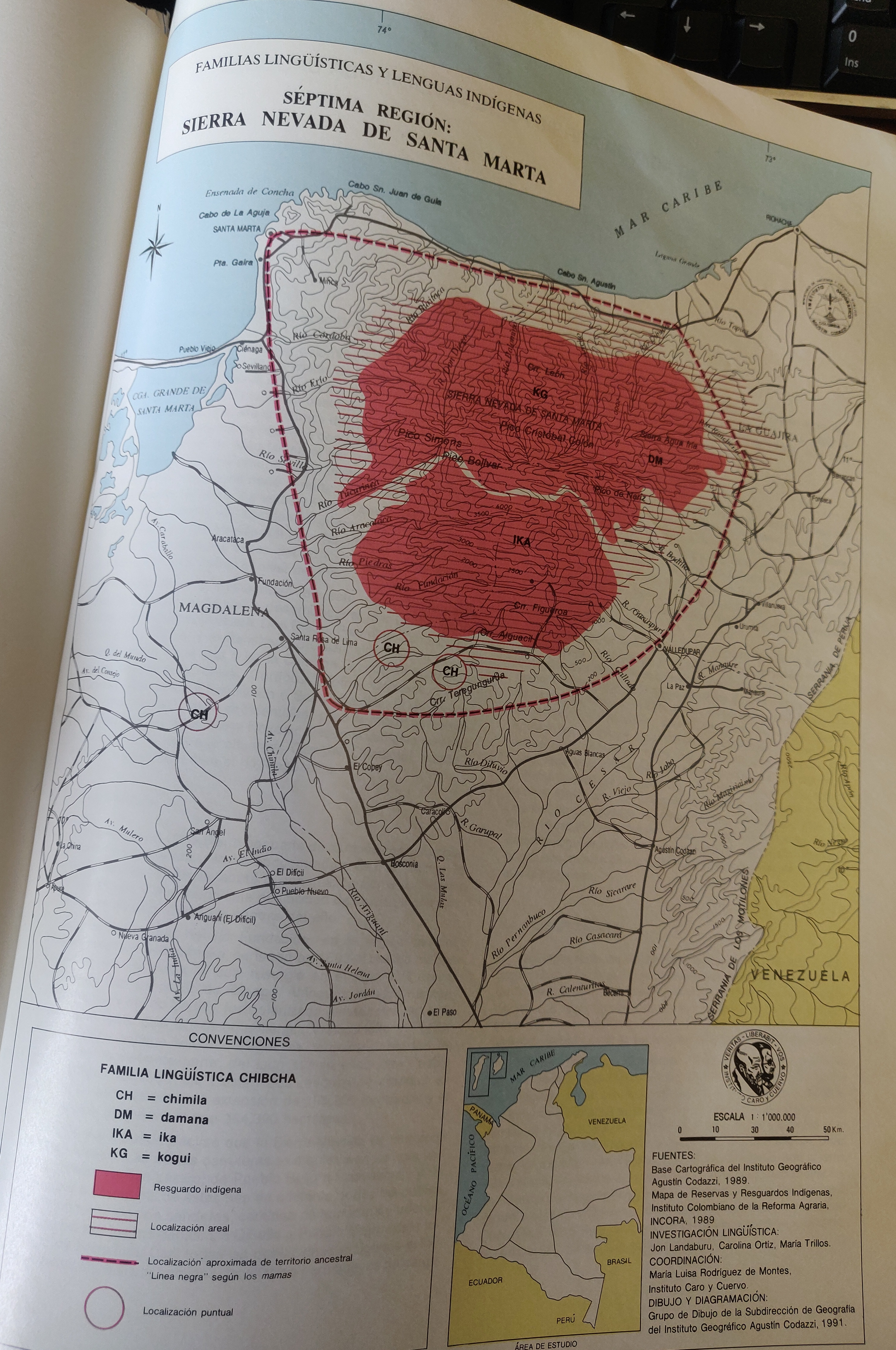
FAMILIAS LINGUÍSTICAS Y LENGUAS INDÍGENAS. SEPTIMA REGION: SIERRA NEVADA DE SANTA MARTA
Map 1989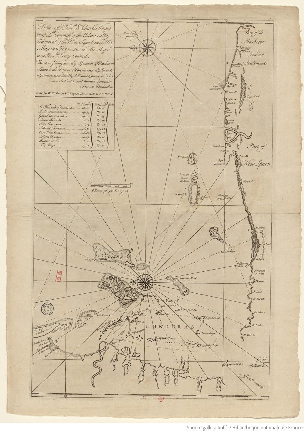
The Spanish and Musketor shore and the bay of Honduras and the islands adjacent
Map 1735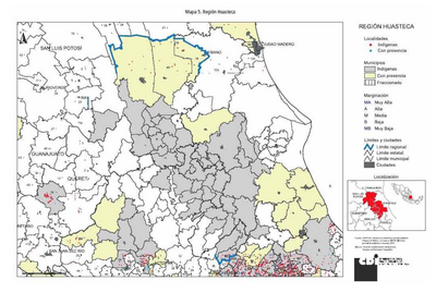
REGIÓN HUASTECA
Map 2000
Sistema guatemalteco de áreas protegidas (SIGAP) y sitios arqueológicos en 2000.
Map 2000
CARTA COROGRAFICA DE LA REPÚBLICA DEL ECUADOR / MANUEL VILLAVICENCIO ;LIT. E IMP. DE F. MAYER Y CA.
Map 1817
Le Perou dans l'Amerique Meridionale Dresse sur les divers relations des filibustiers et nouveaux voyageurs
Map 1719
MICHOACÁN
Map 2015