Citation
Hidalgo, Alex. Trail of Footprints: A History of Indigenous Maps from Viceregal Mexico. Austin: University of Texas Press, 2019. https://www.jstor.org/stable/10.7560/317518.6.
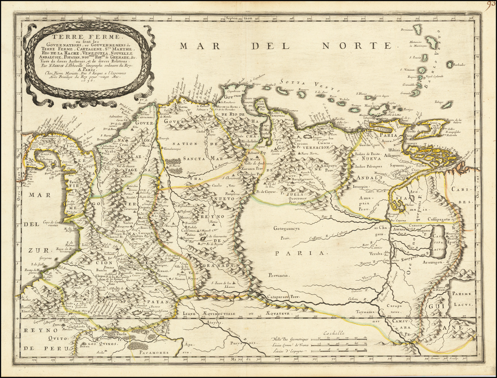
TERRE FERME ou sont les governations ou gouvernemens de Terre ferme;Cartagene Ste. Marthe;Rio de la Hache;Venezuela;nouvelle Andalusie Popayein;nouveau royme de Grenade;&c
Map 1656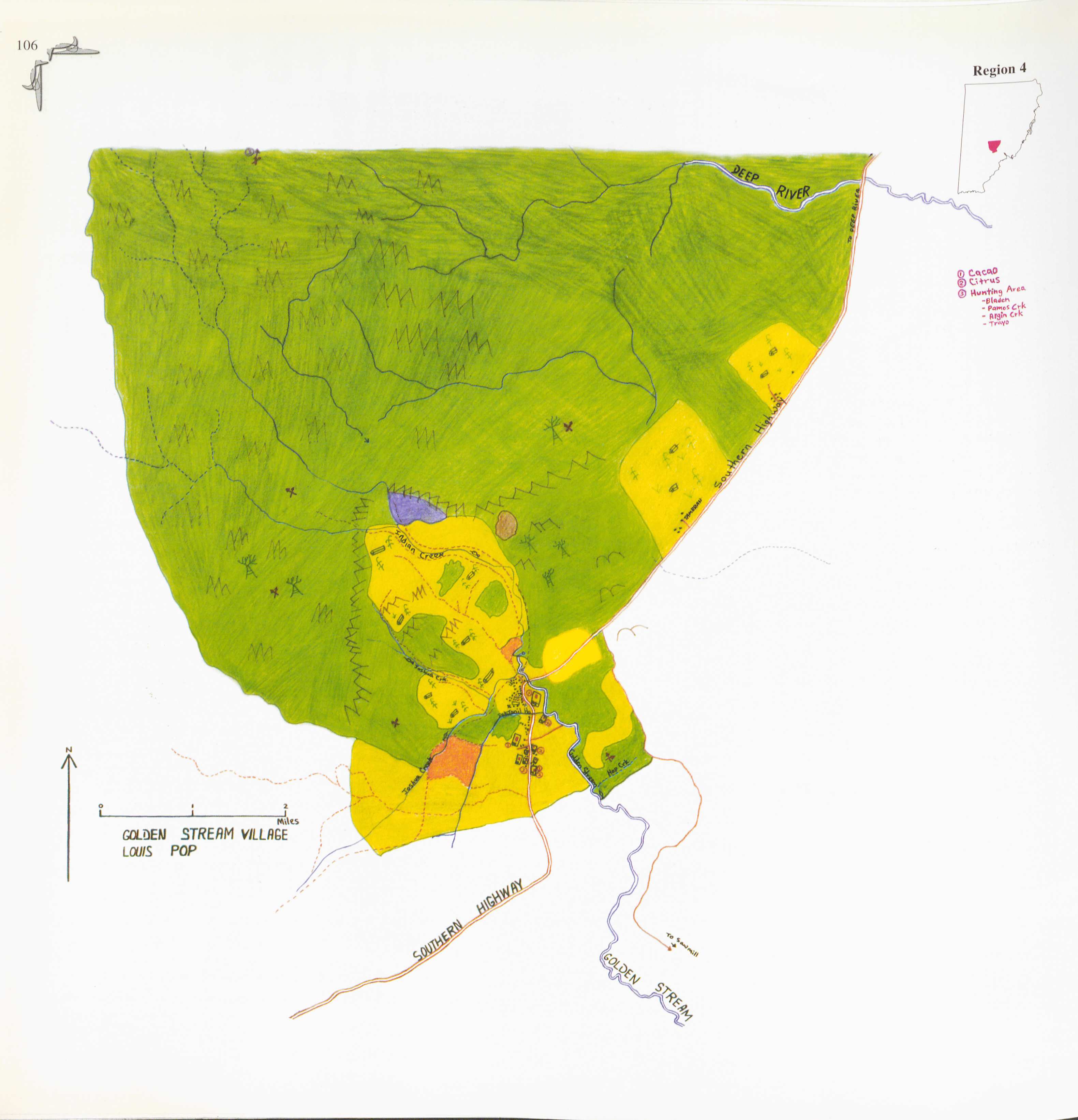
Golden Stream
Map 1997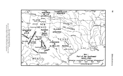
Part of the Southwest 1600-1750 Showing Locations of "Unknown Athapaskans"
Map 1600 - 1750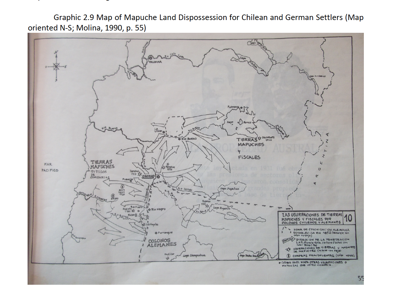
Map of Mapuche Land Dispossession for Chilean and German Settlers
Map 1911 - 1952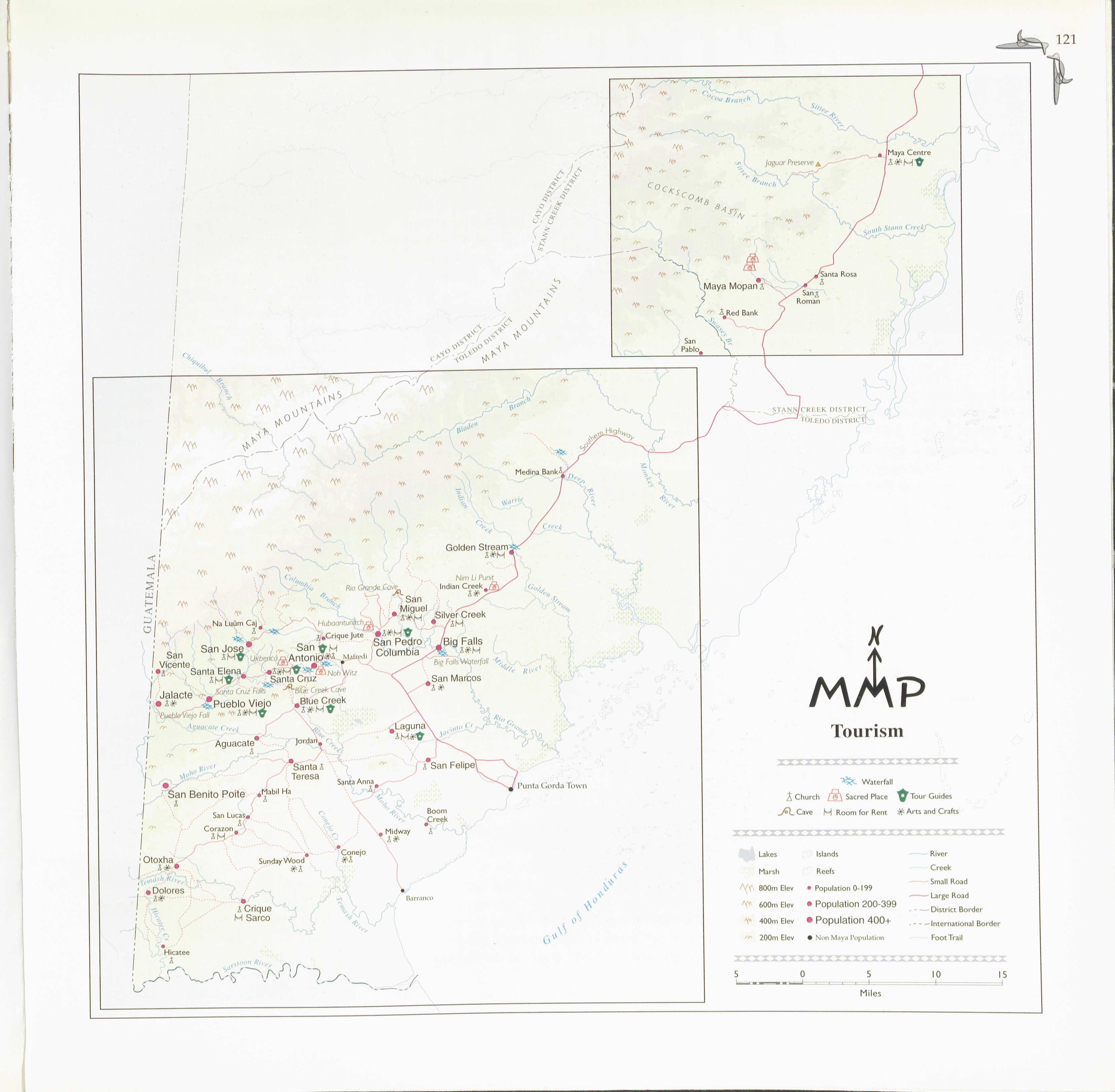
Tourism
Map 1997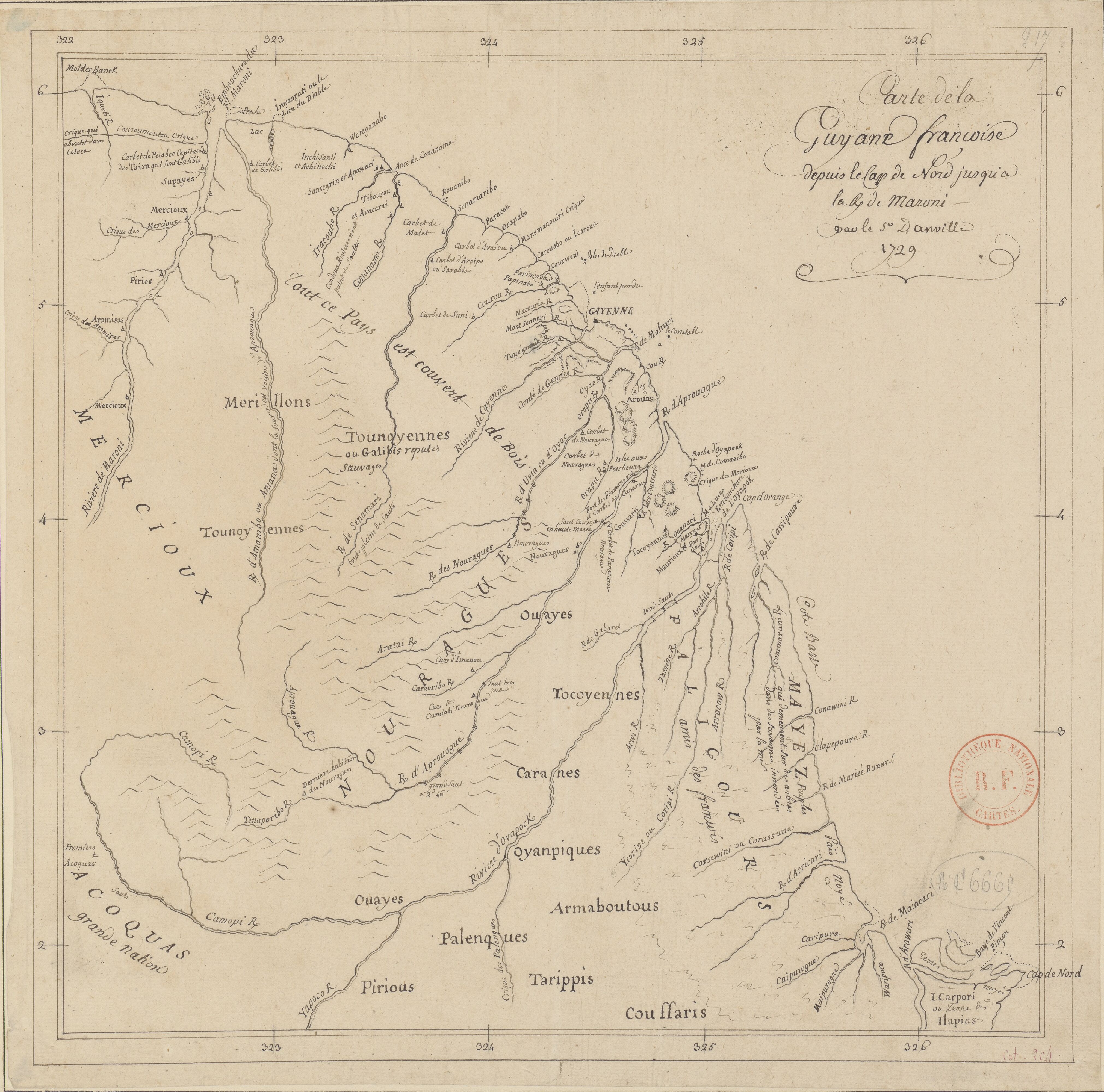
Carte de la Guyane françoise depuis le cap de Nord jusqu'à la R. de Maroni, par le S.r D anville
Map 1729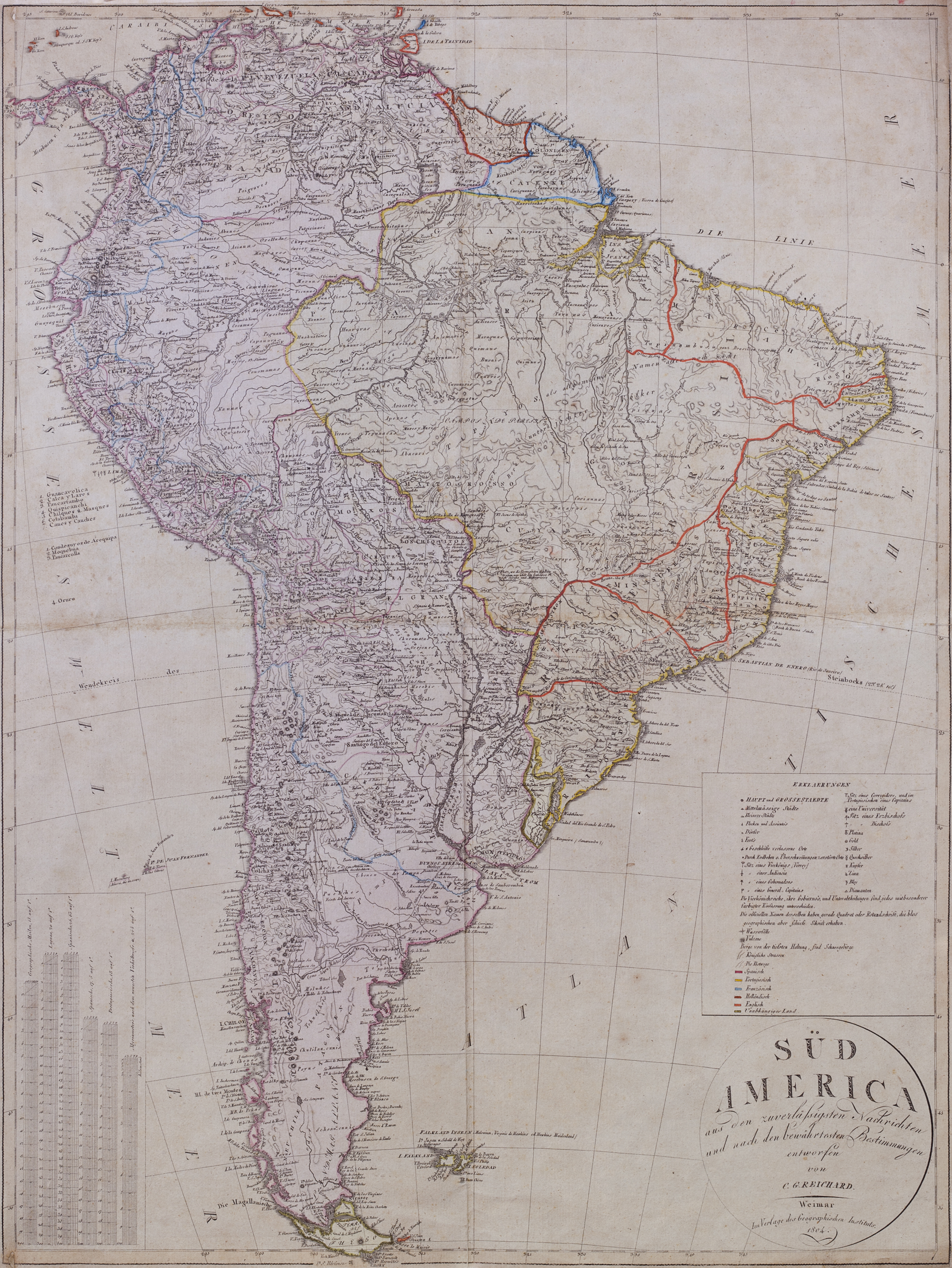
South America: From the latest Discoveries, Shewing the Spanish and Portuguese Settlements, according to Mr. D'Anville.
Map 1771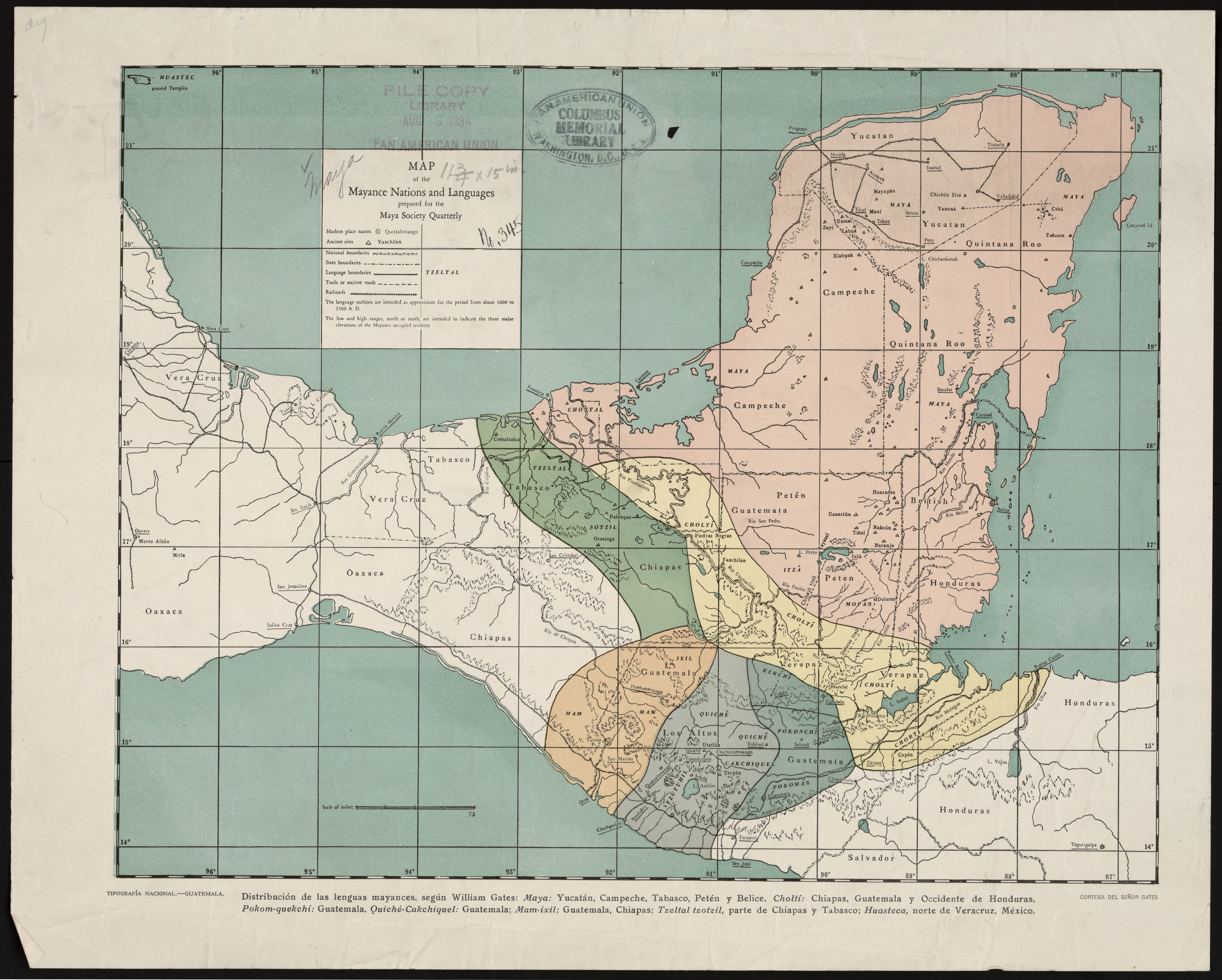
Map of the Mayance Nations and Languages
Map 1000 - 1500