Peoples
- MEXICANO
- OTOMI
- TARASCO
- HUASTECA
- MISTECA
- ZAPOTECA
- HUAVE
- MAYA
Citation
Gadow. "Distribution of Principal Nations After 1300 A.D." Map. 1908. H280. Latin American Library Map Collection. Tulane University, New Orleans.
CARTE DE LA COSTE DEPUIS LA RIVIERE DES AMAZONES JUSQUES A L'ISLE DE CAYENNE
Map 1701
PART OF BRAZIL
Map 1904
Centroamérica: localización de algunos componentes culturales. 1950-1955
Map 1950
Resguardos indígenas en el Departamento de la Guajira
Map
BLACK LINE DECREE: SIERRA NEVADA DE SANTA MARTA
Map 2018
MAPA de las Costas de TIERRA-FIRME Desde el Orinoco hasta Yucatán
Map 1840
Haush
Map 1800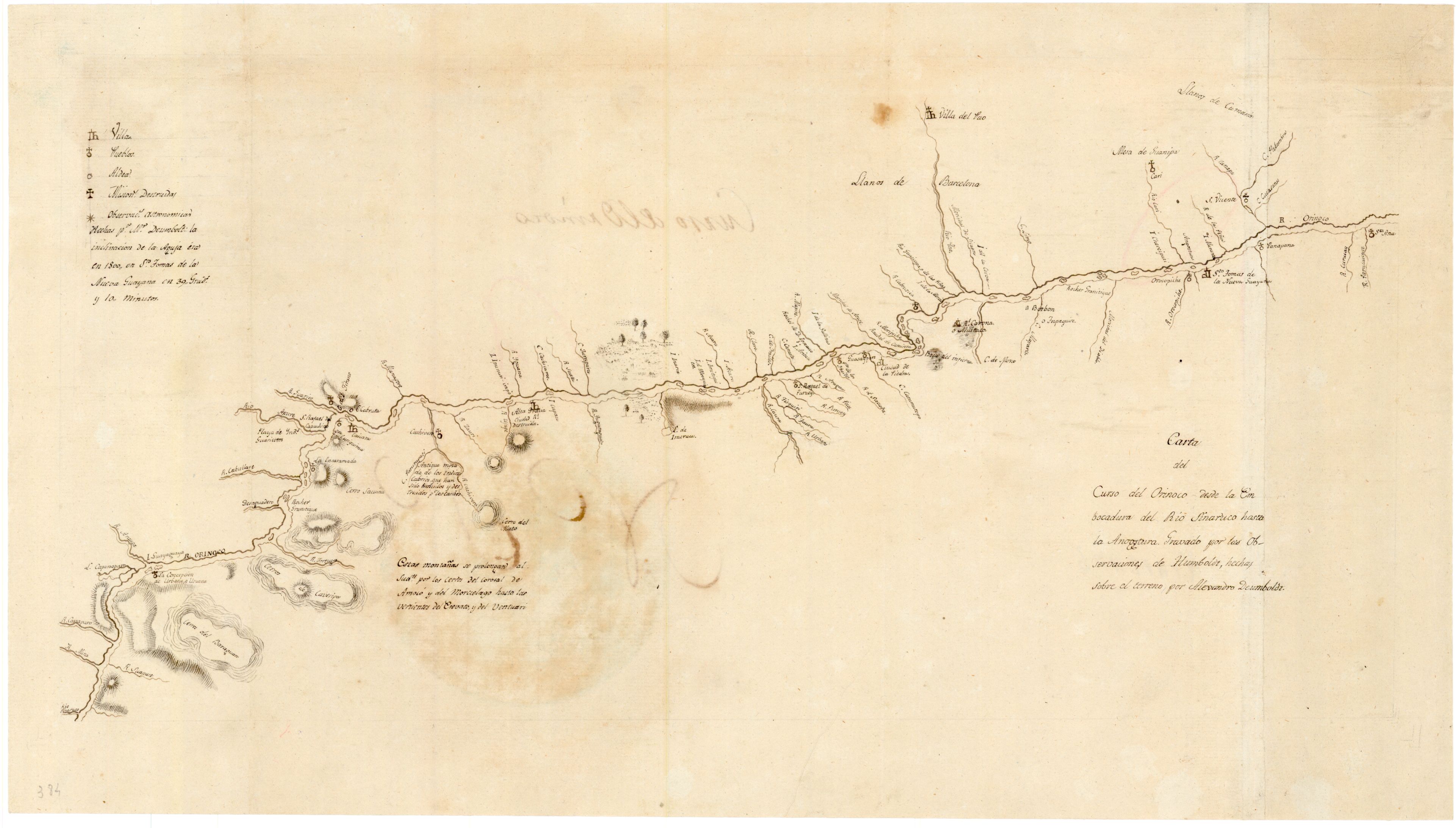
Carta del curso del Orinoco desde la Embocadura del Rio Sinaruco hasta la Angostura
Map 1800