
Peoples
- KUMEYAAY
Citation
Connolly, Mike. "Kumeyaay Lands 1769-2000." Map. Kumeyaay Info. 2000. Accessed June 4, 2022. http://www.kumeyaay.info/kumeyaay_maps/.
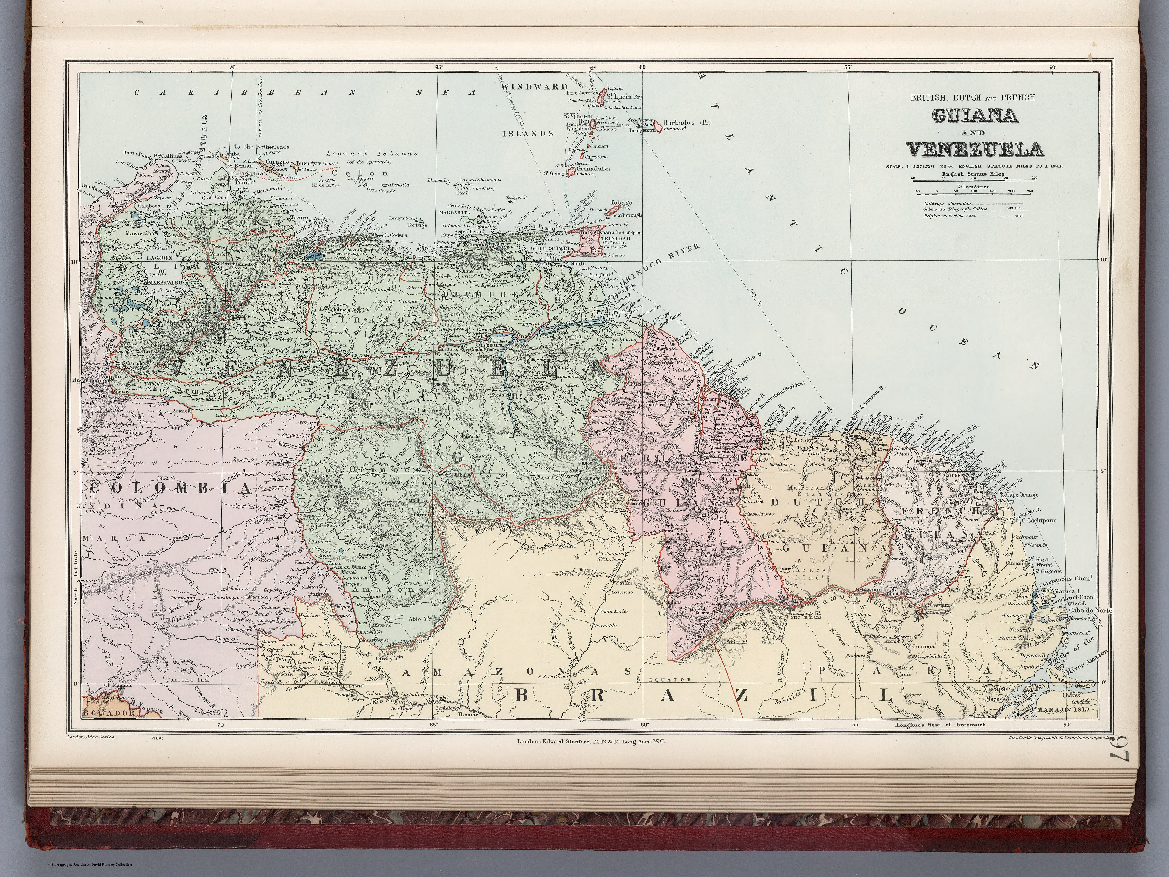
GUIANA AND VENEZUELA
Map 1900 - 1999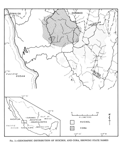
Geographic Distribution of Huichol and Cora, Showing State Names
Map 1969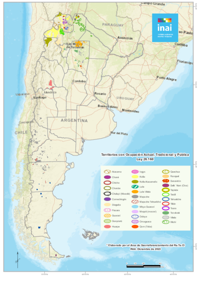
Territorios con Ocupación Actual, Tradicional y Pública Ley 26.160
Map 2023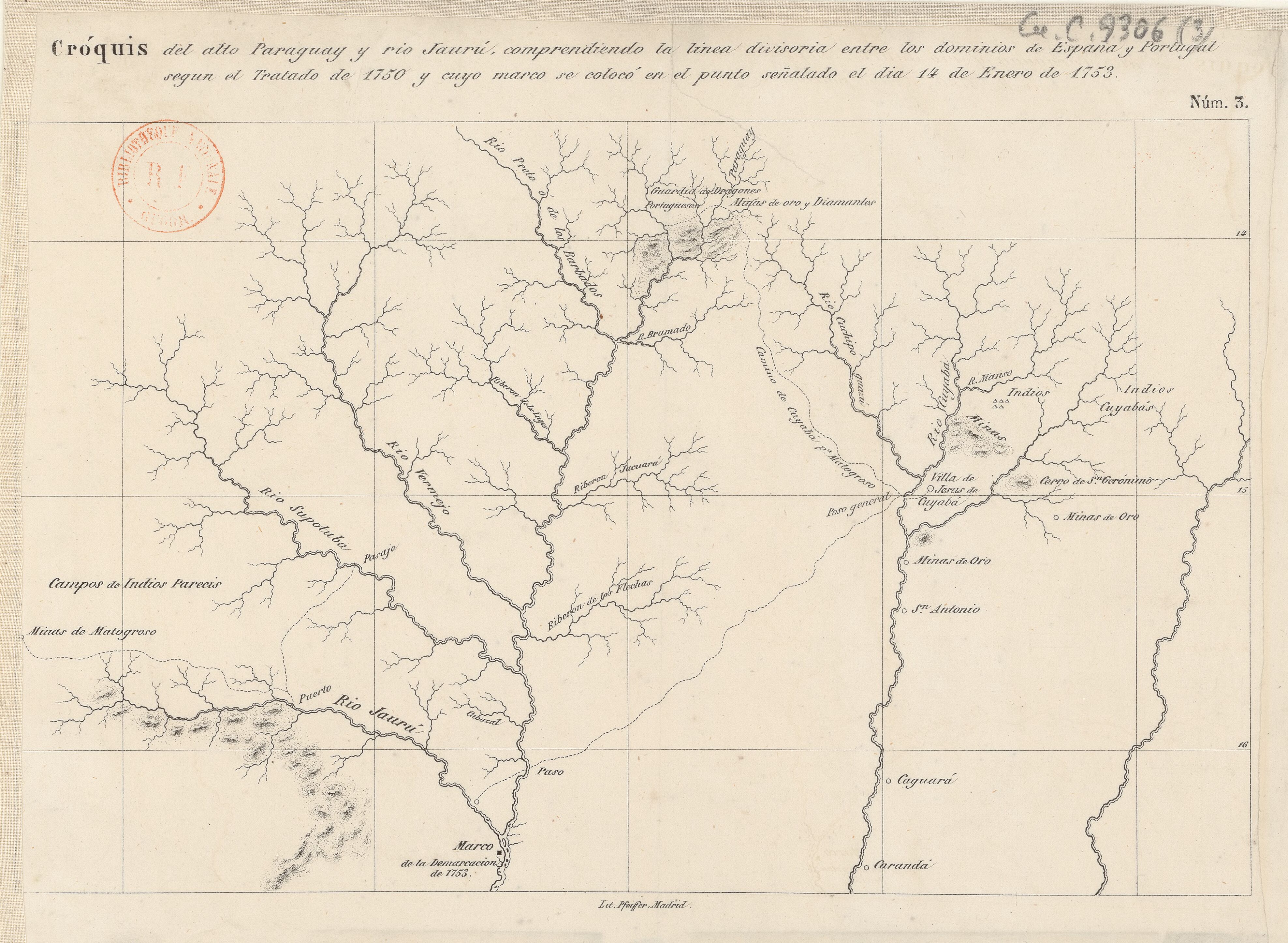
Cróquis del alto Paraguay y rio Jaurú, comprendiendo la linea divisoria entre los dominios de España y Portugal según el Tratado de 1750 y cuyo marco se colocó en el punto señalado el día 14 de Enero de 1753.
Map 1750 - 1850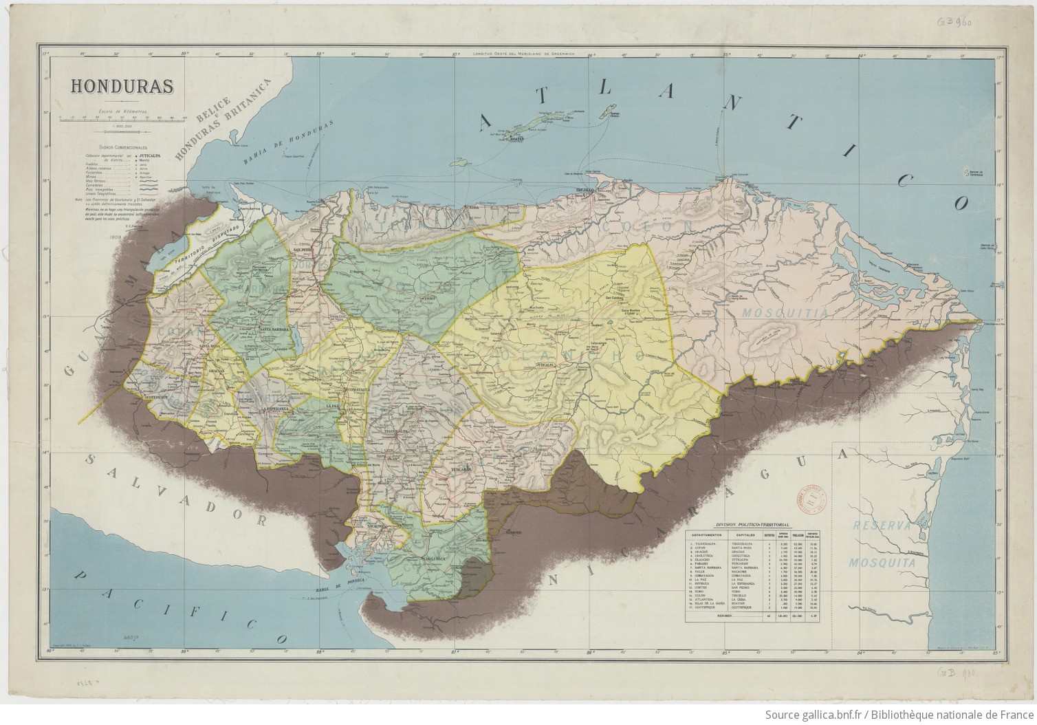
Honduras 1/800.000. Copyright 1909 by E. C. Fiallos
Map 1909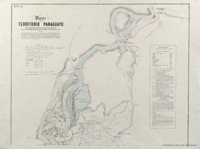
Planta do TERRITORIO PARAGUAYO
Map 1865 - 1868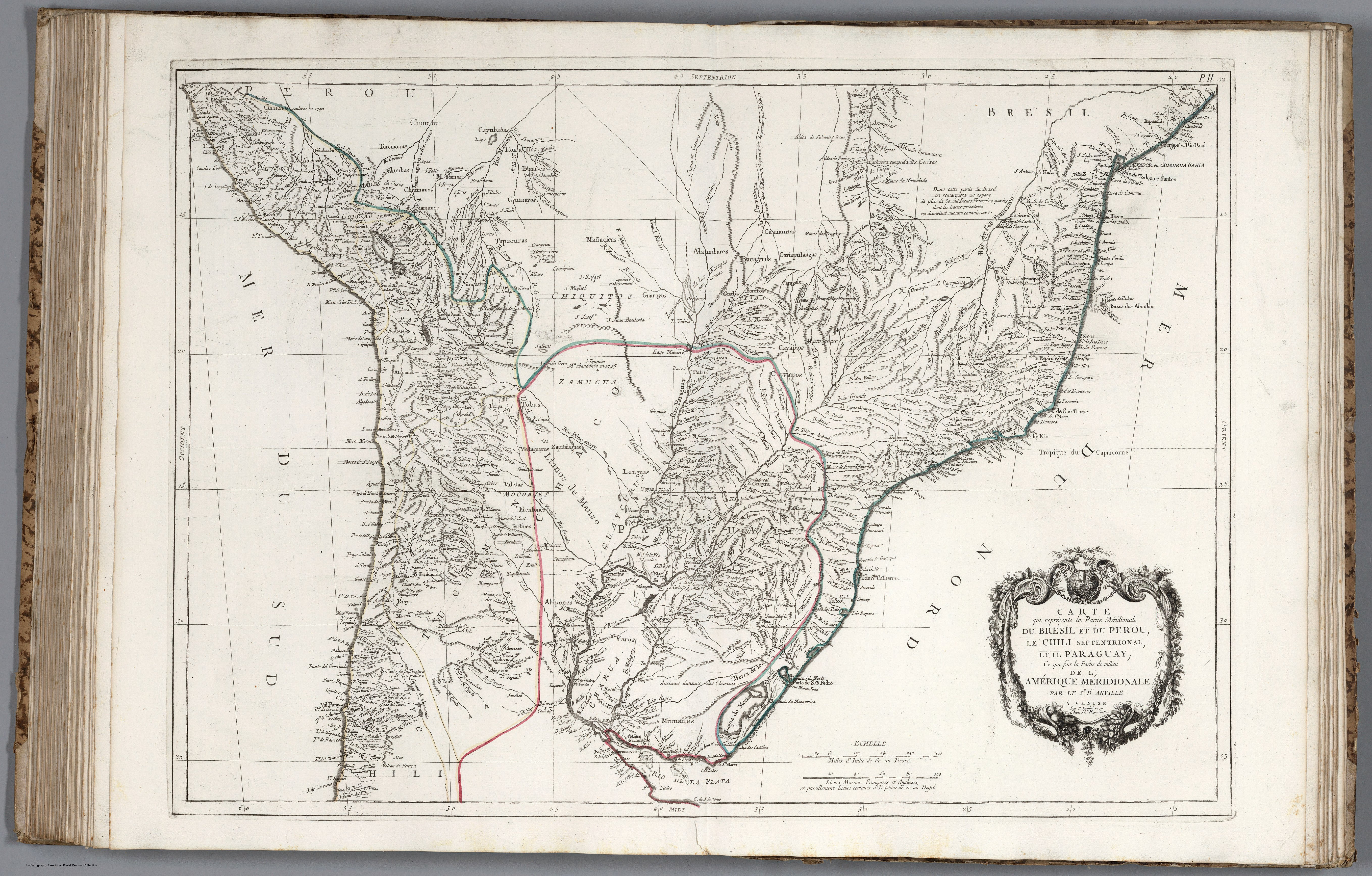
CARTE que représente la Partie Méridionale DU BRÉSIL ET DU PEROU;LE CHILI SEPTENTRIONAL;EL LE PARAGUAY;Ce qui fait la Pártie de milieu DE L’AMÉRIQUE MERIDIONALE PAR LE SR. D’ANVILLE À VENISE Par P. Santini 1779. Chez M’.Remondiri.
Map 1779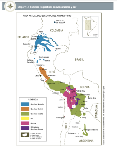
Familias lingüísticas en Andes Centro y Sur
Map 2000 - 2024