Citation
Gruzinski, Serge. Painting the Conquest: the Mexican Indians and the European Renaissance. Paris: Unesco-Flammarion, 1992. NO ONLINE ACCESS TO SOURCE
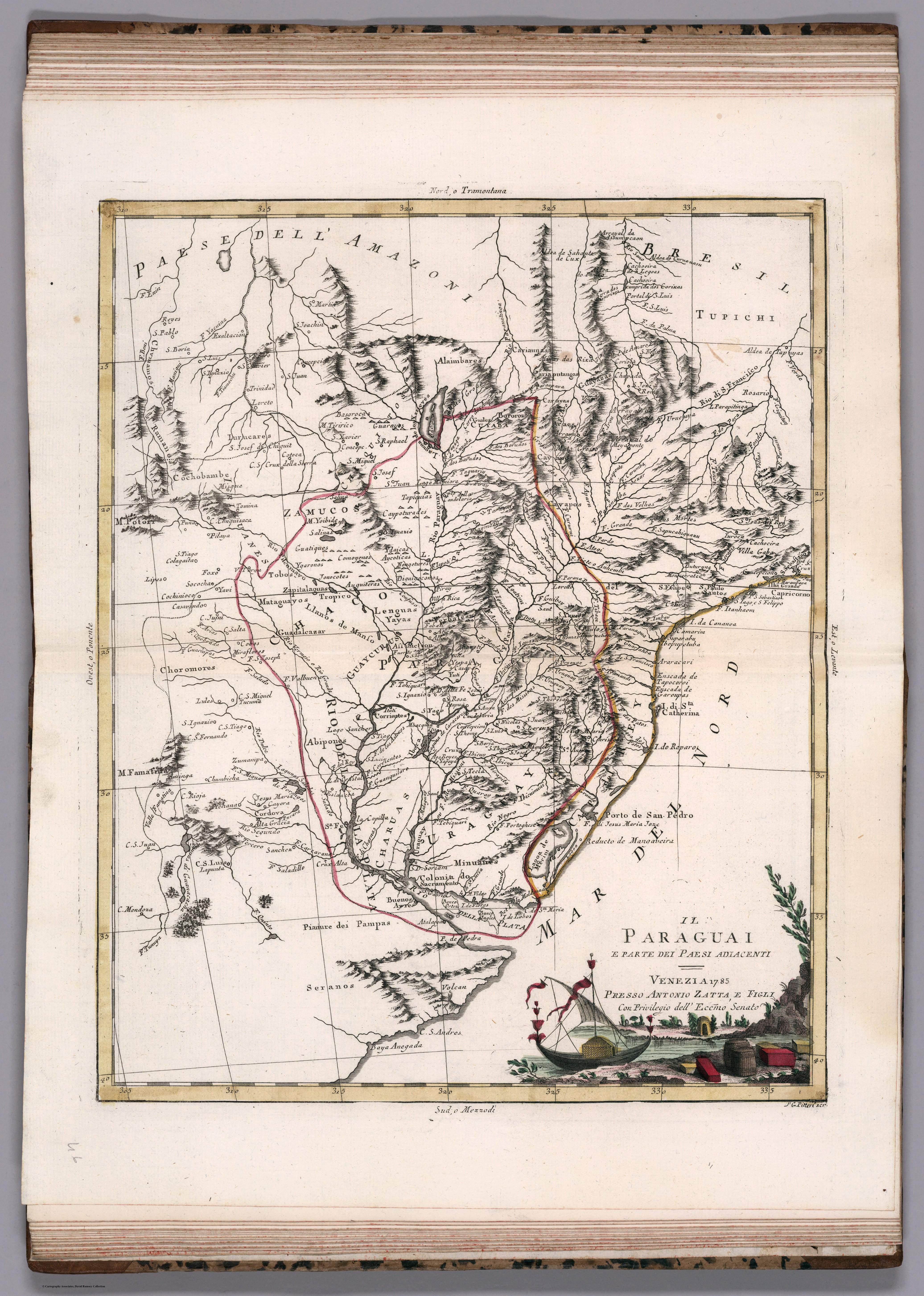
IL PARAGUAI E PARTE DEI PAESI ADIACENT
Map 1785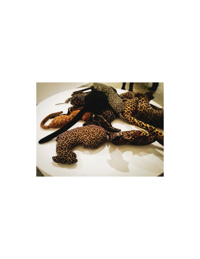
Collection of different versions of the Peru Jaguar, Peru Otorongo, and the “Perucitos”
Artwork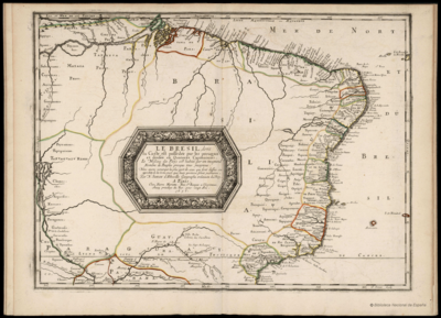
LE BRESIL, dont la Coste est posse dée par les portugais et divisée en Quatorze Capitanieries.
Map 1656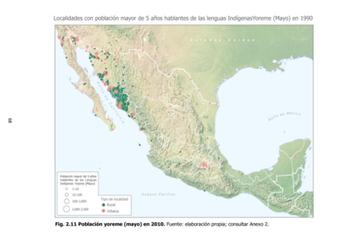
Población yoreme (mayo) en 2010
Map 2010
MAPA DE LA NUEVA PROVINCIA POBLADA DE BARBAROS, SITUADA EN LA COSTA DEL SENO MEXICANO, DESDE EL PUERTO DE TAMPICO HASTA LA PROVINCIA DE TEXAS
Map 1744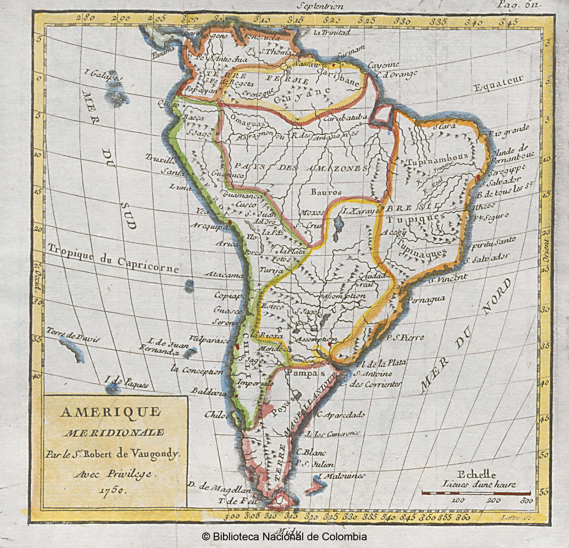
AMERIQUE MERIDIONALE
Map 1750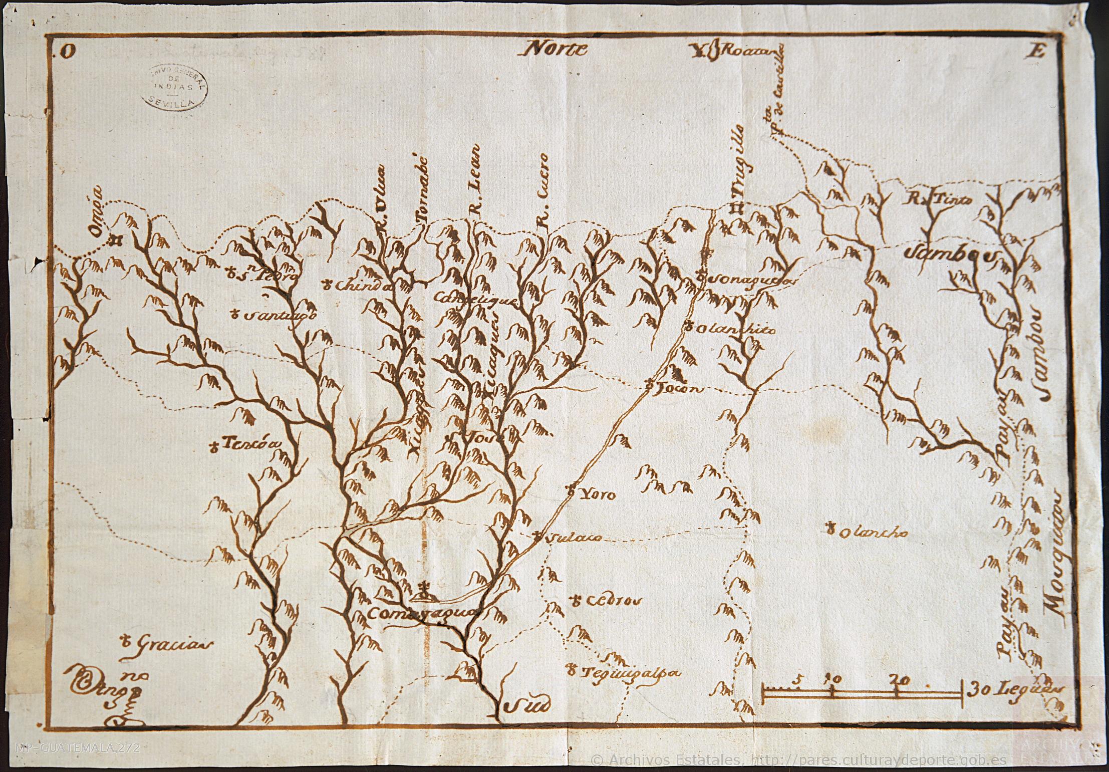
Mapa de la parte de la Provincia de Comayagua ú Honduras en que habitan los indios Xicaques.
Map 1798![Zona de Silencio [The Silence Zone]](https://dnet8ble6lm7w.cloudfront.net/art_sm/AMEX015.png)
Zona de Silencio [The Silence Zone]
Artwork