Dispossesions in the Americas

Dispossesions in the Americas

  • Home
  • Explore
  • About
  • Authors
  • Art
  • Bodies
  • Curricula
  • Cultural Heritage
  • Maps
  • Territories
Back to Explore
Map 1950

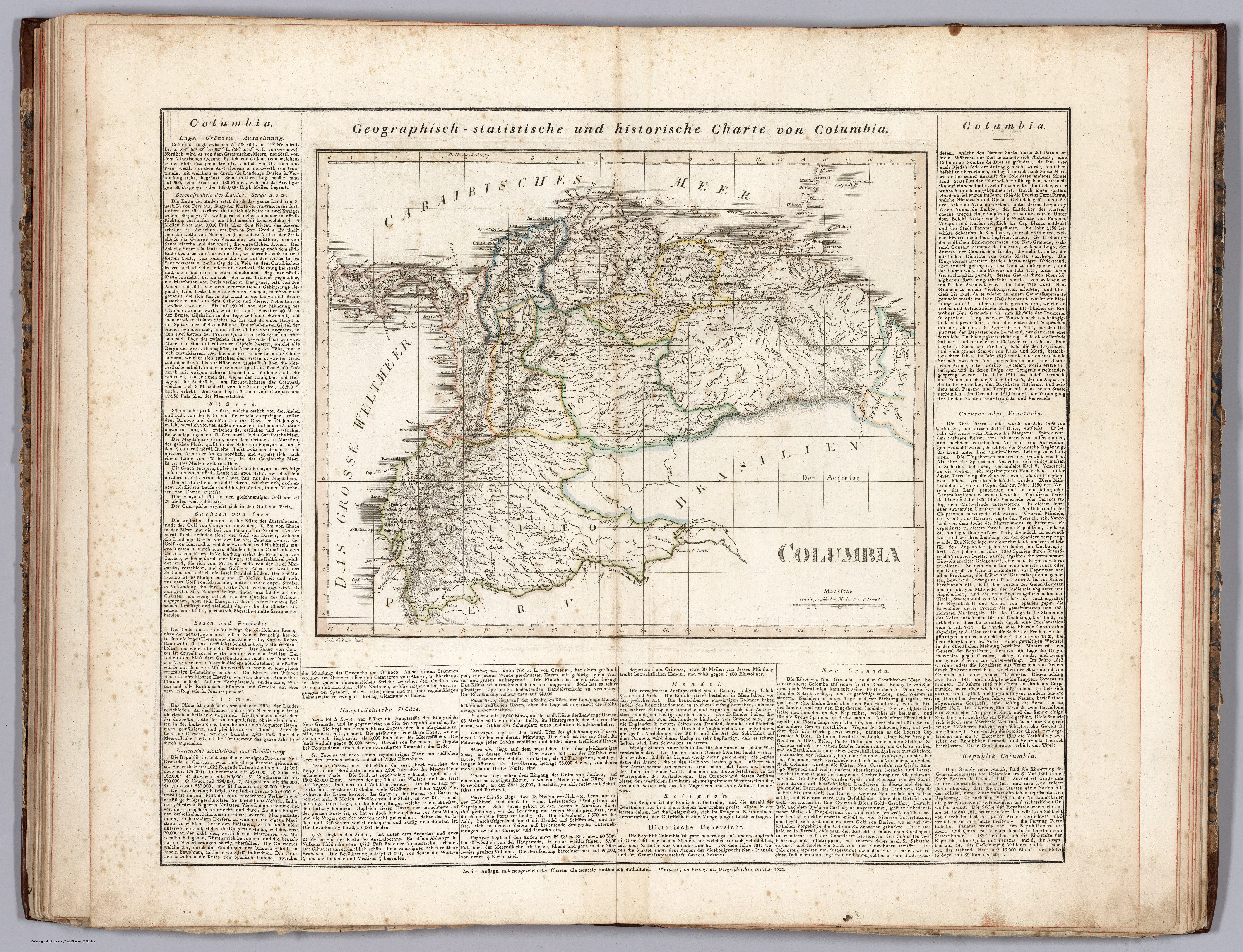
Popoloca Towns

  • WALTER A HOPPE, ANDRES MEDINA, ROBERTO J WEITLANER

Published: 1969

  • Download Image

Peoples

  • POPOLOCA

Citation

Hoppe, Walter A., Andrés Medina, and Roberto J. Weitlaner. "The Popoloca." In Ethnology, edited by Robert Wauchope and Evon Z. Vogt, 489. Vols. 7-8 of Handbook of Middle American Indians. Austin: University of Texas Press, 1969. https://ebookcentral-proquest-com.proxy.library.upenn.edu/lib/upenn-ebooks/reader.action?docID=4826335&ppg=504.

  • Download Image

Reading in Spanish

Map 1950

Popoloca Towns

  • WALTER A HOPPE, ANDRES MEDINA, ROBERTO J WEITLANER

Published: 1969

  • Download Image
  • Download Image

Related Content

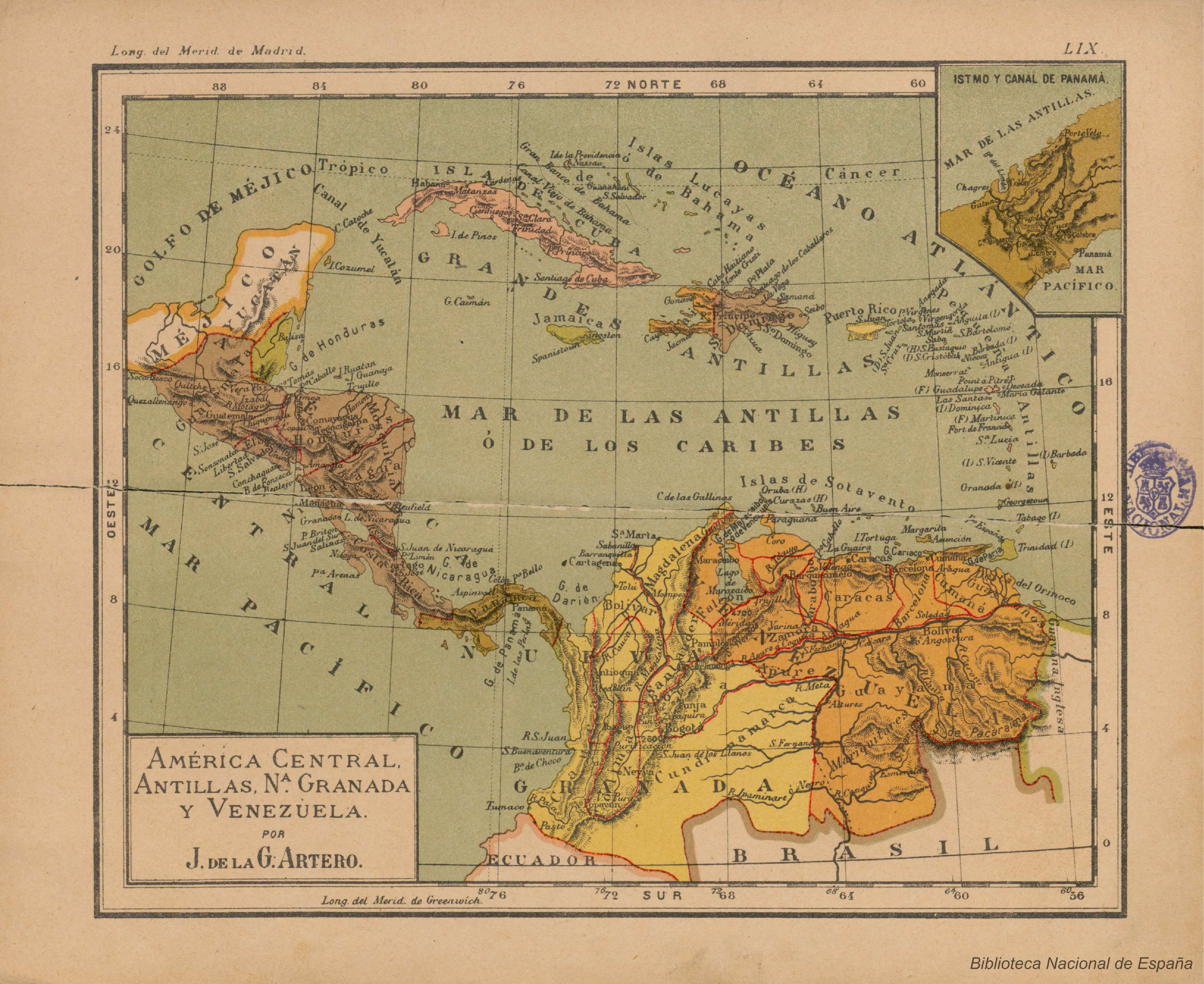
The Caribee Islands and Guyana.

The Caribee Islands and Guyana.

Map 1700 - 1799
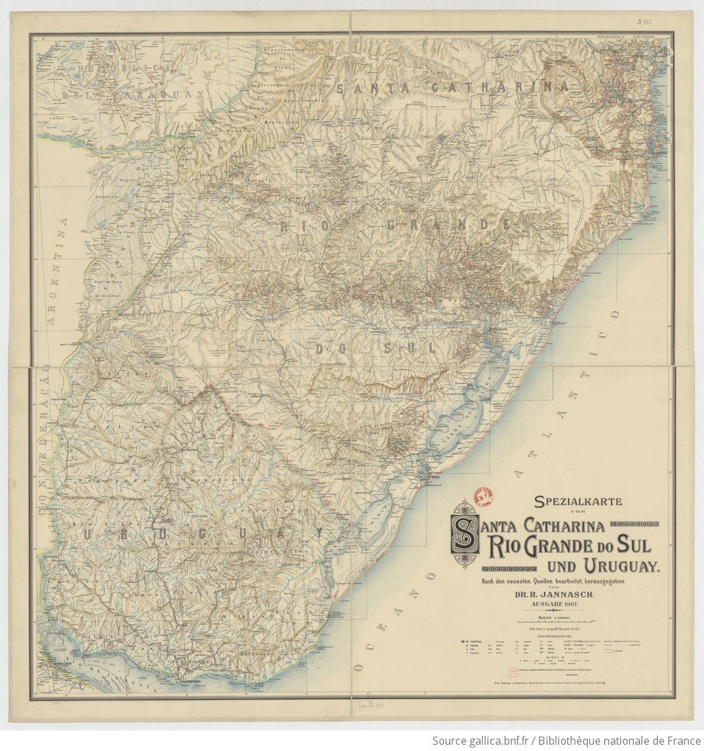
Mappa do Sul do Imperio do Brazil e Paizes Limitrophes

Mappa do Sul do Imperio do Brazil e Paizes Limitrophes

Map 1865
Mapa de la ubicaciĂ³n de Pueblo Ranquel

Mapa de la ubicaciĂ³n de Pueblo Ranquel

Map 2016
America Meridionalis

America Meridionalis

Map 1619
Plan del Partido de Santa FĂ© de Atun Jauxa, hecho por orden del Sr. D. Juan MarĂ­a de GĂ¡lvez y Montes de Oca, primer Gobernador Intendente del Departamento de Tarma. Año de 1785.

Plan del Partido de Santa FĂ© de Atun Jauxa, hecho por orden del Sr. D. Juan MarĂ­a de GĂ¡lvez y Montes de Oca, primer Gobernador Intendente del Departamento de Tarma. Año de 1785.

Map 1785
AYMARA POLITIES AROUND THE TITICACA LAKE IN THE 15TH AND 16TH CENTURIES

AYMARA POLITIES AROUND THE TITICACA LAKE IN THE 15TH AND 16TH CENTURIES

Map 1548 - 1610
Conversion of Ejidos into Private Property, Sajcabaja and Jocotenango, Guatemala, Late 18th Century through 19th Century

Conversion of Ejidos into Private Property, Sajcabaja and Jocotenango, Guatemala, Late 18th Century through 19th Century

Map 1700 - 1800
TERRITORIOS DE LOS PUEBLOS Y NACIONALIDADES;TERRITORIOS DE VIDA Y AREAS PROTEGIDAS EN EL ECUADOR CONTINENTAL

TERRITORIOS DE LOS PUEBLOS Y NACIONALIDADES;TERRITORIOS DE VIDA Y AREAS PROTEGIDAS EN EL ECUADOR CONTINENTAL

Map 2016 - 2018

Dispossessions in the Americas

A project by

University of Pennsylvania

Copyright 2024

With support from

Mellon Foundation

Site design & development

Element 84

Art Credits

Hoppe, Walter A., AndrĂ©s Medina, and Roberto J. Weitlaner. “The Popoloca.” In Ethnology, edited by Robert Wauchope and Evon Z. Vogt, 489. Vols. 7-8 of Handbook of Middle American Indians. Austin: University of Texas Press, 1969. https://ebookcentral-proquest-com.proxy.library.upenn.edu/lib/upenn-ebooks/reader.action?docID=4826335&ppg=504.
Site Pages

  • Home
  • Explore
  • About
  • Authors
  • Art
  • Bodies
  • Curricula
  • Cultural Heritage
  • Maps
  • Territories