Peoples
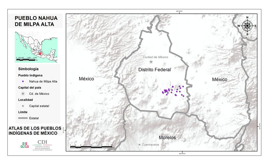
- NAHUA DEL DISTRITO FEDERAL
Citation
Instituto Nacional de los Pueblos Indígenas. "Nahuas del Distrito Federal – Ubicación." Atlas de los Pueblos Indígenas de México. Accessed August 13, 2021. http://atlas.inpi.gob.mx/nahuas-del-distrito-federal-ubicacion/.