Dispossesions in the Americas

Dispossesions in the Americas

  • Home
  • Explore
  • About
  • Authors
  • Art
  • Bodies
  • Curricula
  • Cultural Heritage
  • Maps
  • Territories
Back to Explore
Map 2020

PUEBLO TOJOLABAL

  • INSTITUTO NACIONAL DE LOS PUEBLOS INDIGENAS

Published: 2020

  • Download Image

Peoples

  • TOJOLABAL

Citation

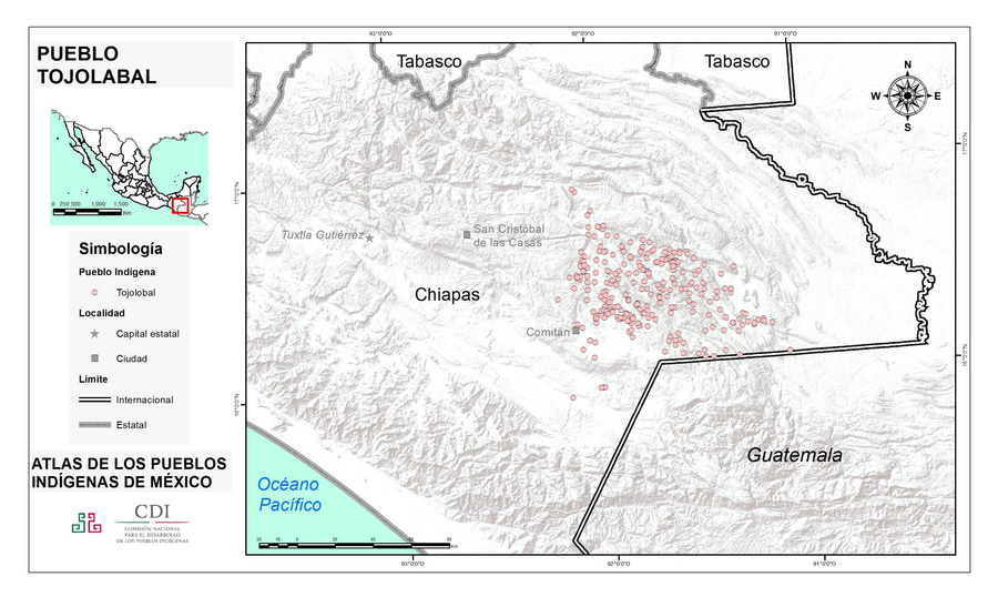
Instituto Nacional de los Pueblos Indígenas. "Tojolabales – Ubicación." Atlas de los Pueblos Indígenas de México. http://atlas.inpi.gob.mx/tojolabales-ubicacion/.

  • Download Image

Reading in Spanish

Map 2020

PUEBLO TOJOLABAL

  • INSTITUTO NACIONAL DE LOS PUEBLOS INDIGENAS

Published: 2020

  • Download Image
  • Download Image

Related Content

MAPA ETNO-HISTÓRICO DO BRASIL E REGIÕES ADJACENTES

MAPA ETNO-HISTÓRICO DO BRASIL E REGIÕES ADJACENTES

Map 1400 - 1944
Dialect geography of K'ichee'

Dialect geography of K'ichee'

Map
ETATS-UNIS DU BRÉSIL: Carte politique

ETATS-UNIS DU BRÉSIL: Carte politique

Map 1908
Carte de l'Isle de Caïenne et des rivières voisines dans laquelle on a marqué nommément toutes les habitations qui composent actuellement cette colonie françoise

Carte de l'Isle de Caïenne et des rivières voisines dans laquelle on a marqué nommément toutes les habitations qui composent actuellement cette colonie françoise

Map 1729
Map of the RIVER AQUIRY (an Affluent of the Purûs)

Map of the RIVER AQUIRY (an Affluent of the Purûs)

Map 1800 - 1850
PUEBLO YAQUI

PUEBLO YAQUI

Map 2020
CROQUIS DE LOS RÍOS NAPO Y PUTUMAYO Según datos traídos por el Coronel D. PEDRO PORTILLO

CROQUIS DE LOS RÍOS NAPO Y PUTUMAYO Según datos traídos por el Coronel D. PEDRO PORTILLO

Map 1905
"Carta Maritima del Reyno de Tierra Firme ú Castilla del Oro : Comprehende el Istmo y Provincia de Panamá, las Provincias de Veragua, Darien y Biruquete"

"Carta Maritima del Reyno de Tierra Firme ú Castilla del Oro : Comprehende el Istmo y Provincia de Panamá, las Provincias de Veragua, Darien y Biruquete"

Map 1729 - 1776

Dispossessions in the Americas

A project by

University of Pennsylvania

Copyright 2024

With support from

Mellon Foundation

Site design & development

Element 84

Art Credits

Instituto Nacional de los Pueblos Indígenas. “Tojolabales – Ubicación.” Atlas de los Pueblos Indígenas de México. http://atlas.inpi.gob.mx/tojolabales-ubicacion/.

Site Pages

  • Home
  • Explore
  • About
  • Authors
  • Art
  • Bodies
  • Curricula
  • Cultural Heritage
  • Maps
  • Territories