Peoples
- POPOLUCA
Citation
Instituto Nacional de los Pueblos Indígenas. "Popolucas de la Sierra – Ubicación." Atlas de los Pueblos Indígenas de México. Accessed July 7, 2021. http://atlas.inpi.gob.mx/popolucas-de-la-sierra-ubicacion/.
Pueblo y tierras de Sopó
Map 1758
COLOMBIA
Map 1834
ETATS-UNIS DU BRÉSIL: Carte politique
Map 1908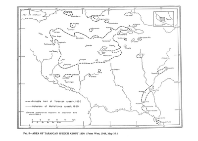
Area of Tarascan Speech about 1850
Map 1850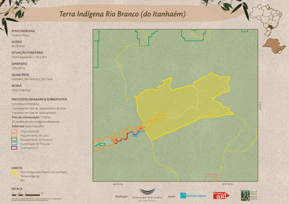
Terra Indígena Rio Branco (do Itanhaém)
Map 2012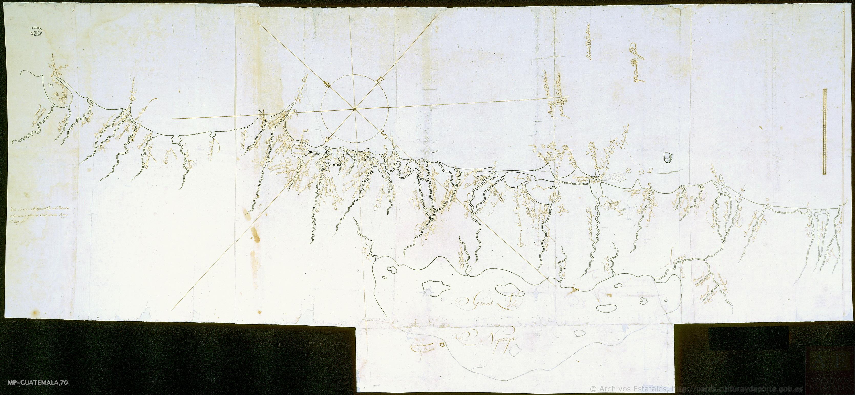
Mapa de costa comprendida entre Trujillo (Honduras) y la desembocadura del río de Matina.
Map 1768
Detail from the 1770 copy of Francisco Álvarez Barreiro’s 1728 map of northern New Spain illustrating Spanish mapping of Indian domains in southern Texas and along the Gulf Coast, especially through the repetition of labels: “tierra de los Pampopas,” “tierra de los Carrizos,” “tierra de los Cujanes,” etc.
Map 1728
Serie Fatherland / Padre Patria
Artwork