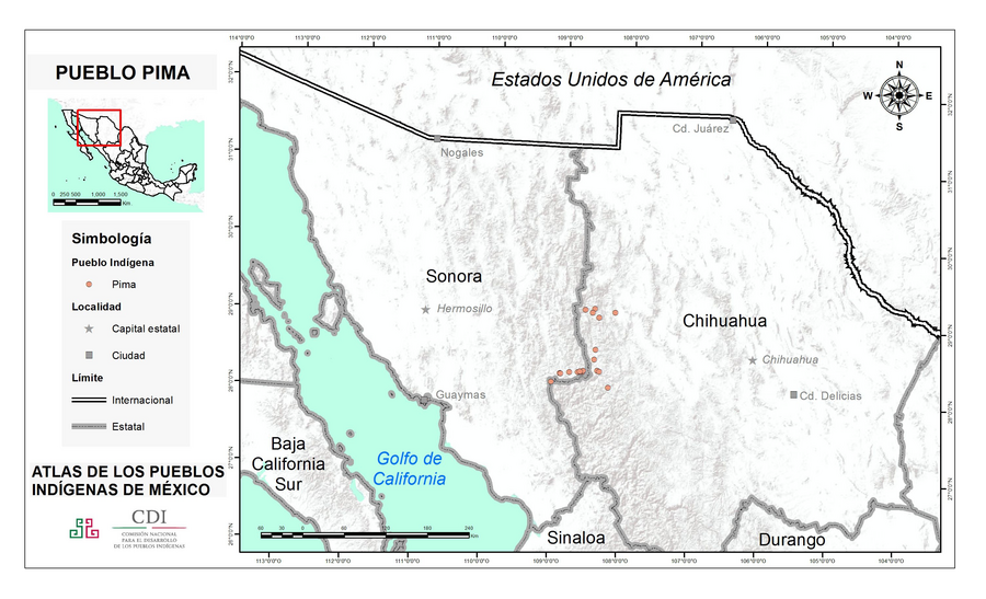
Peoples
- PIMA
Citation
Instituto Nacional de los Pueblos Indígenas. "Pimas – Ubicación." Atlas de los Pueblos Indígenas de México. Accessed August 12, 2021. http://atlas.inpi.gob.mx/pimas-ubicacion/.
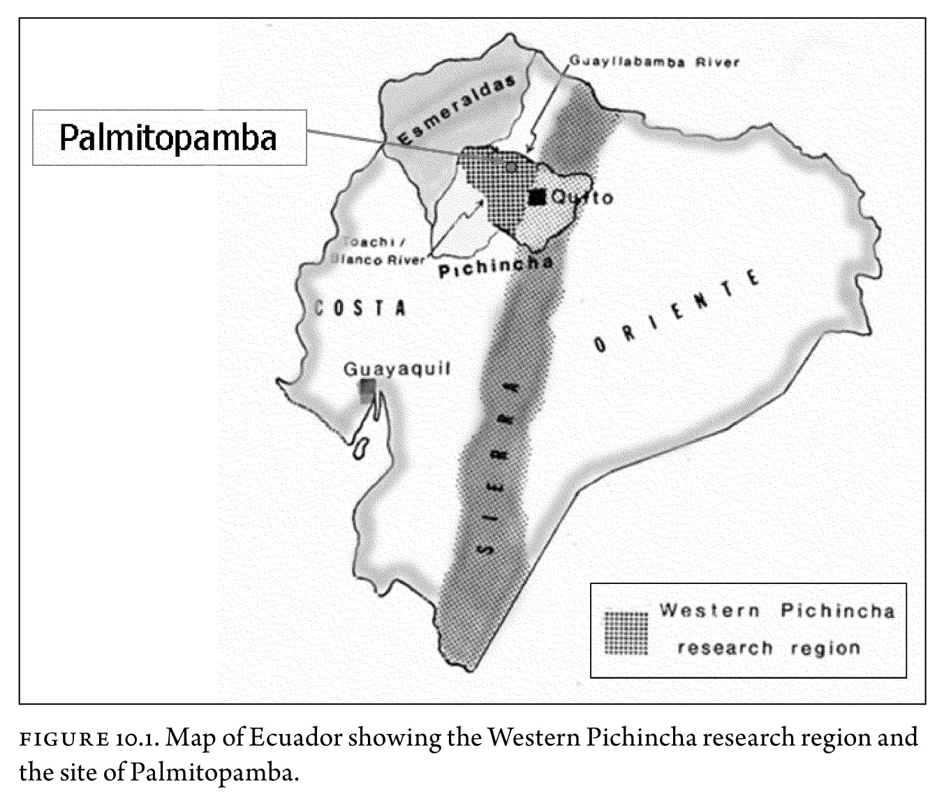
Figure 10.1. Map of Ecuador showing the Western Pichincha research region and the site of Palmitopamba.
Map -700 - 1534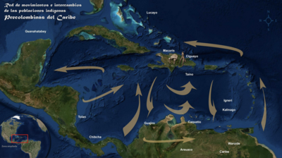
Red de movimientos e intercambios de las poblaciones indígenas Precolombinas del Caribe
Map 1492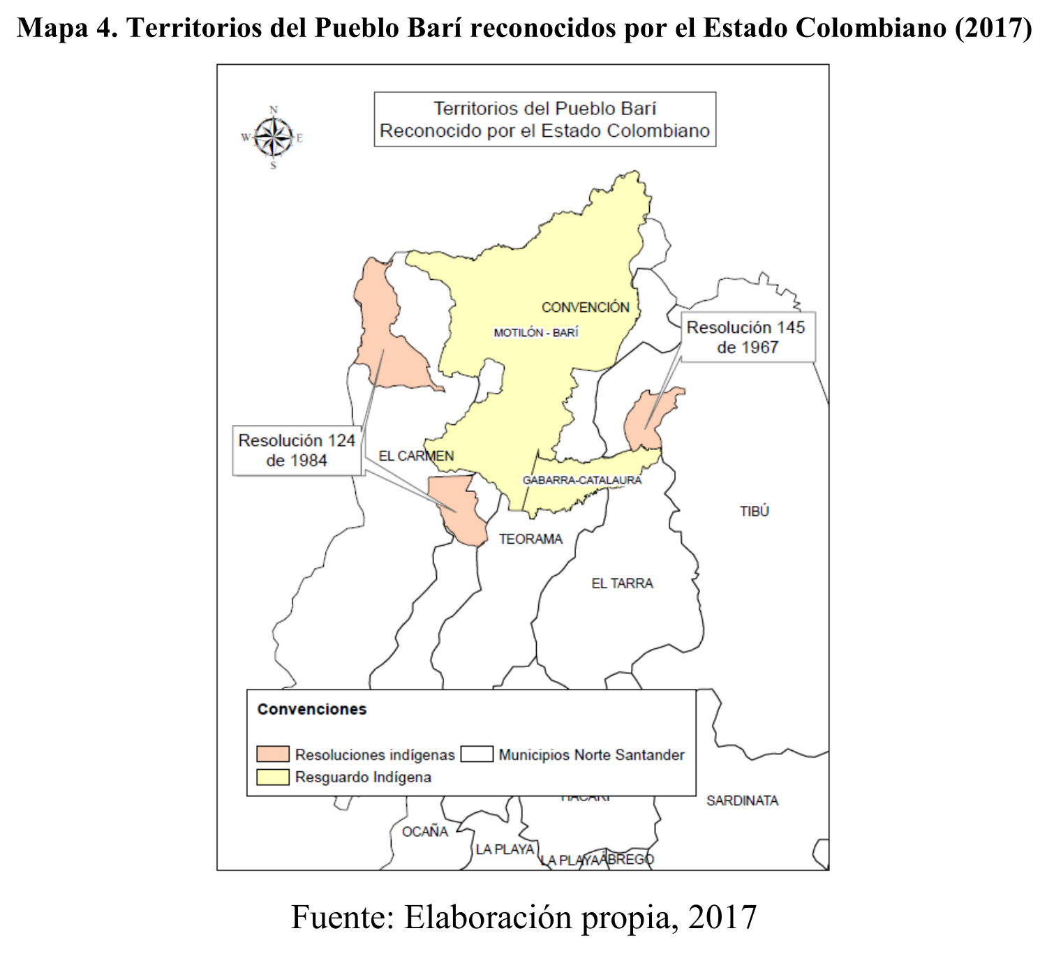
Territorios del Pueblo Barí reconocidos por el Estado Colombiano (2017)
Map 2017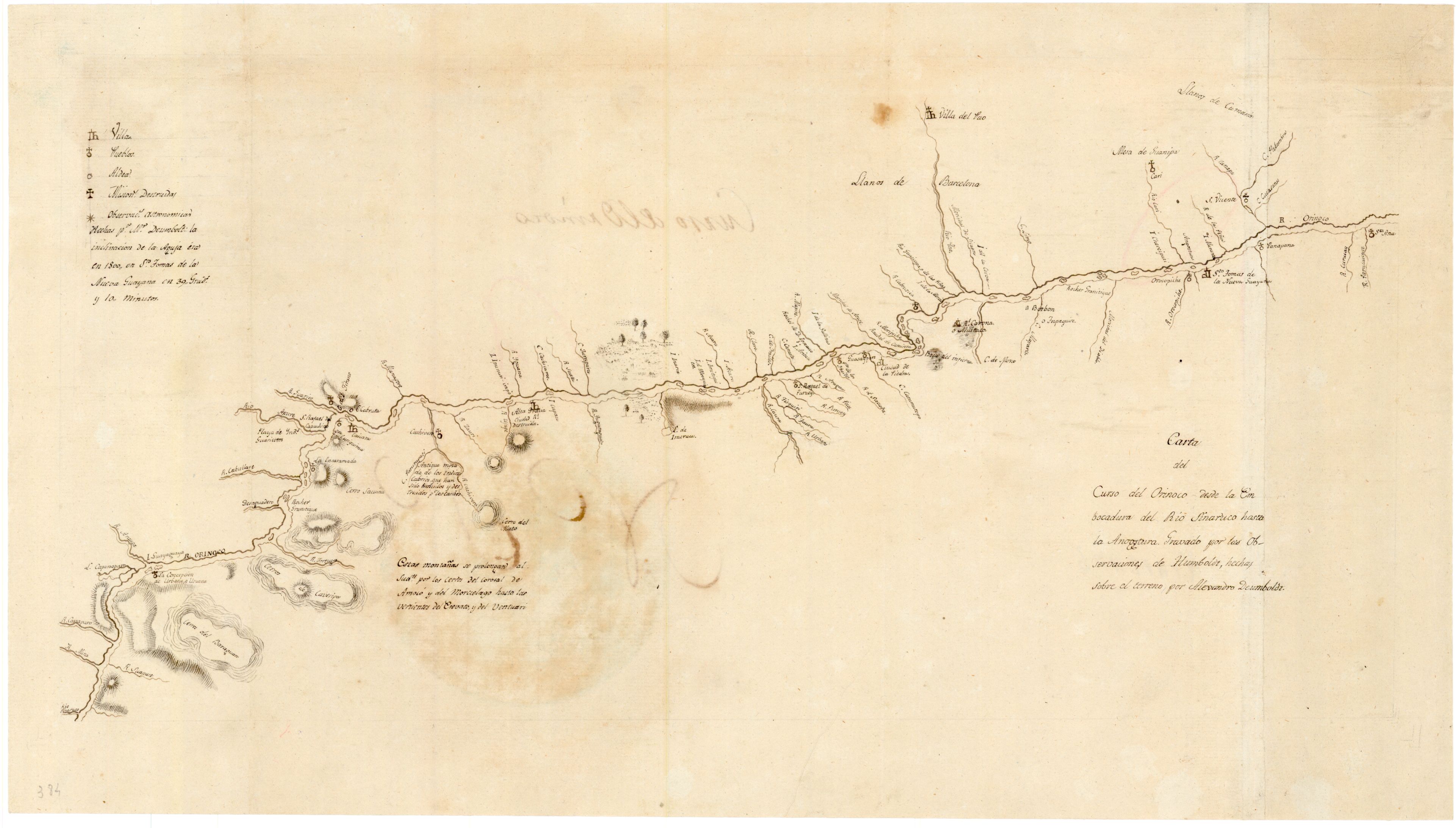
Carta del curso del Orinoco desde la Embocadura del Rio Sinaruco hasta la Angostura
Map 1800![El punto de no retorno [The Point of No Return]](https://dnet8ble6lm7w.cloudfront.net/art_sm/ACOL020.png)
El punto de no retorno [The Point of No Return]
Artwork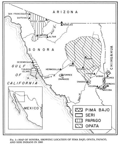
Map of Sonora, Showing Historic Location of Pima Bajo, Opata, Papago, and Seri Indians in 1960
Map 1960![Monumento V [Monument V]+N161](https://dnet8ble6lm7w.cloudfront.net/art_sm/AMEX005.png)
Monumento V [Monument V]+N161
Artwork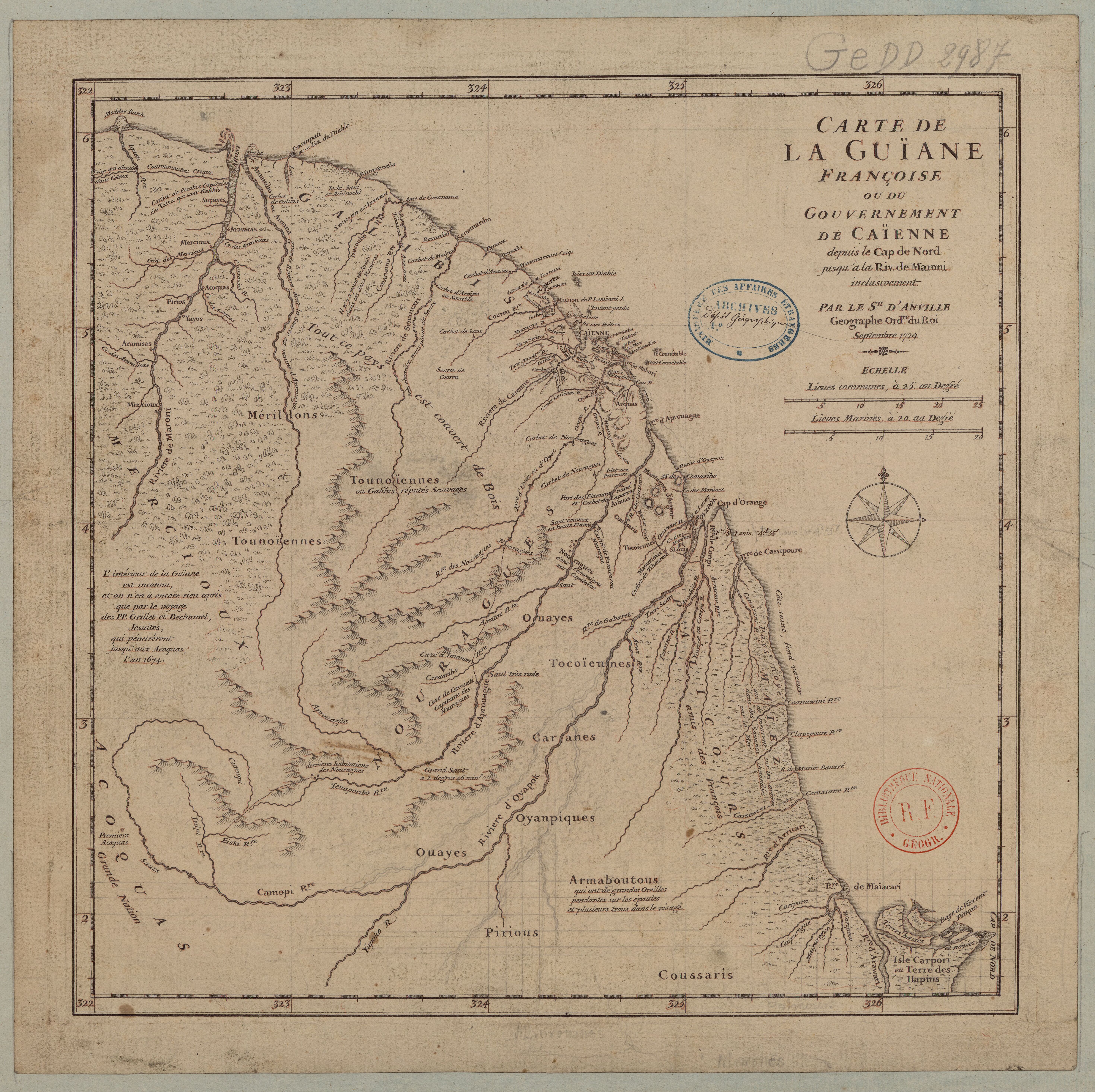
Carte de la Guïane françoise ou du gouvernement de Caïenne depuis le Cap de Nord jusqu'àla rivière de Maroni inclusivement.
Map 1729