
Peoples
- PIMAS ALTOS
- OPATAS
- SERIS
- PIMAS BAJOS
- YAQUIS
- MAYOS
Citation
Trejo Contreras, Zulema. "Indigenous People and Nation-State Building, 1840-1870." Frontera Norte 26, no. 51 2014: 5-24. http://www.scielo.org.mx/pdf/fn/v26n51/v26n51a1.pdf.
NOVA ET EXACTA DELINEATIO AMERICA
Map 1534
Croquis III. (a) Desarrollo Regional (500 a.C -750 d.C) e Integración (750-1530 a.C.)
Map -500 - 1530
Rutas de los conquistadores. Ubicacion de tribus primitivas. Primeras fundaciones.
Map 1500 - 1599
Santa Cruz
Map 1997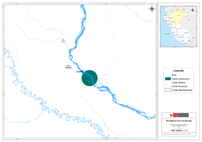
PUEBLO VACACOCHA
Map 2021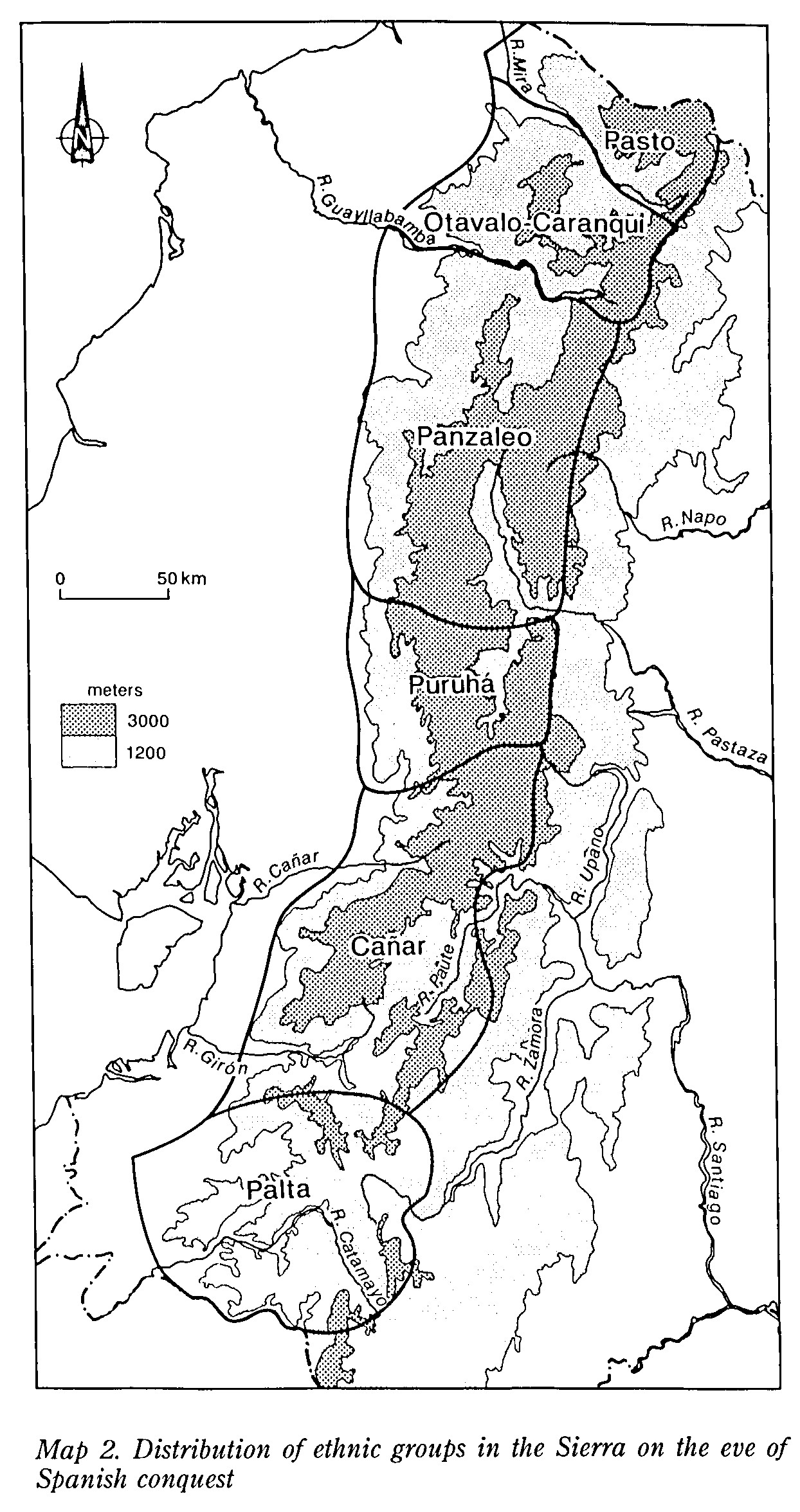
MAP 2. DISTRIBUTION OF ETHNIC GROUPS OF THE SIERRA ON THE EVE OF SPANISH CONQUEST
Map 1490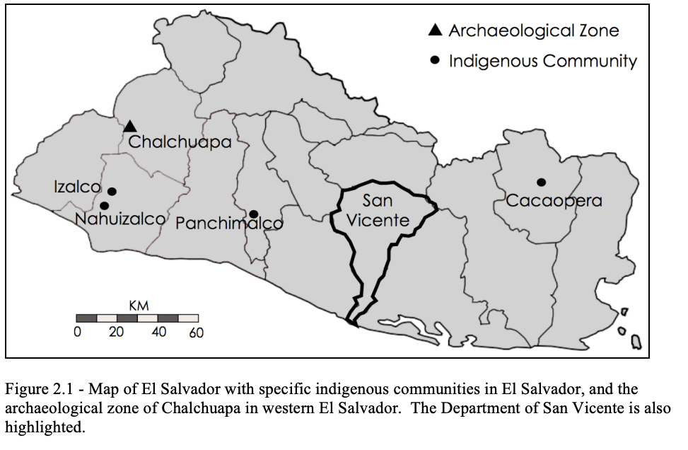
Map of El Salvador with Specific indigenous communities in El Salvador, and the archaeological zone of Chalchuapa in western El Salvador. The Department of San Vicente is also highlighted.
Map 2010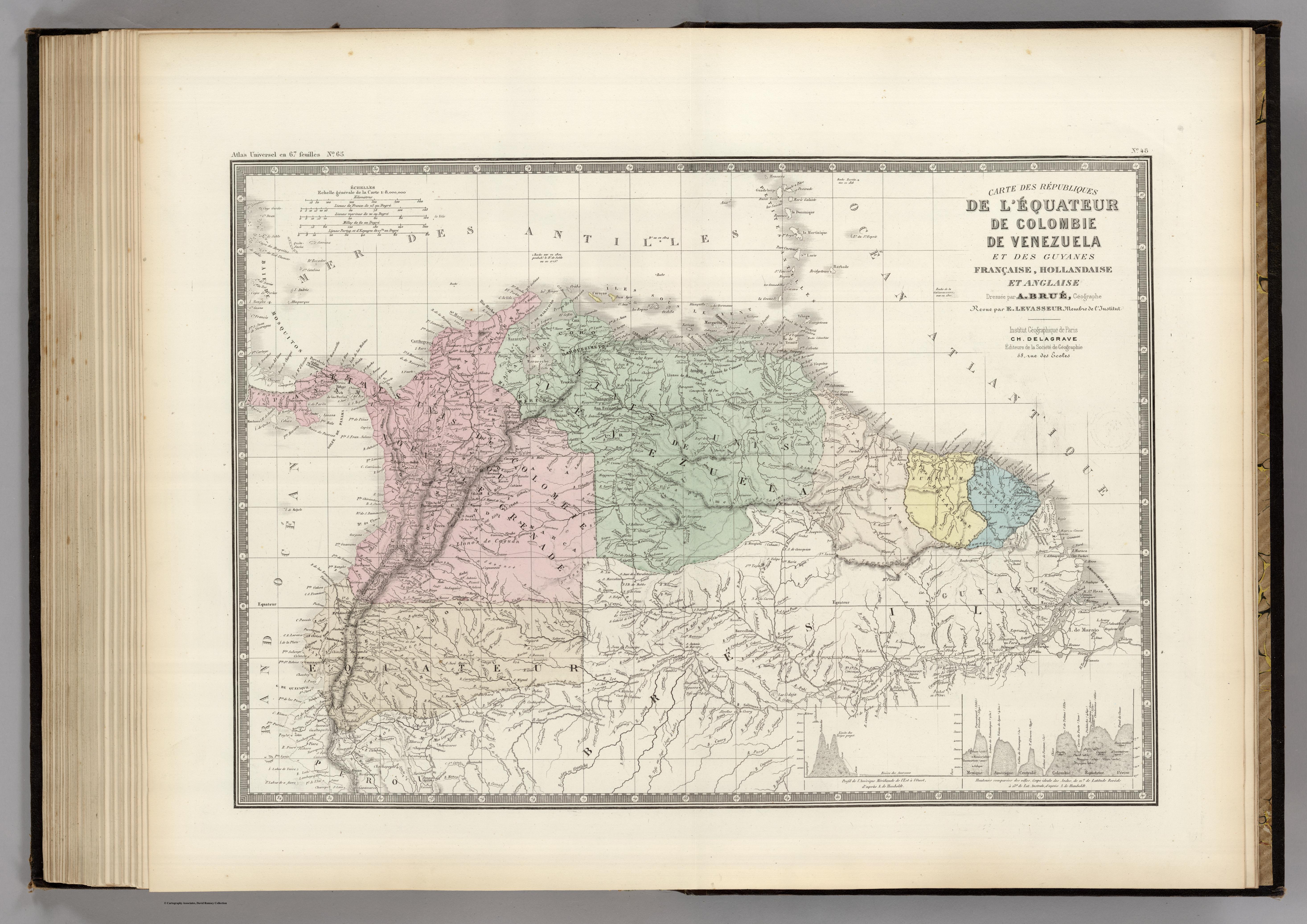
CARTE DES REPUBLIQUES DE L'EQUATEUR;DE COLOMBIE;DE VENEZUELA;ET GUYANES FRANCAISE;HOLLANDAISE;ET ANGLAISE
Map 1875