Peoples
- TRIPLE ALLIANCE
- MAYA
Citation
"Mexihco: The Mexihca Homeland." Infographic. Accessed May 4, 2021. https://lh3.googleusercontent.com/-CQEKE0h1Ntw/Tanbw5gY_PI/AAAAAAAAZdE/oji_KP6SFEc/s2048-Ic42/Mexica%252520Homeland.png.
Mapa general de la republica de Guatemala.
Map 1800
AMERICA KARATE VON LAUFE DES ORENOCO DES ATABAPO DES CASIQUIARE UND DES RIO NEGRO
Map 1850
TERRITORIO DEL SEÑORÍO AYMARA DE LOS KILLAKAS A PRINCIPIOS DEL SIGLO XVI
Map 1500 - 1530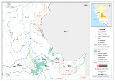
PUEBLO ASHENINKA
Map 2021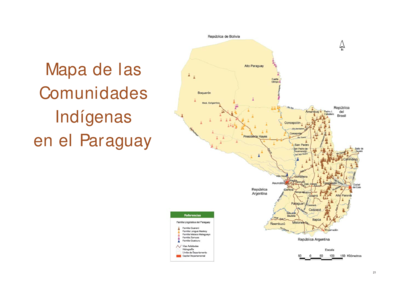
Mapa de las Comunidades Indígenas en el Paraguay
Map 2004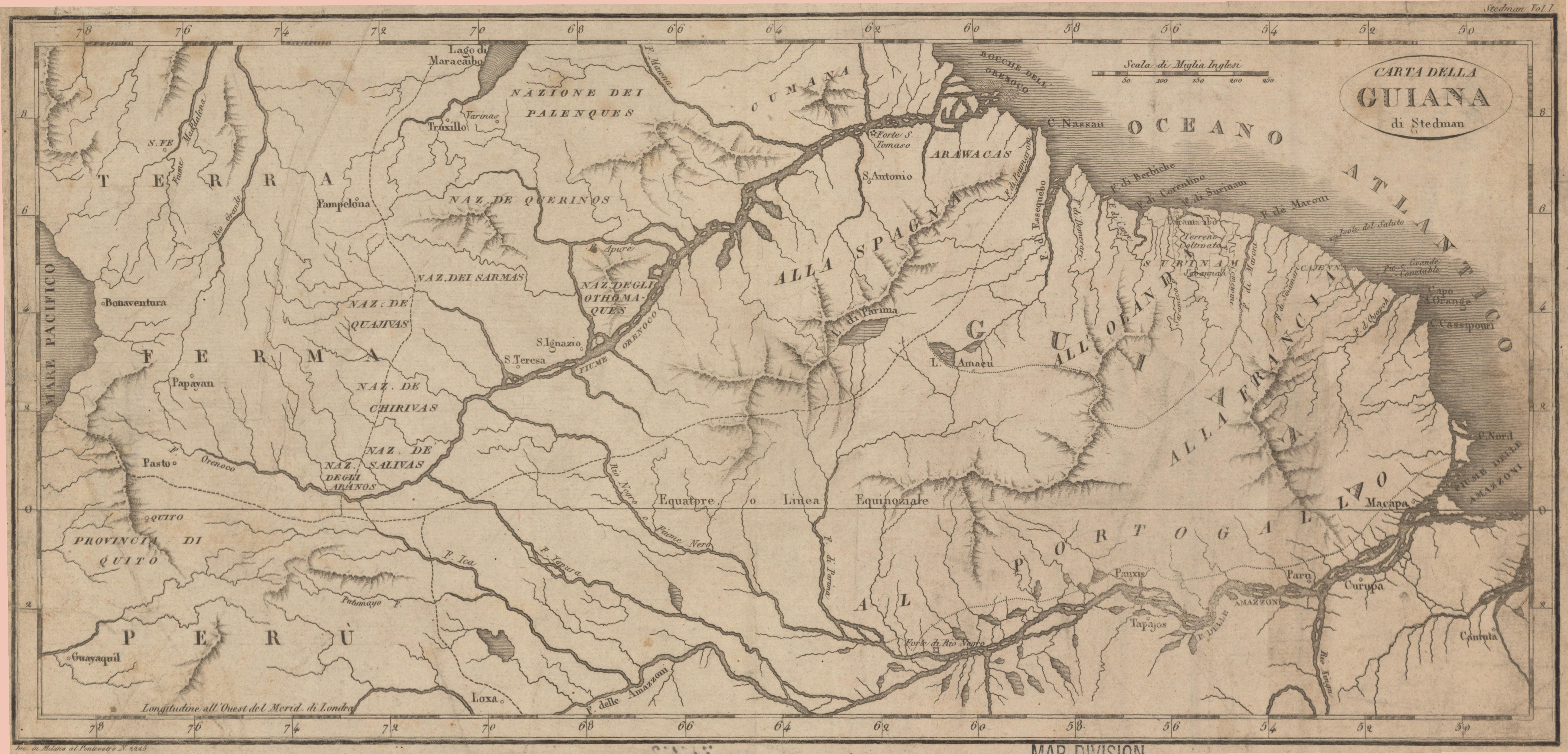
Carta della Guiana
Map 1700 - 1799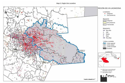
REGIÓN SELVA LACANDONA
Map 2000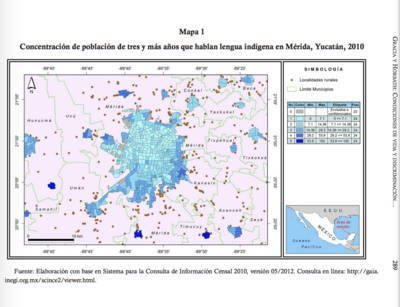
CONCENTRACIÓN DE POBLACION DE TRES Y MAS ANOS QUE HABLAN LENGUA INDÍGENA EN MÉRIDA, YUCATÁN, 2010
Map 2012