Peoples- MOSQUITOS
- SAMBOS
- PANAMACAS
- TOWACAS
- WOOLWAS
- CACKERAS
- RAMAS
- HICACAS
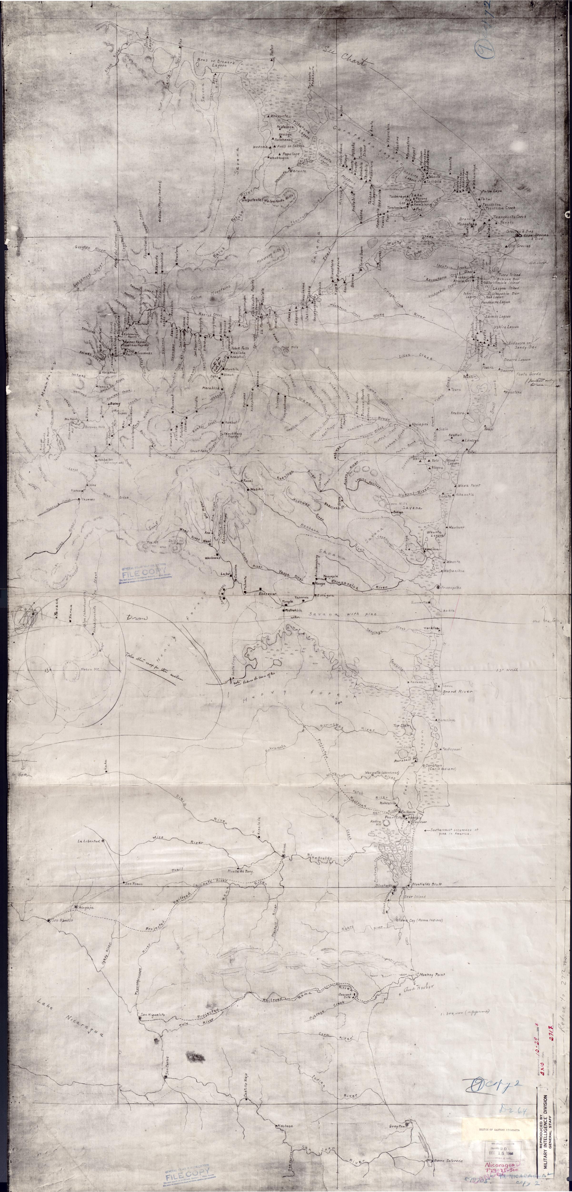
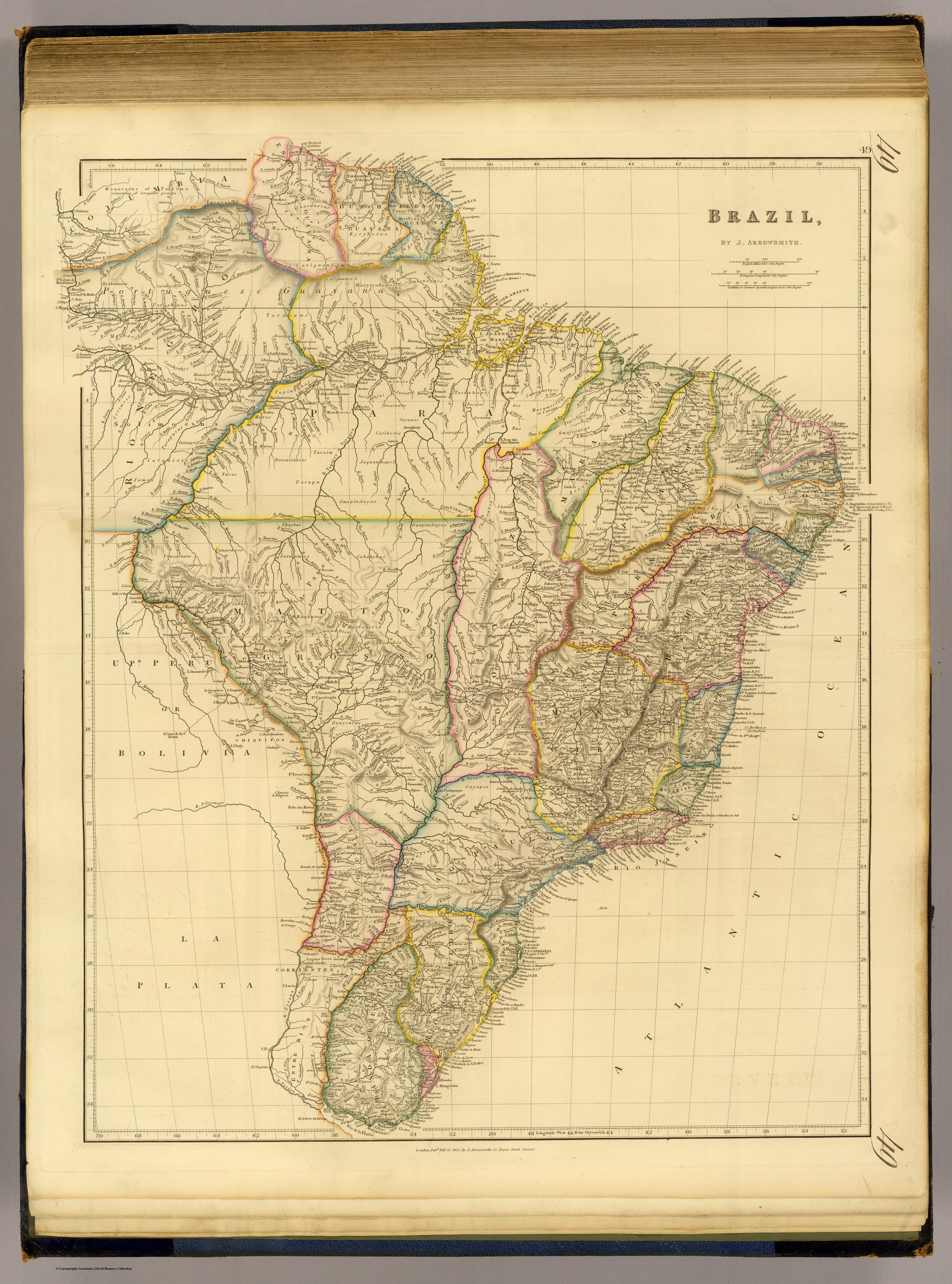
CitationFaden, William. "Mosquitia or The Mosquito Shore with The Eastern Part of Yucatan as far as the 20th Degree of North Latitude." Map. 1787. Accessed August 10, 2023. https://gallica.bnf.fr/ark:/12148/btv1b59707927/f1.item.r=Honduras.
Faden, William. "Mosquitia or The Mosquito Shore with The Eastern Part of Yucatan as far as the 20th Degree of North Latitude." Map. 1787. Accessed August 10, 2023. https://gallica.bnf.fr/ark:/12148/btv1b59707927/f1.item.r=Honduras.
![Carta ó Mapa Geográfico de una gran parte del Reino de N. E. [Nueva España], comprendido entre los 19 y 42 grados de latitud Septentrional y entre 249 y 289 grados de longitud del Meridiano de Tenerife, formado de orden del Exc[elentísi]mo S[eño]r B[eilí]o Fr[ey] D[o]n Ant[oni]o Maria Bucarely y Vrsúa p[ar]a indicar la division del Virreinato de México y de las Provincias internas erigidas en Comandancia General en virtud de Reales Órdenes el año 1770](https://dnet8ble6lm7w.cloudfront.net/maps_sm/MEX/MEX0190.png)