Peoples
- HICAQUES
- TOACAS
- SECOS
- PAYAS
- NEGROS
- ZAMBOS
- CARIBES
Citation
Girard, E. Mapa de Honduras. Map. Paris, France, 1929. Accessed August 10, 2023. https://gallica.bnf.fr/ark:/12148/btv1b53065318x.r=Honduras?rk=321890;0.
CHIAPAS
Map 2015
Carte de la Coste de Cayenne.
Map 1600 - 1699
Do Rio Turi ate a entrada do Grao Para
Map 1600 - 1640
Detail from the 1770 copy of Francisco Álvarez Barreiro’s 1728 map of northern New Spain illustrating Spanish mapping of Indian domains in southern Texas and along the Gulf Coast, especially through the repetition of labels: “tierra de los Pampopas,” “tierra de los Carrizos,” “tierra de los Cujanes,” etc.
Map 1728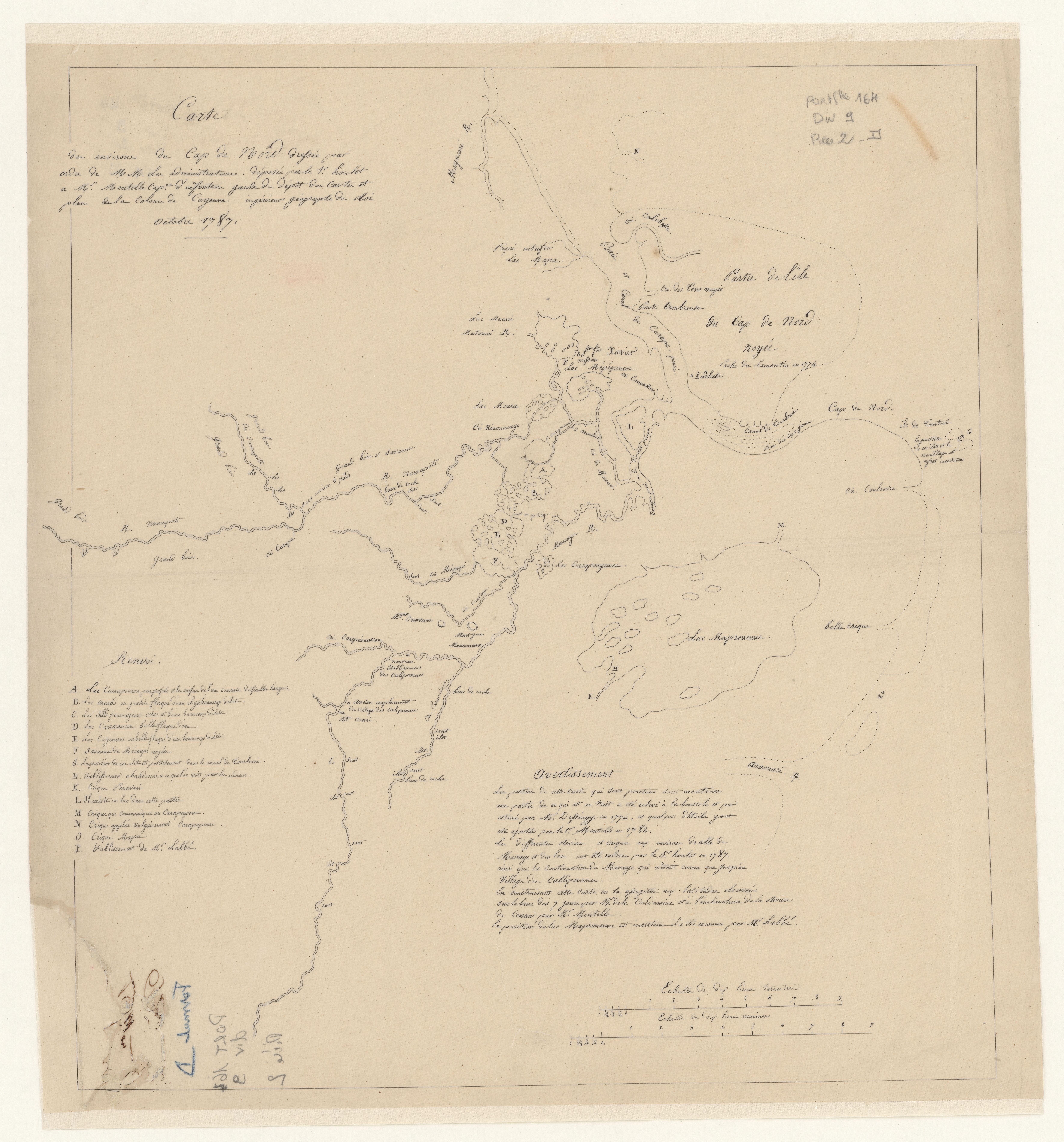
Carte des environs de Cap de Nord
Map 1774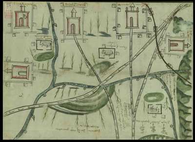
San Juan Baptista, San Luys Tezontla y Santa María Nochtongo. Oaxaca, 1579
Map 1579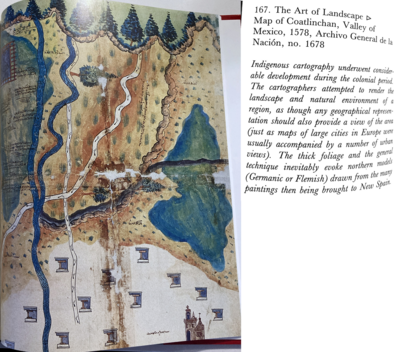
Map of Coatlinchan, Valley of Mexico, 1578, Archivo General de la Nación, no. 1678
Map 1578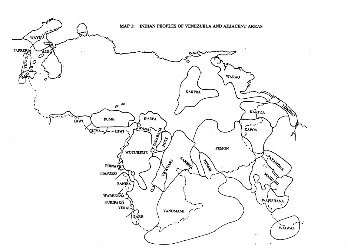
INDIAN PEOPLES OF VENEZUELA AND ADJACENT AREAS
Map 1995