Dispossesions in the Americas

Dispossesions in the Americas

  • Home
  • Explore
  • About
  • Authors
  • Art
  • Bodies
  • Curricula
  • Cultural Heritage
  • Maps
  • Territories
Back to Explore
Map 2001

The Tawahka: Most important municipios, 2001

  • WILLIAM DAVIDSON

Published: 2011

  • Download Image

Peoples

  • TAWAHKA

Citation

Davidson, William V. Ethnic Geography of Honduras, 2001: Tables and Maps based on the National Census. Memphis, TN, 2011. PDF. http://williamvdavidson.com/pdf/Ethnic-Geography-of-Honduras-2001-Davidson.pdf

  • Download Image

Reading in Spanish

Map 2001

The Tawahka: Most important municipios, 2001

  • WILLIAM DAVIDSON

Published: 2011

  • Download Image
  • Download Image

Related Content

Mano and Sutna territory compared with Lehtner's Jornada Mogotton territory

Mano and Sutna territory compared with Lehtner's Jornada Mogotton territory

Map 1997
Golden Stream

Golden Stream

Map 1997
Mapa De La Gobernación Del Paraguay Y Buenos Aires, Con La Línea  Divisoria De Las Tierras De España Y Portugal_1752.

Mapa De La Gobernación Del Paraguay Y Buenos Aires, Con La Línea Divisoria De Las Tierras De España Y Portugal_1752.

Map 1752
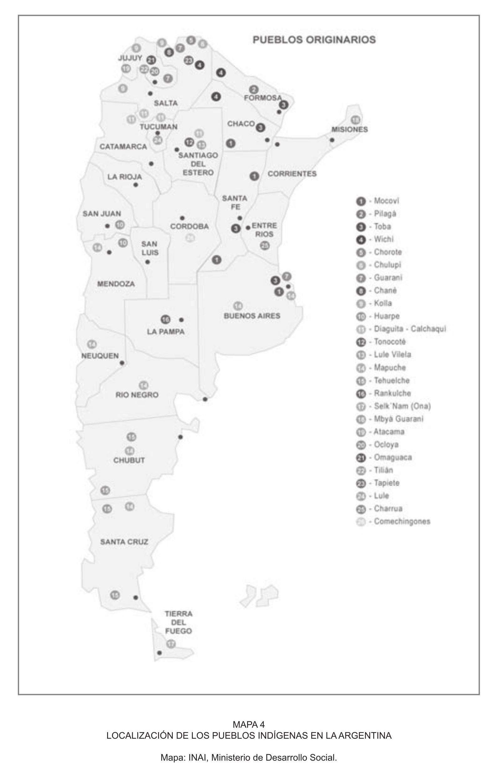
LOCALIZACIÓN DE LOS PUEBLOS INDÍGENAS EN LA ARGENTINA

LOCALIZACIÓN DE LOS PUEBLOS INDÍGENAS EN LA ARGENTINA

Map 2004
PART OF A MAP OF GUIIANA BY J.J. HARTSINCK

PART OF A MAP OF GUIIANA BY J.J. HARTSINCK

Map 1770
Map of Nicaragua showing departmental divisionsand projected routes of interoceanic communication.

Map of Nicaragua showing departmental divisionsand projected routes of interoceanic communication.

Map 1851
Distribución étnica en el siglo XVI

Distribución étnica en el siglo XVI

Map 1500 - 1599
XXXVI. Carte de la Guiane Francaise et Hollandaise. Dressée d'aprés les Cartes de N. Buache et de Simon Mentelle Capitaine d'Infanterie;Darde du Dépôt des Cartes et Plans de la Colonie de Cayenne.

XXXVI. Carte de la Guiane Francaise et Hollandaise. Dressée d'aprés les Cartes de N. Buache et de Simon Mentelle Capitaine d'Infanterie;Darde du Dépôt des Cartes et Plans de la Colonie de Cayenne.

Map 1800 - 1899

Dispossessions in the Americas

A project by

University of Pennsylvania

Copyright 2024

With support from

Mellon Foundation

Site design & development

Element 84

Art Credits

Davidson, William V. Ethnic Geography of Honduras, 2001: Tables and Maps based on the National Census. Memphis, TN, 2011. PDF. http://williamvdavidson.com/pdf/Ethnic-Geography-of-Honduras-2001-Davidson.pdf
Site Pages

  • Home
  • Explore
  • About
  • Authors
  • Art
  • Bodies
  • Curricula
  • Cultural Heritage
  • Maps
  • Territories