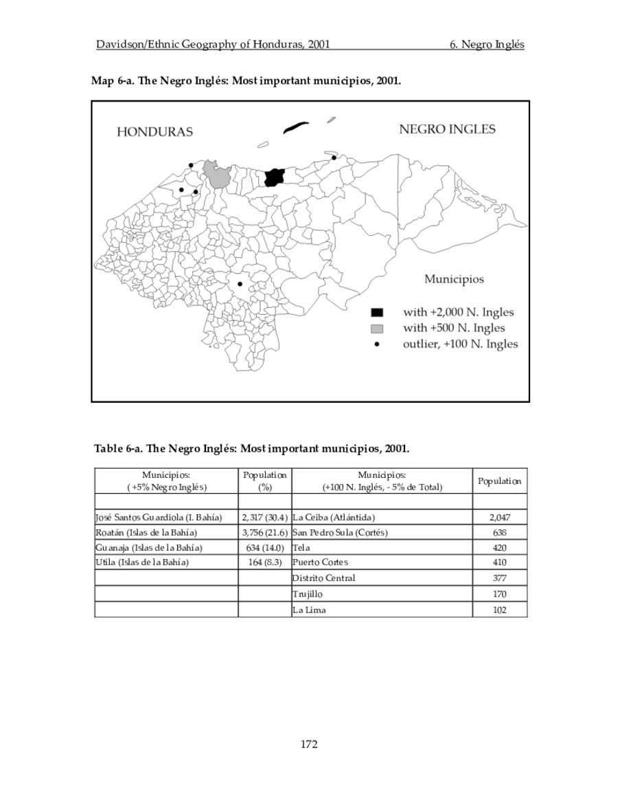
Peoples
- NEGRO INGLES
Citation
Davidson, William V. Ethnic Geography of Honduras, 2001: Tables and Maps based on the National Census. Memphis, TN, 2011. PDF. http://williamvdavidson.com/pdf/Ethnic-Geography-of-Honduras-2001-Davidson.pdf
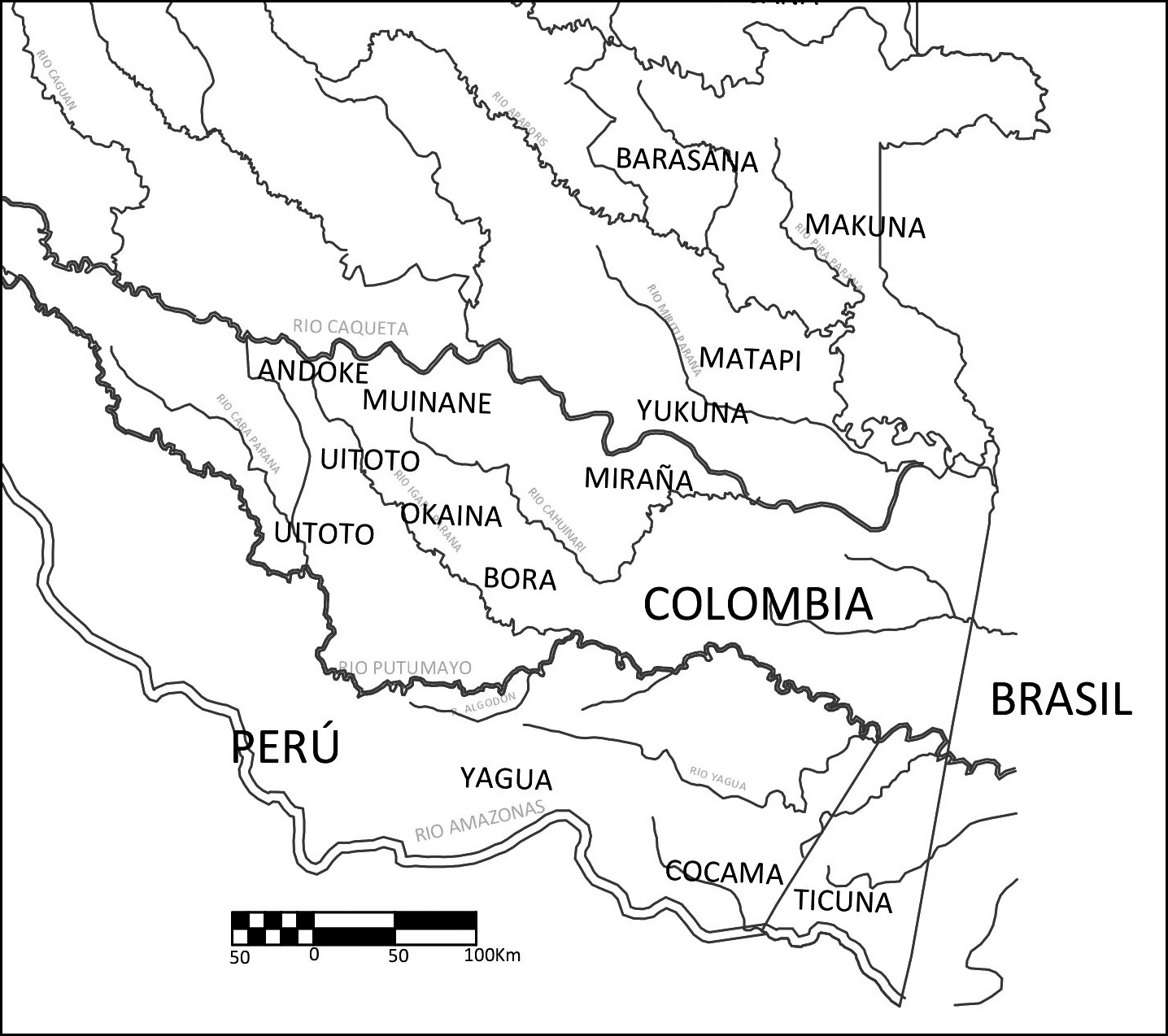
Figura 1 – Mapa de la zona de studio
Map 2005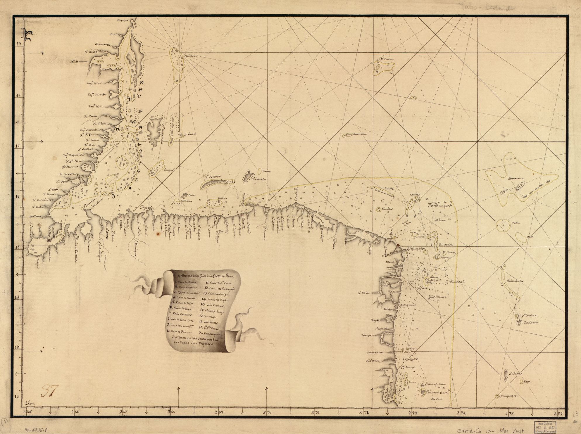
Map showing Caribbean coast of Central America from Belize to Nicaragua.
Map 1700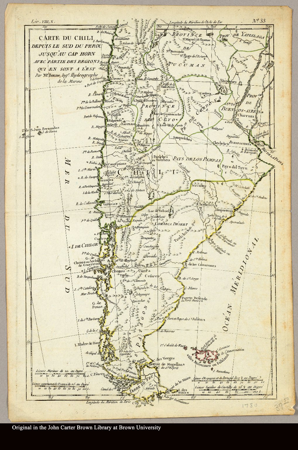
Carte du Chili depuis le sud du Perou jusqu'au Cap Horn ... par Mr. Bonne, Ingr. Hydrographe de la Marine.
Map 1780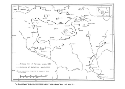
Area of Tarascan Speech about 1850
Map 1850
Detail from the 1770 copy of Francisco Álvarez Barreiro’s 1728 map of northern New Spain illustrating Spanish mapping of Indian domains in southern Texas and along the Gulf Coast, especially through the repetition of labels: “tierra de los Pampopas,” “tierra de los Carrizos,” “tierra de los Cujanes,” etc.
Map 1728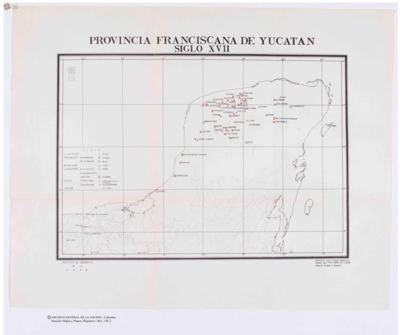
Provincia Franciscana de Yucatán
Map 1600 - 1699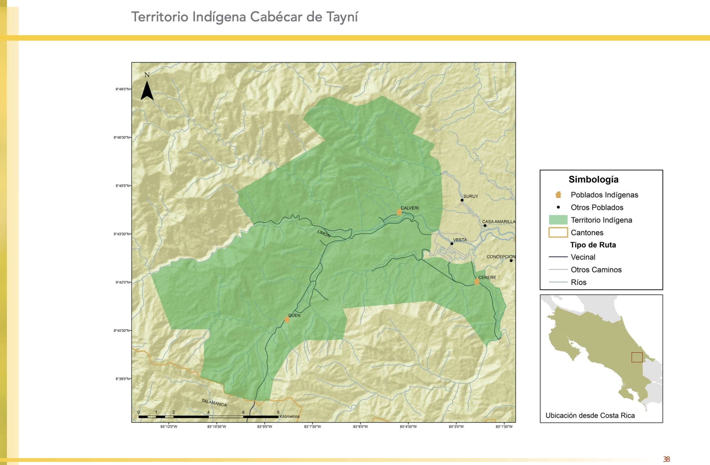
"Territorio Indígena Cabécar de Tayní"
Map 2010![Paisaje [Landscape]](https://dnet8ble6lm7w.cloudfront.net/art_sm/APER022.png)
Paisaje [Landscape]
Artwork