Citation
"Mapa de la República de Guatemala" Herman Au, 1875. From the Map Library, University of Pennsylvania
Carte d'une partie de la Riviere de Marony qui separe la Guïanne Françoise des Hollandois Levée depuis son embouchure, Jusqu'au premier Sault.
Map 1700 - 1799![El lugar de los espíritus [The Place of the Spirits]](https://dnet8ble6lm7w.cloudfront.net/art_sm/APER084-0.png)
El lugar de los espíritus [The Place of the Spirits]
Artwork
Paraguariæ Provinciæ soc. jesu cum adiacentibg. novissima descriptio : post iteratas peregrinationes & plures observationes patrum missionariorum eiusdem soc. tum huius provinciæ;cum & Peruanæ accuratissime delineata & emendata ann. 1732
Map 1732
Guatemala, from official and other sources.
Map 1900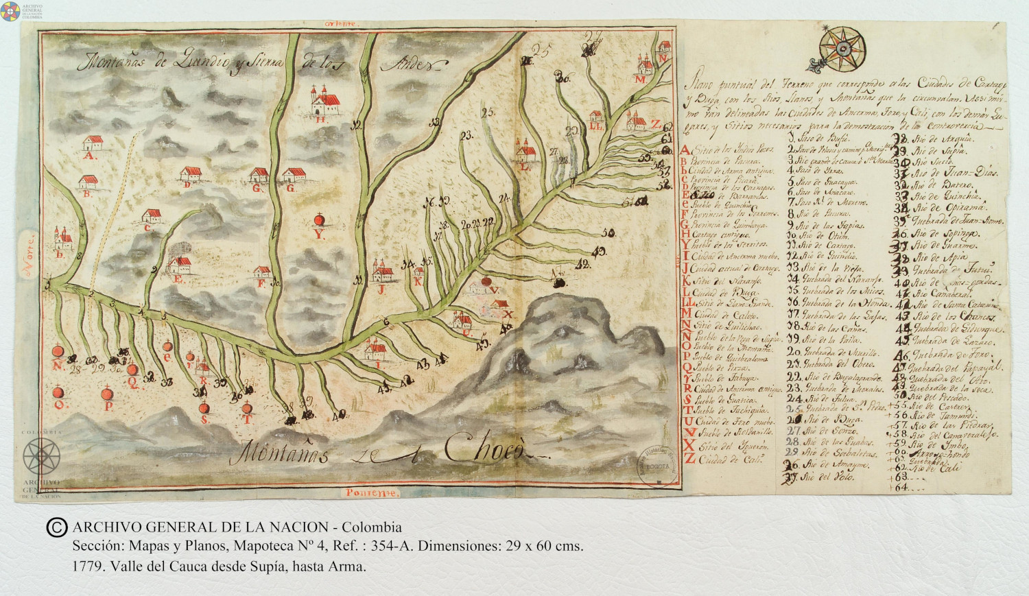
Plano puntual del terreno que corresponde a las ciudades de Cartago y Buga con los rios, llanos, y montañas que las circunvalan.
Map 1779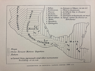
DISTRIBUTION OF PRINCIPAL NATIONS BEFORE 1000 AD
Map 1000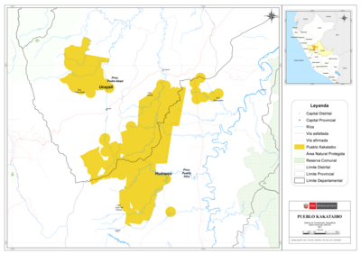
PUEBLO KAKATAIBO
Map 2021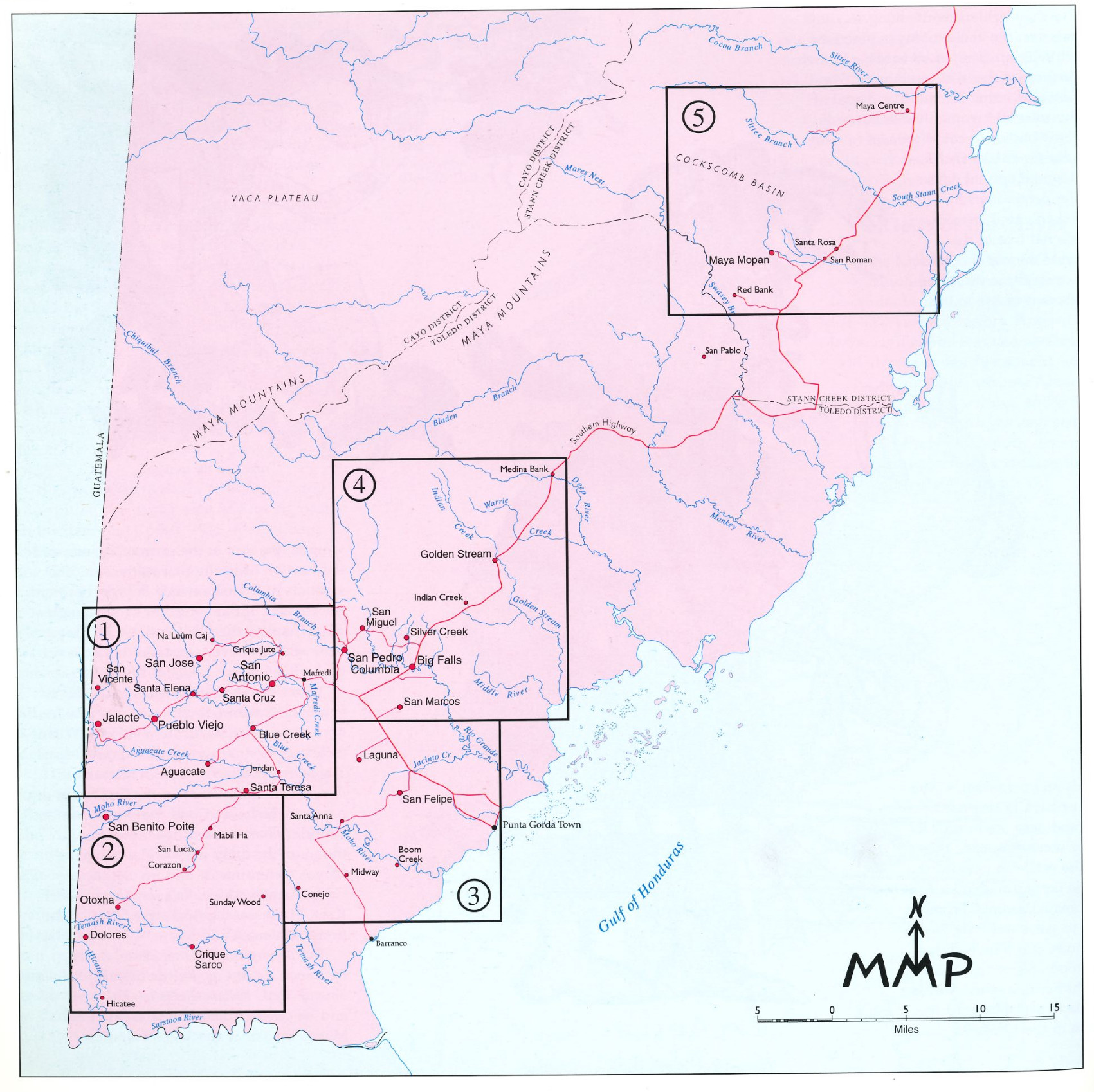
Village Groupings
Map 1997