Citation
"Population of Tontonicapan 1778" IN Historical Atlas of Central America by Carolyn Hall and Héctor Pérez Brignoli. PG. 89. University of Oklhoma Press, 2005.
REPÚBLICA BOLIVARIANA DE VENEZUELA PUEBLOS Y COMUNIDADES INDÍGENAS
Map 2004
LOCALIZACIÓN DE LOS PUEBLOS INDÍGENAS EN LA ARGENTINA
Map 2004
Carte de la Moskitie oú se fonde la Neustrie
Map 1830
MAPA DE LAS MISSIONES DE LA COMPANIA DE JESVS EN
Map 1749
Plano de los rios Napo y Putumayo / levantado por orden del señor prefecto del departemento coronel d. Pedro Portillo en vista de los últimos datos mas minuciosos y exactos adquiridos hasta la fecha
Map 1903
Deux gravures pour un éventail. carte du lac Nicaragua et carte de l'Amérique du Nord avec le Pacifique;pour soutenir le projet de Martin de la Bastide en favour du percement du Canal Nicaragua
Map 1800 - 1803
Govierno de Venezuela;1758.
Map 1758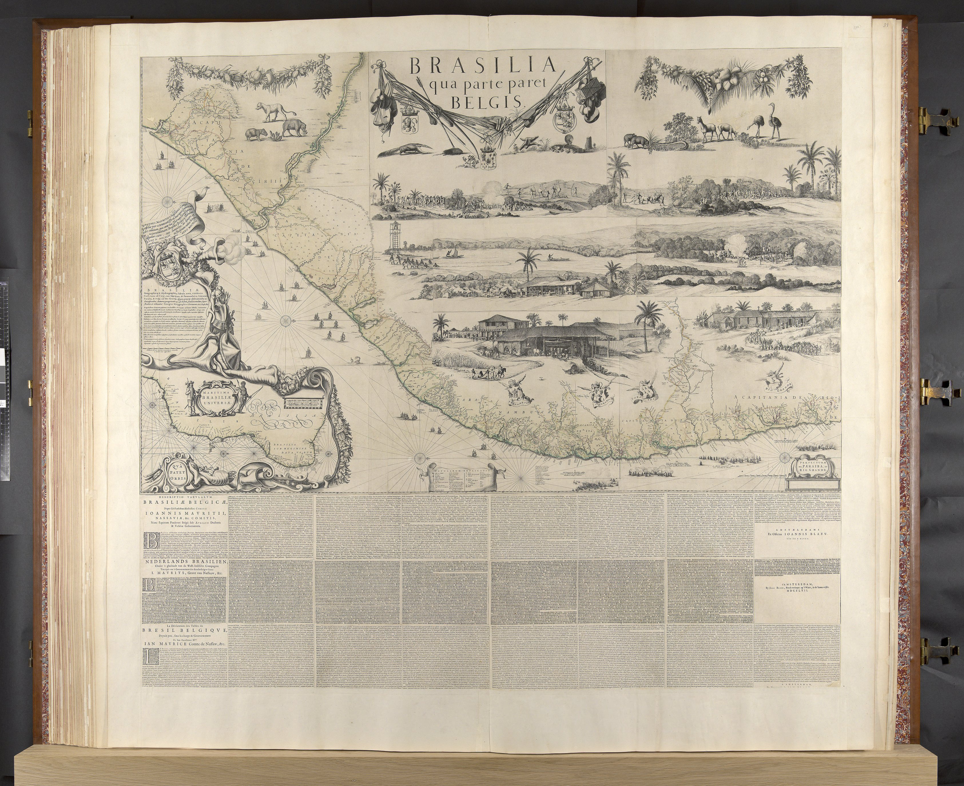
BRASILIA qua parte paret BELGIS
Map 1644