Citation
Map of the Republic of Guatemala. Mueller, A.H. Philadelphia, 1895. Library of Congress Geography and Map Division Washington, DC. G4811.F2 1895 .M8 . http://hdl.loc.gov/loc.gmd/g4811f.ct002031
TERRITORIO DE YUKPA DE IROKA
Map 2018
Cayenne représentée exactement dans toutes ses rivières, criques et habitations et ses dehors
Map 1717
The Caribee Islands and Guyana.
Map 1700 - 1799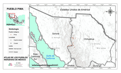
PUEBLO PIMA
Map 2020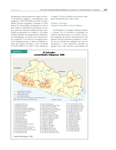
El Salvador: comunidades indígenas. 2000
Map 2000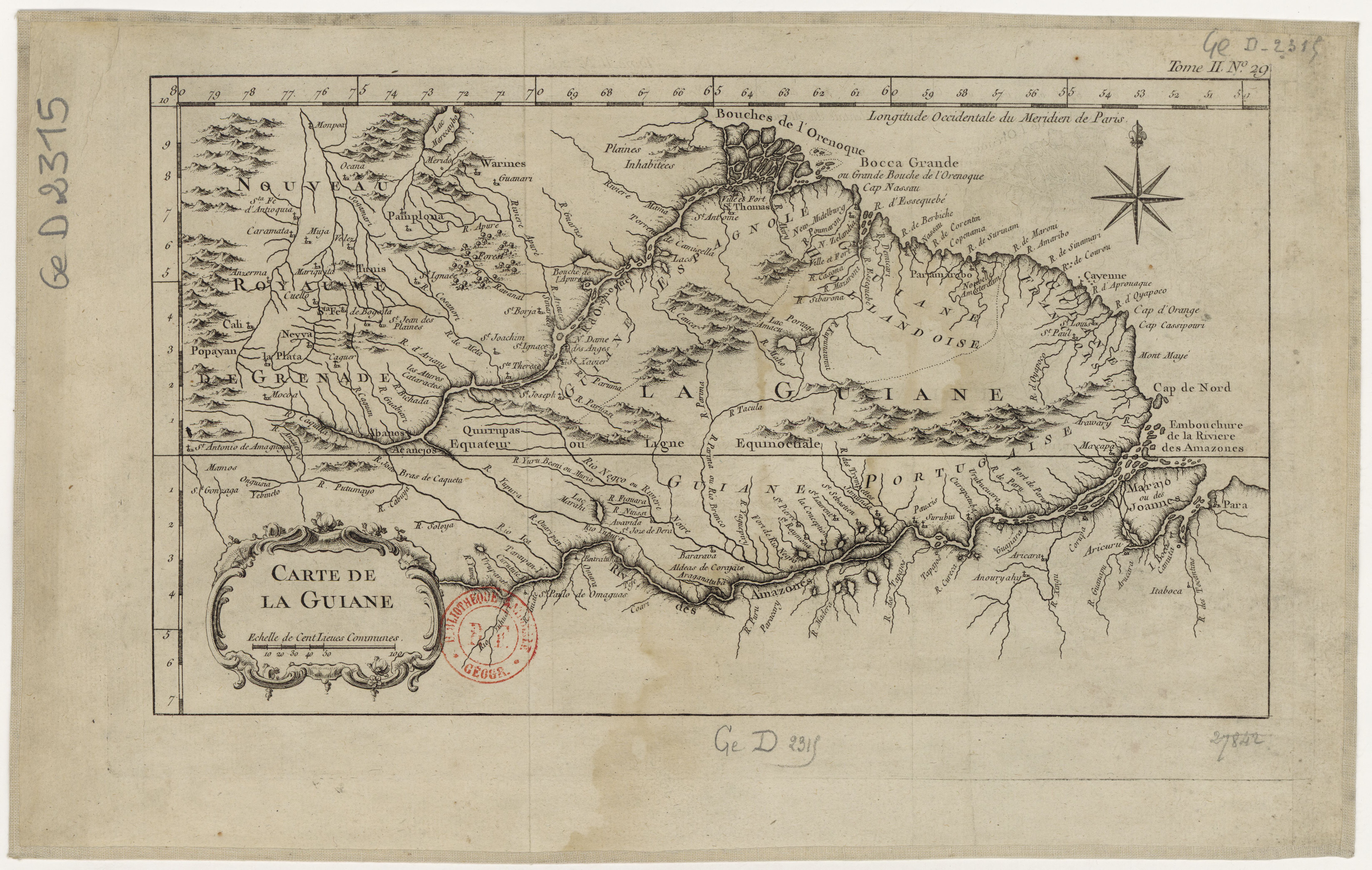
Carte de la Guiane
Map 1700 - 1799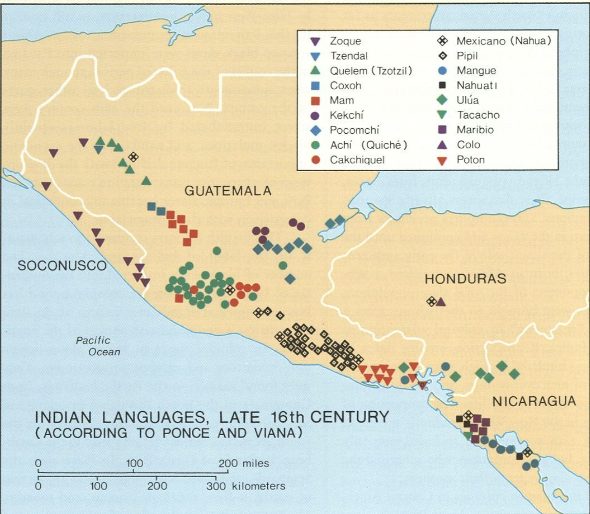
Indian Languages, Late 16th Century, (According to Ponce and Viana).
Map 1500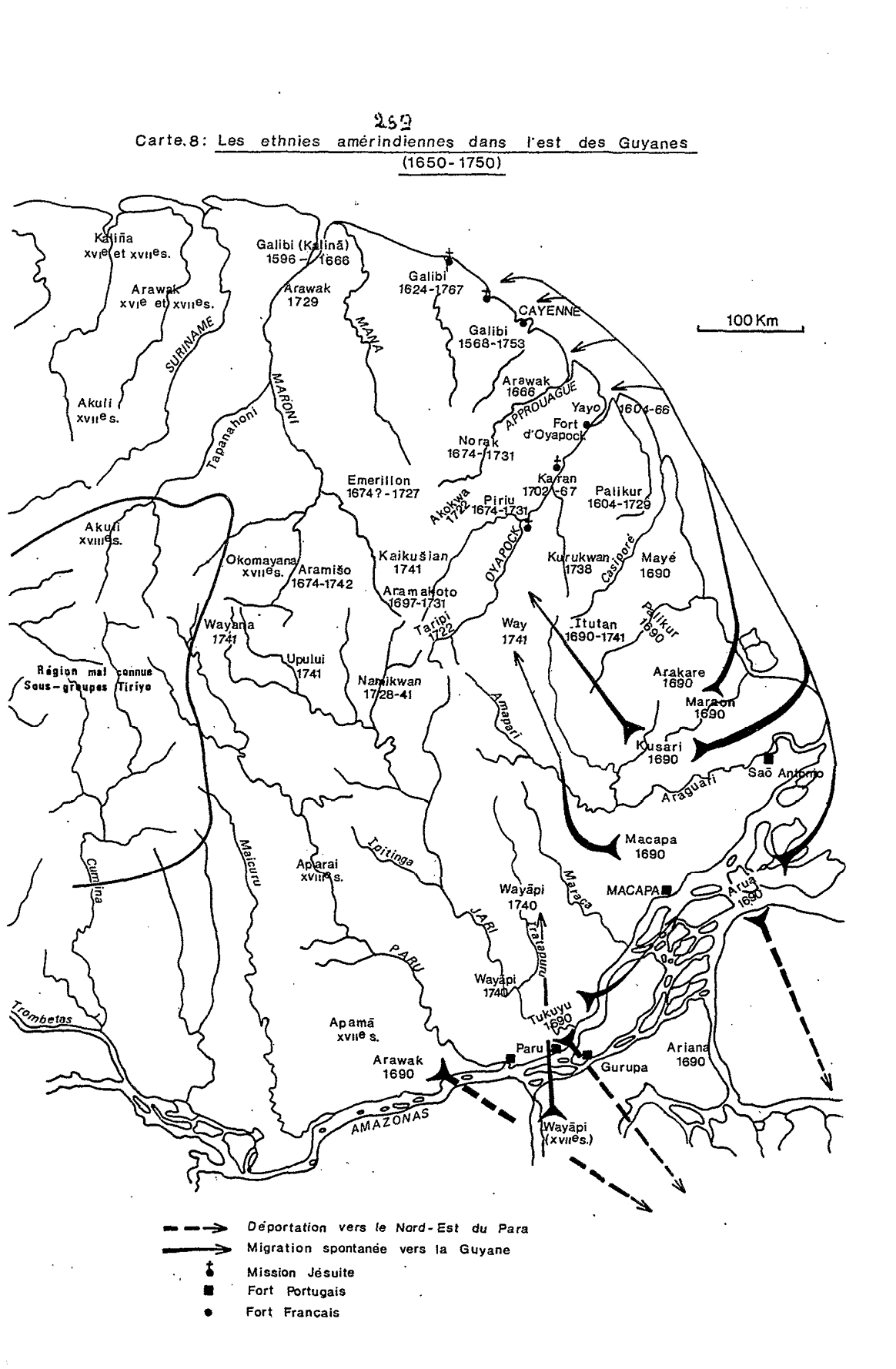
Carte 8: Les ethnies amérindiennes dans l'est des Guyanes (1650-1750)
Map 1650 - 1750