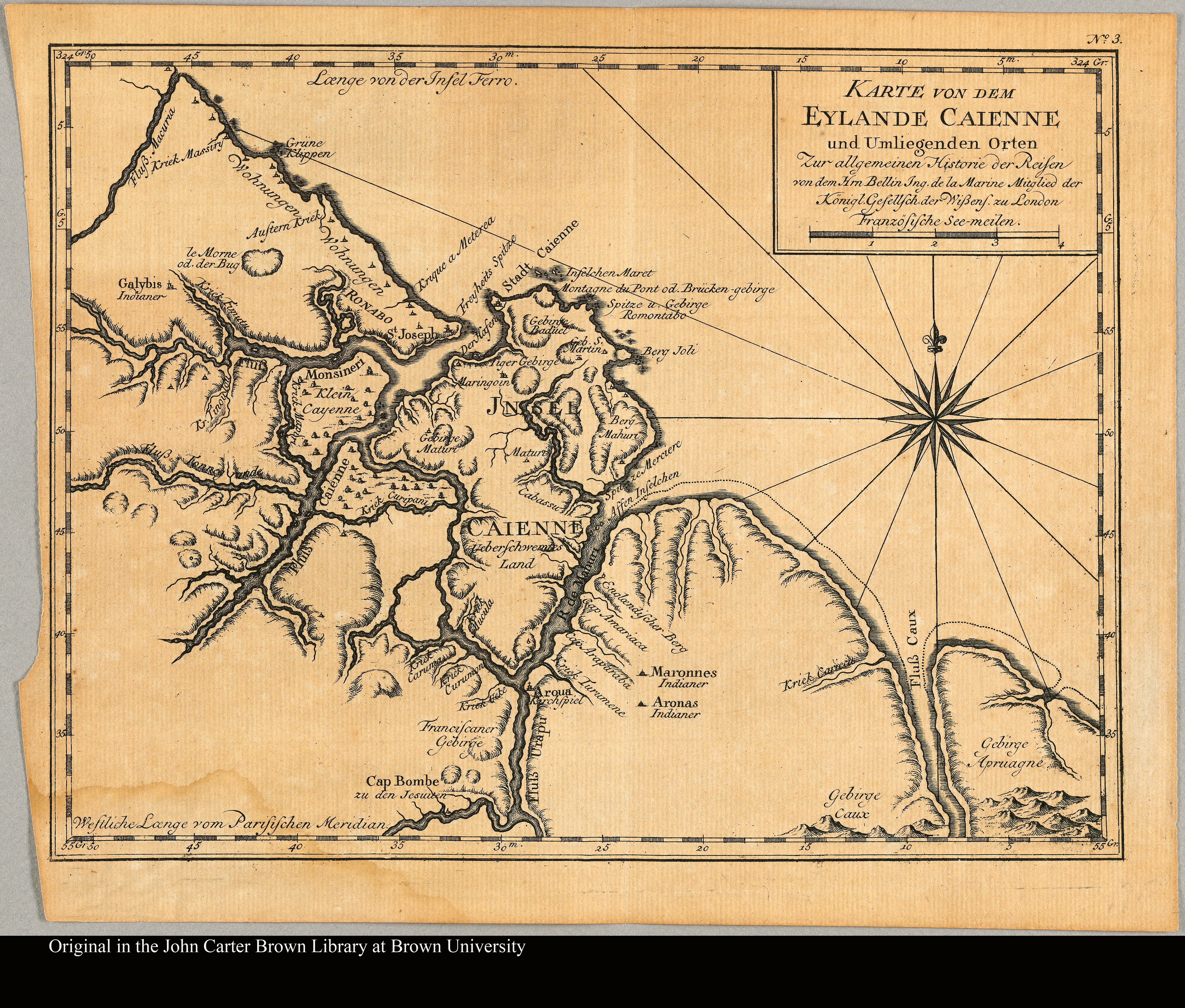
Dispossesions in the Americas

Dispossesions in the Americas

  • Home
  • Explore
  • About
  • Authors
  • Art
  • Bodies
  • Curricula
  • Cultural Heritage
  • Maps
  • Territories
Back to Explore
Map 1757

Karte von dem Eylande Caienne und Umliegenden Orten Zur allgemeinen Histoire der Reisen

    Published: 1757

    • Download Image

    Peoples

    • AROUA
    • ARONAS
    • GALYBIS
    • MARONNES

    Citation

    Karte von dem Eylande Caienne und Umliegenden Orten Zur allgemeinen Histoire der Reisen. The JCB Library. Accessed, August 15, 2023. https://jcb.lunaimaging.com/luna/servlet/detail/JCBMAPS~1~1~2668~101177

    • Download Image

    Reading in Spanish

    Map 1757

    Karte von dem Eylande Caienne und Umliegenden Orten Zur allgemeinen Histoire der Reisen

      Published: 1757

      • Download Image
      • Download Image

      Reading in Portuguese

      Map 1757

      Karte von dem Eylande Caienne und Umliegenden Orten Zur allgemeinen Histoire der Reisen

        Published: 1757

        • Download Image

        Peoples

        • AROUA
        • ARONAS
        • GALYBIS
        • MARONNES

        Citation

        Karte von dem Eylande Caienne und Umliegenden Orten Zur allgemeinen Histoire der Reisen. The JCB Library. Accessed, August 15, 2023. https://jcb.lunaimaging.com/luna/servlet/detail/JCBMAPS~1~1~2668~101177

        • Download Image

        Related Content

        Spanish Language Distribution in Late Colonial Period

        Spanish Language Distribution in Late Colonial Period

        Map 1600 - 1699
        Plano del pueblo de Nuestra Señora de Altagracia y del reparto de tierras a los indios, con vista de Cumaná y de la fortaleza de Araya.

        Plano del pueblo de Nuestra Señora de Altagracia y del reparto de tierras a los indios, con vista de Cumaná y de la fortaleza de Araya.

        Map 1704
        Croquis III. (a) Desarrollo Regional (500 a.C -750 d.C) e Integración (750-1530 a.C.)

        Croquis III. (a) Desarrollo Regional (500 a.C -750 d.C) e Integración (750-1530 a.C.)

        Map -500 - 1530
        Mapa que comprehende las Misiones de Moxos y Chiquitos.

        Mapa que comprehende las Misiones de Moxos y Chiquitos.

        Map 1763 - 1766
        Saweto

        Saweto

        Artwork
        Mexico at the time of the conquest (1519), showing the extent of the Culhua Mexica (Aztec Empire) and of the Maya holdings

        Mexico at the time of the conquest (1519), showing the extent of the Culhua Mexica (Aztec Empire) and of the Maya holdings

        Map 1519
        No Title

        No Title

        Map 2015
        PUEBLO NAHUA DE HIDALGO

        PUEBLO NAHUA DE HIDALGO

        Map 2020

        Dispossessions in the Americas

        A project by

        University of Pennsylvania

        Copyright 2024

        With support from

        Mellon Foundation

        Site design & development

        Element 84

        Art Credits

        Karte von dem Eylande Caienne und Umliegenden Orten Zur allgemeinen Histoire der Reisen. The JCB Library. Accessed, August 15, 2023. https://jcb.lunaimaging.com/luna/servlet/detail/JCBMAPS~1~1~2668~101177

        Site Pages

        • Home
        • Explore
        • About
        • Authors
        • Art
        • Bodies
        • Curricula
        • Cultural Heritage
        • Maps
        • Territories