Peoples
- ACOQUAS
- AMICOUANES
- MAYEZ
- PAPOUROUIS
- PIRIOUS
- POLICOURS
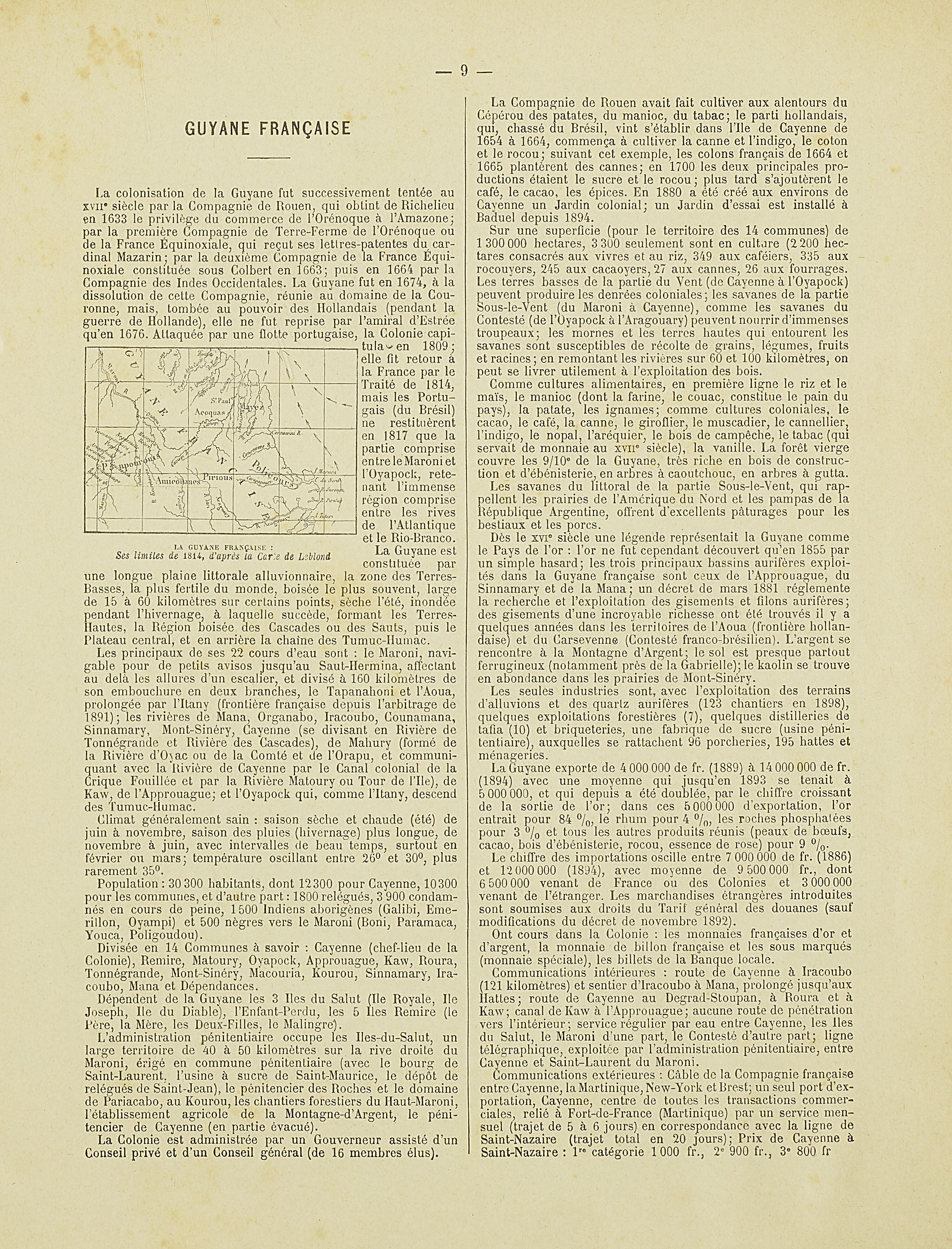
Citation
Nouvel Atlas colonial. Gallica. Last modified: May 24, 2020. Accessed, August 1, 2023. https://gallica.bnf.fr/ark:/12148/bpt6k1100234w/f10.item
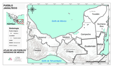
PUEBLO JAKALTECO
Map 2020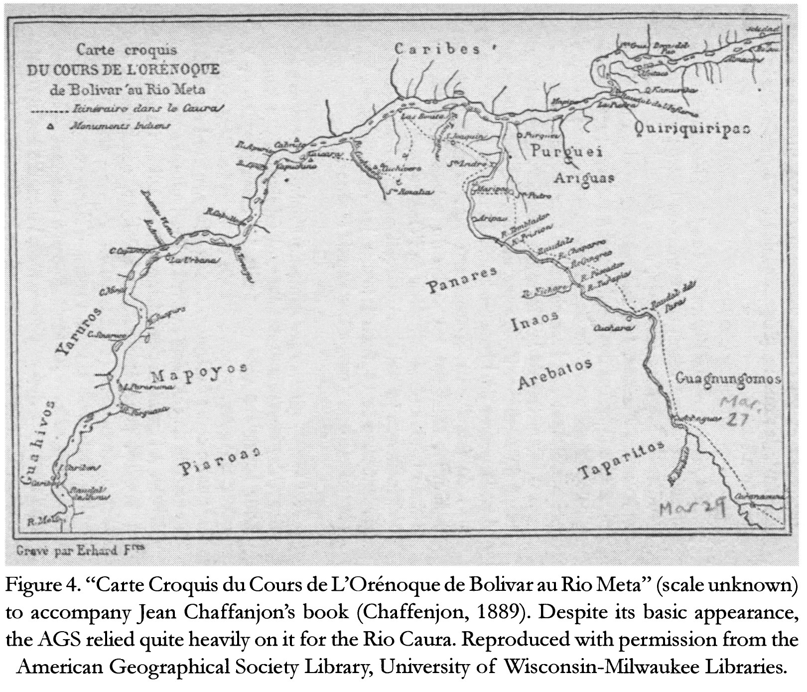
Carte Croquis DU COURS DE L'ORÉNOQUE de Bolivar àu Rio Meta
Map 1884![Mapa de lo principal de la Provincia de NIC;su Laguna;y desagüe de ella;por el Río de San Juan;Poblasones [sic] de los enemigos Zambos e yngleses en Puntagorda y Mosquitos;y las costas y parajes;adonde hacen daños y prezas](https://dnet8ble6lm7w.cloudfront.net/maps/CNT/CNT0103.jpg)
Mapa de lo principal de la Provincia de NIC;su Laguna;y desagüe de ella;por el Río de San Juan;Poblasones [sic] de los enemigos Zambos e yngleses en Puntagorda y Mosquitos;y las costas y parajes;adonde hacen daños y prezas
Map 1716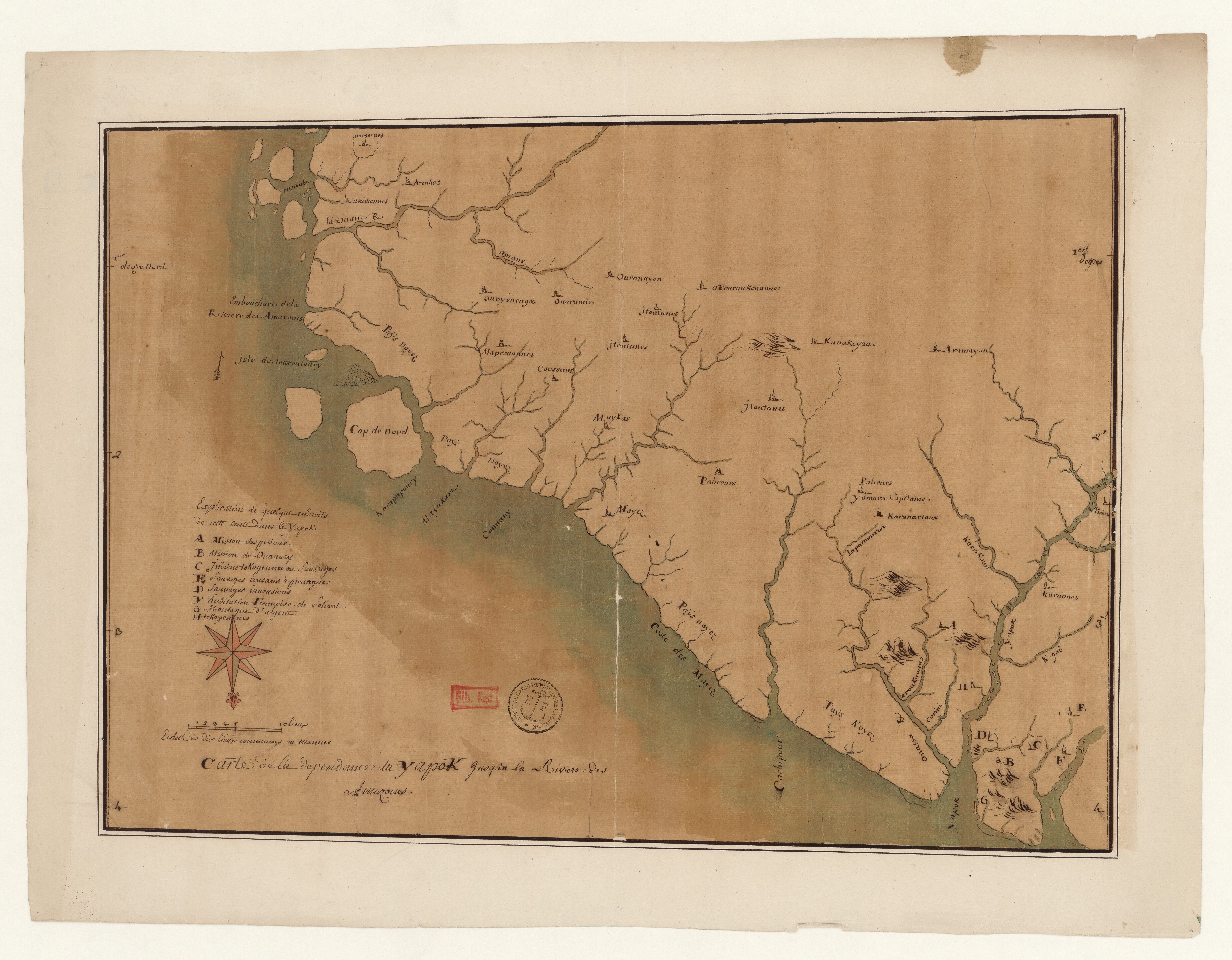
Carte de la dépendance du Yapok jusqu'à la rivière des Amazones.
Map 1600 - 1699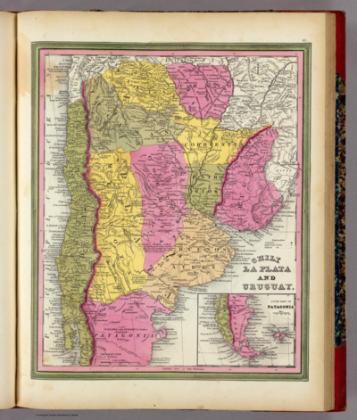
CHILE LA PLATA AND URUGUAY
Map 1836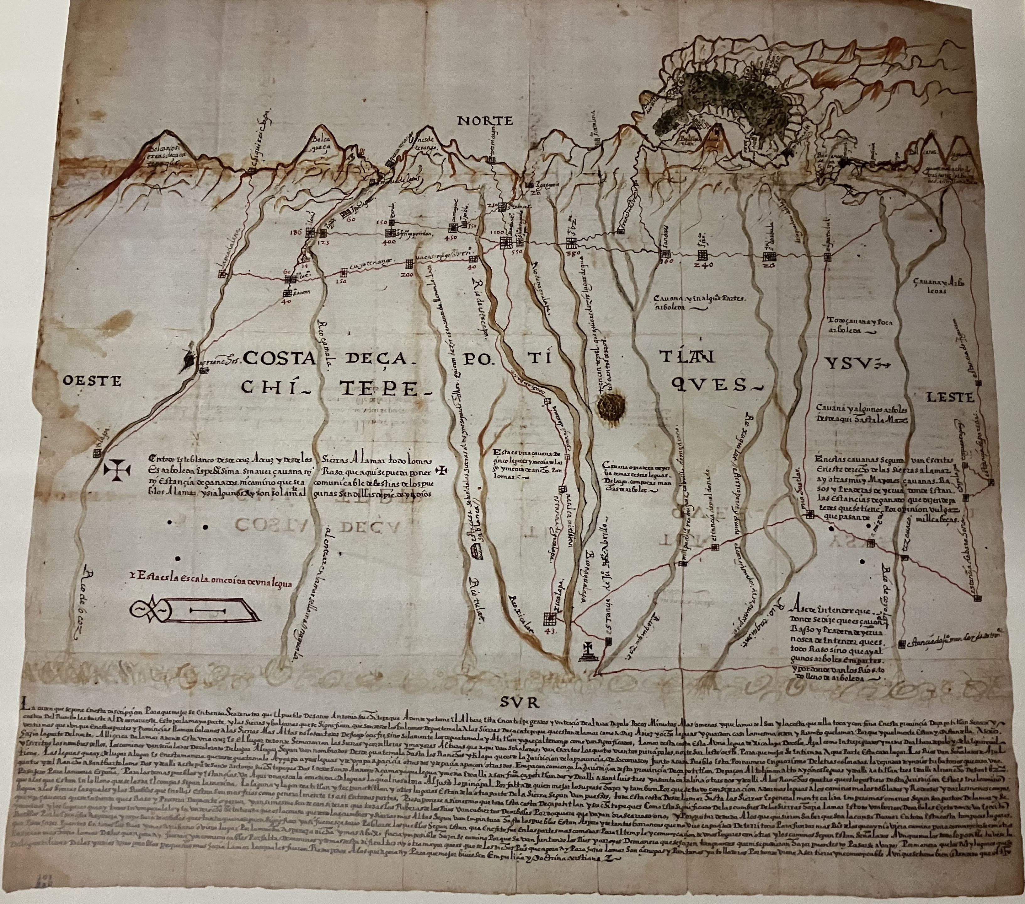
Relación Geográfica de Zapotitlán
Map 1579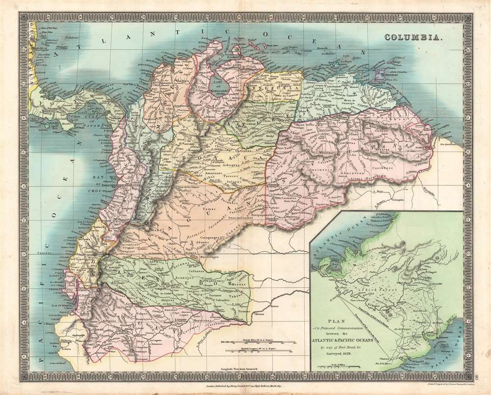
COLUMBIA
Map 1829
Outlines of the physical and political division of South America: Delineated by A. Arrowsmith partly from scarce and original documents, published before the year 1806 but principally from manuscript maps & surveys made between the years 1771 and 1806, corrected from accurate astronomical observations to 1810.
Map 1800 - 1899