Citation
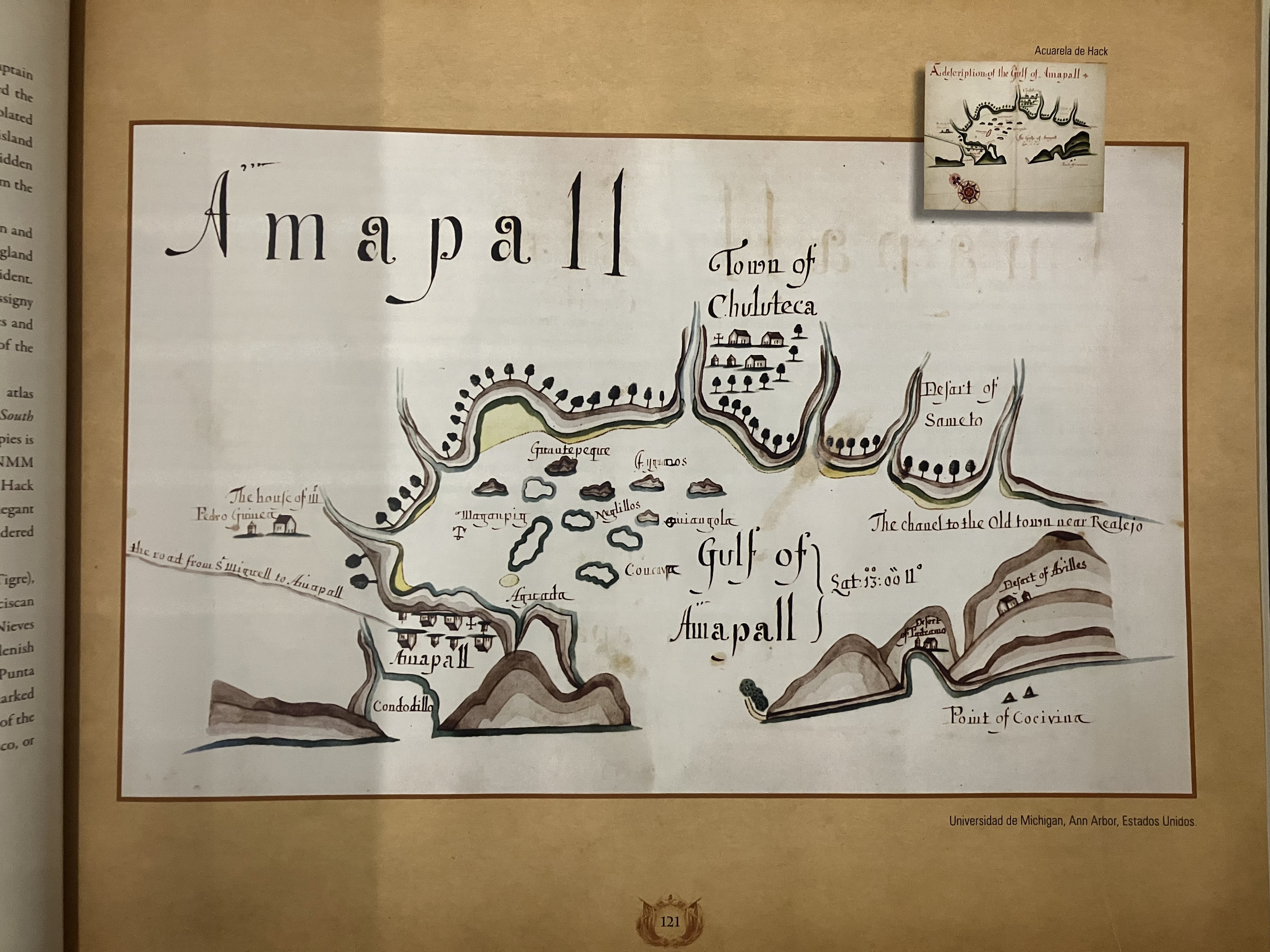
Hack, William. "Gulf of Amapall" in A Wagoner of the South Sea describing the sea coast from Acapulco to Albernarle Isle."1683-1685. National Maritime Museum, Greenwich UK Ms Atlas P/33. IN Atlas Historico y Cartografico de El Salvador 1529-1909. Centro de Nacional de Registros.
![Sobre os vínculos invisíveis [On the Invisible Bonds]](https://dnet8ble6lm7w.cloudfront.net/art_sm/ABRA035-0.png)