Dispossesions in the Americas

Dispossesions in the Americas

  • Home
  • Explore
  • About
  • Authors
  • Art
  • Bodies
  • Curricula
  • Cultural Heritage
  • Maps
  • Territories
Back to Explore
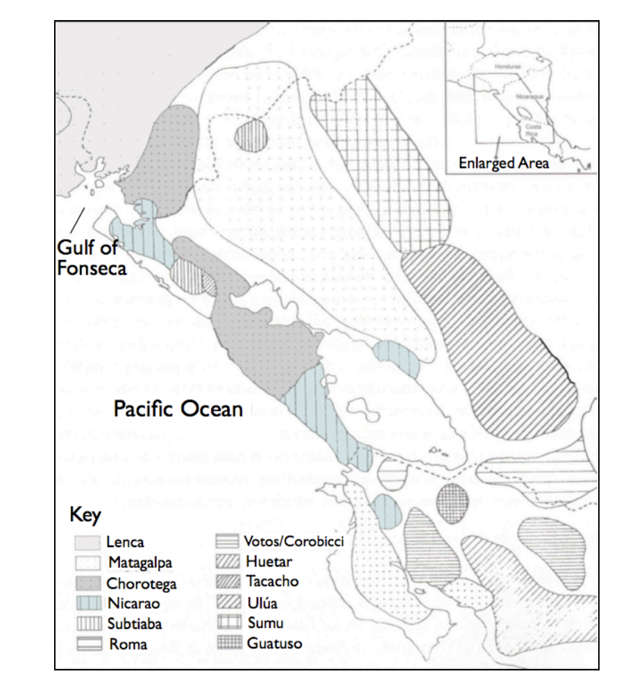
Map 1522

Map representing the linguistic diversity that existed in Central America and the Gulf of Fonseca at the time of contact with the Spanish

  • GOMEZ, ESTEBAN MONTES

Published: 2010

  • Download Image

Peoples

  • LENCA
  • MATAGALPA
  • CHOROTEGA
  • NICARAO
  • SUBTIABA
  • ROMA
  • VOTOS
  • COROBICCI
  • HUETAR
  • TACACHO
  • ULUA
  • SUMU
  • GUATUSO

Citation

Goméz, Esteban Montes. "Map representing the linguistic diversity that existed in Central America and the Gulf of Fonseca at the time of contact with the Spanish" IN Archaeology of the Colonial Period Gulf of Fonseca, Eastern El Salvador" PhD Diss. University of California, Berkeley. 2010. pg. 26 https://escholarship.org/content/qt3h6908bz/qt3h6908bz_noSplash_63ed1d6868d6a9d562c348d2708ea5fb.pdf
  • Download Image

Reading in Spanish

Map 1522

Map representing the linguistic diversity that existed in Central America and the Gulf of Fonseca at the time of contact with the Spanish

  • GOMEZ, ESTEBAN MONTES

Published: 2010

  • Download Image
  • Download Image

Related Content

LINGUISTIC MAP OF MEXICO AND CENTRAL AMERICA

LINGUISTIC MAP OF MEXICO AND CENTRAL AMERICA

Map 1909
Angaité

Angaité

Map 2001
Territorios con Ocupación Actual, Tradicional y Pública Ley 26.160

Territorios con Ocupación Actual, Tradicional y Pública Ley 26.160

Map 2023
PUEBLO OTOMI

PUEBLO OTOMI

Map 2020
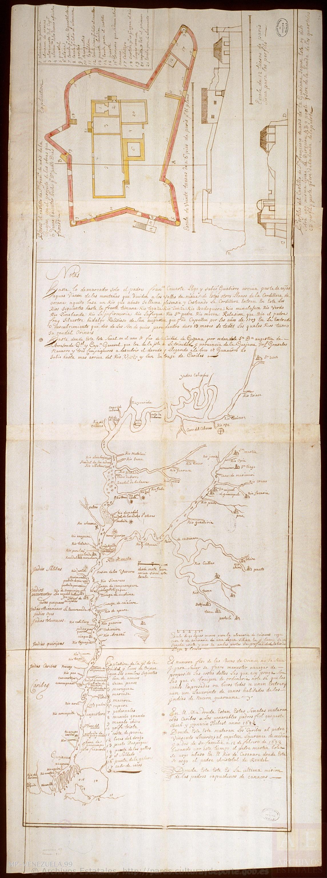
Carte de la Guyane française

Carte de la Guyane française

Map 1926
PROVINCIAS DEL QULLASUYU BAJO DOMINIO INCA PRINCIPIOS DEL SIGLO XVI

PROVINCIAS DEL QULLASUYU BAJO DOMINIO INCA PRINCIPIOS DEL SIGLO XVI

Map 1530 - 1540
AYOREO

AYOREO

Map 2015
Plano general de las montañas orientales del Reino del Peru

Plano general de las montañas orientales del Reino del Peru

Map 1795

Dispossessions in the Americas

A project by

University of Pennsylvania

Copyright 2024

With support from

Mellon Foundation

Site design & development

Element 84

Art Credits

Goméz, Esteban Montes. “Map representing the linguistic diversity that existed in Central America and the Gulf of Fonseca at the time of contact with the Spanish” IN Archaeology of the Colonial Period Gulf of Fonseca, Eastern El Salvador" PhD Diss. University of California, Berkeley. 2010. pg. 26 https://escholarship.org/content/qt3h6908bz/qt3h6908bz_noSplash_63ed1d6868d6a9d562c348d2708ea5fb.pdf
Site Pages

  • Home
  • Explore
  • About
  • Authors
  • Art
  • Bodies
  • Curricula
  • Cultural Heritage
  • Maps
  • Territories