Peoples
- ACHUAR
Citation
Archivo Nacional del Ecuador. "Plano del Hato del Tambo;adjunto a la escritura de doncación que otorga Pablo Chiriboga a favor de los indígenas de Papallacta". Pichincha;Ecuador. 1903. ANH.MP.02.06.16.NT4P.0160
![Carte de la partie de l'Yucatan concedée aux Anglais: [traités de 1783 et 1786].](https://dnet8ble6lm7w.cloudfront.net/maps/BEL/BEL0058.jpeg)
Carte de la partie de l'Yucatan concedée aux Anglais: [traités de 1783 et 1786].
Map 1783 - 1786
Plan topográfico de las Provincias de Chocó, Antioquia y Popayán
Map 1700
CHILE LA PLATA AND URUGUAY
Map 1836![Amazonía [Amazon]](https://dnet8ble6lm7w.cloudfront.net/art_sm/APER082.png)
Amazonía [Amazon]
Artwork
TABULA geographica del rio Maranon o Amazonas
Map 1690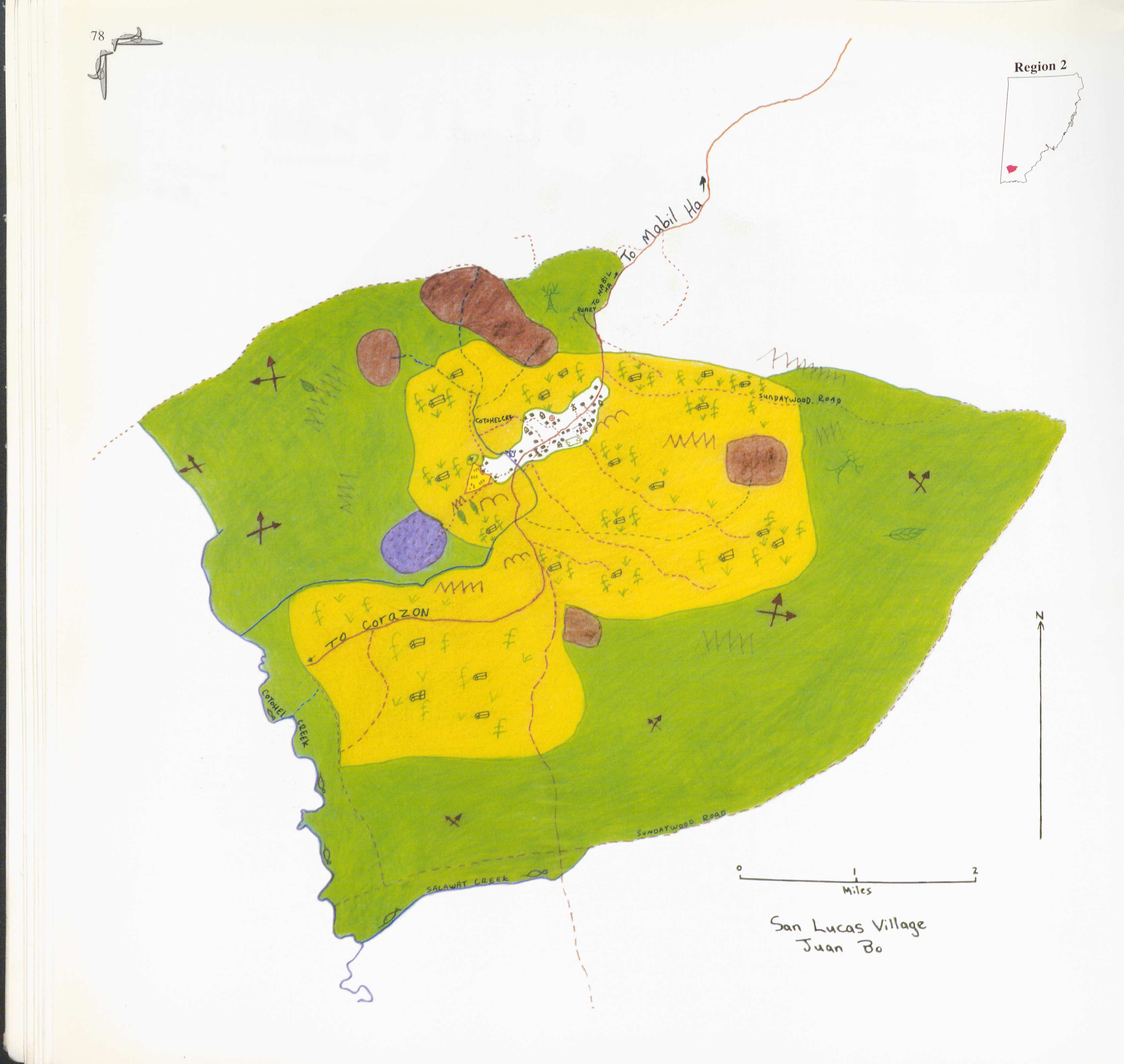
San Lucas
Map 1997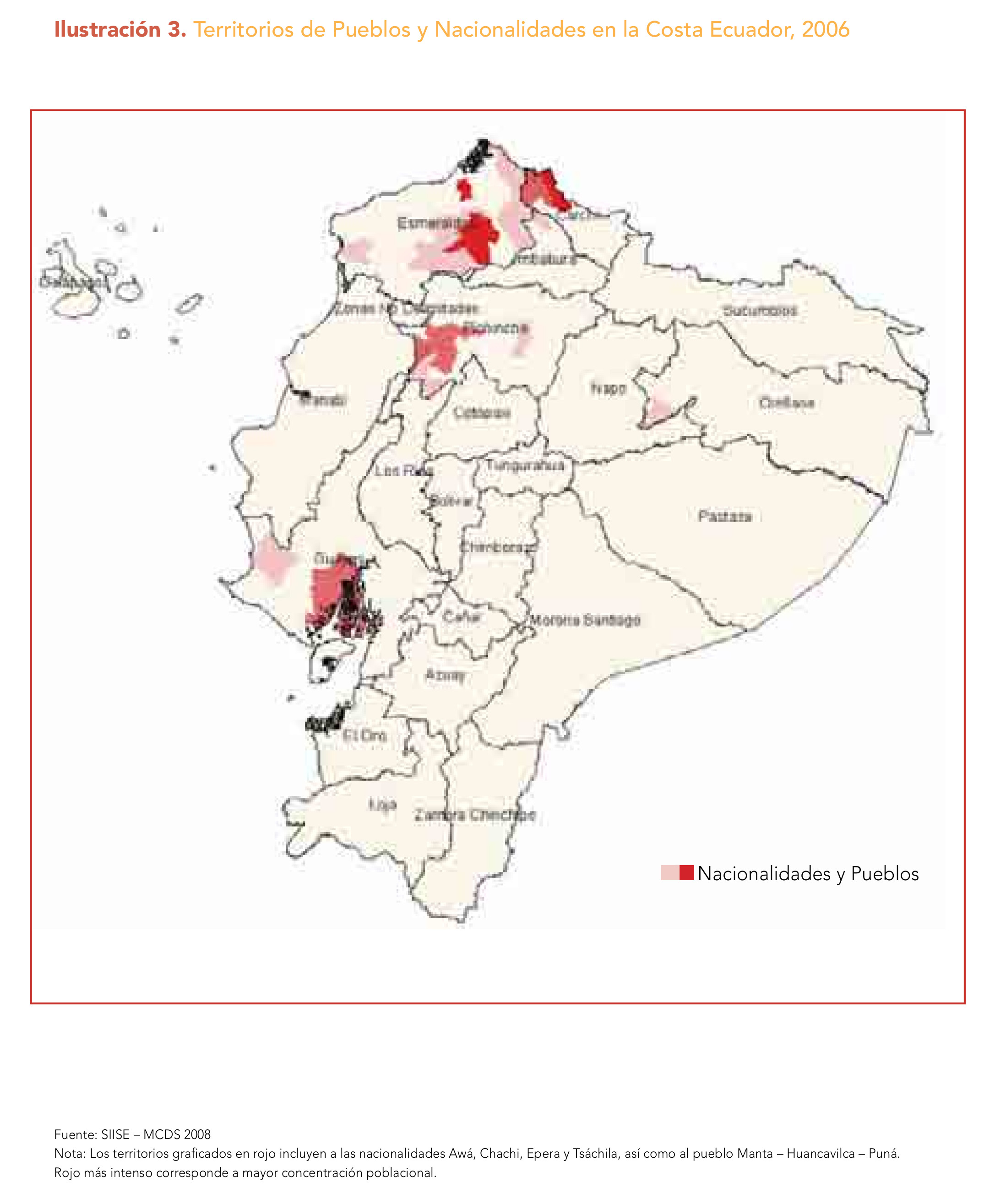
Ilustración 3. Territorios de Pueblos y Nacionalidades en la Costa Ecuador;2006
Map 2006
A Sequel of the Seat of War in the West Indies containing… Sub-map title: A large & accurate MAP of part of the Isthmus of Panama, taken from a Spanish drought exhibiting the Country adjacent to that City and Puerto Bello, with the Roads and Course of the River CHAGRE, by which the Treasure of the South Sea is conveyed a cross the Isthmus
Map 1740