Citation
Map of the Island of Cuba and Surrounding Territories. Library of Congress. Accessed, February 24, 2024. https://www.loc.gov/resource/gdcwdl.wdl_14154/?r=0.036,0.138,0.808,0.423,0#
CONFED. ARGENTINA, CHILIE, PARAGUAY, Y URUGUAY.
Map 1850
Map of the RIVER JURUÁ
Map 1869![Carte de la partie de l'Yucatan concedée aux Anglais: [traités de 1783 et 1786].](https://dnet8ble6lm7w.cloudfront.net/maps/BEL/BEL0058.jpeg)
Carte de la partie de l'Yucatan concedée aux Anglais: [traités de 1783 et 1786].
Map 1783 - 1786
Cours du Sinnamary
Map 1777
Serie Fatherland / Padre Patria
Artwork
Theories of Migration (Minuanes).
Map 1680 - 1805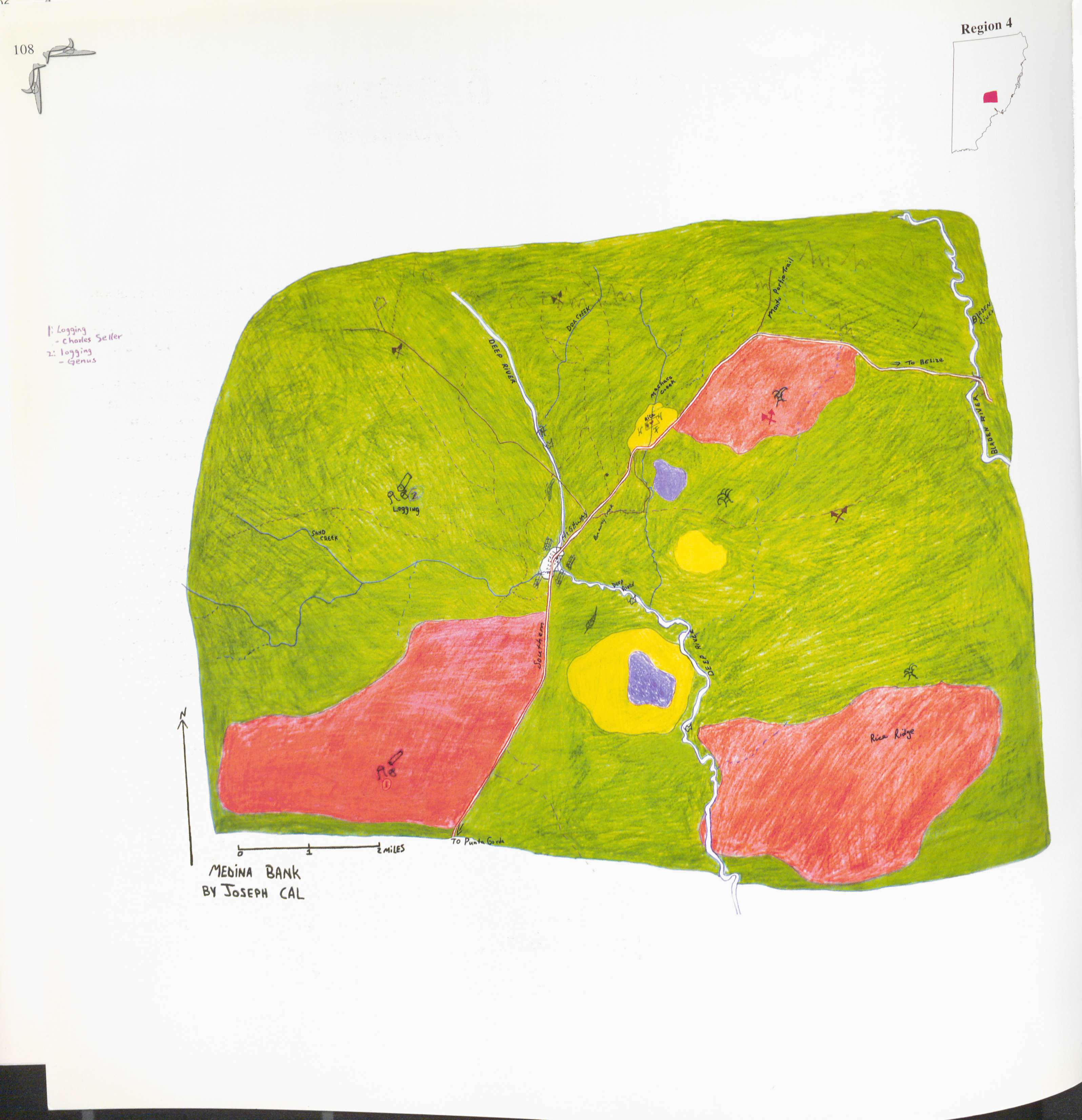
Medina Bank
Map 1997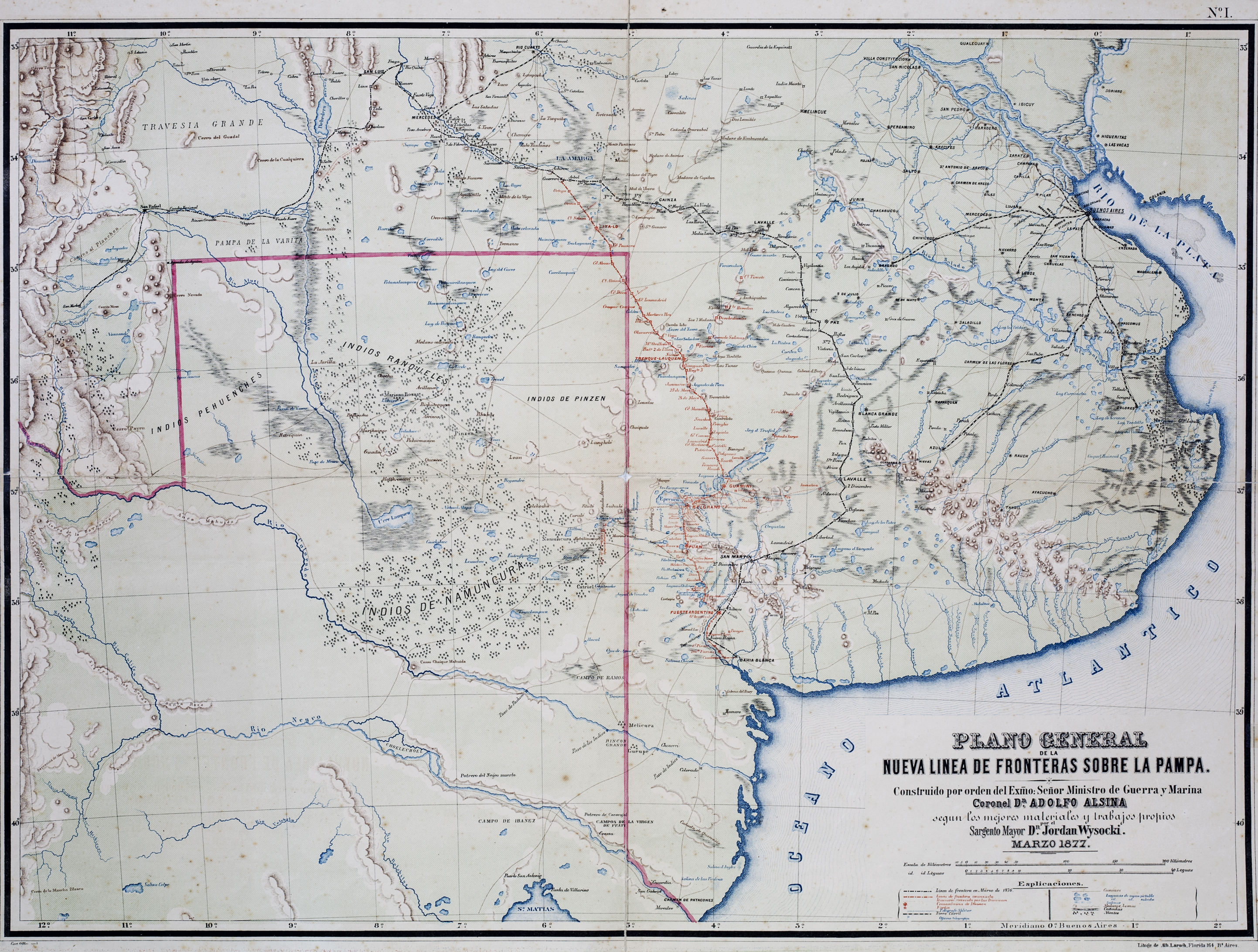
Plano General de las Nuevas Fronteras sobre La Pampa.
Map 1877