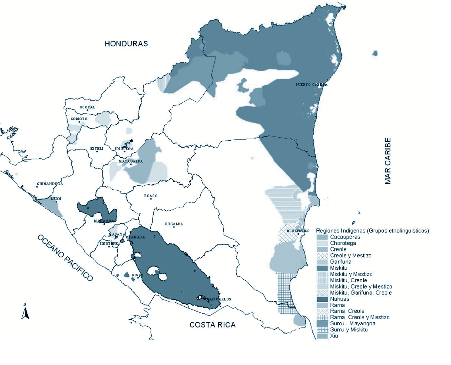
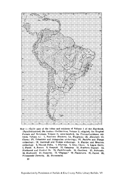
Peoples
- OMAGUAS
- JEVEROS
- OCAINAS
- URONAS
- MEREYES
- CARGONAS
- ANDOQUES
- MONUYAS
- MUINANES
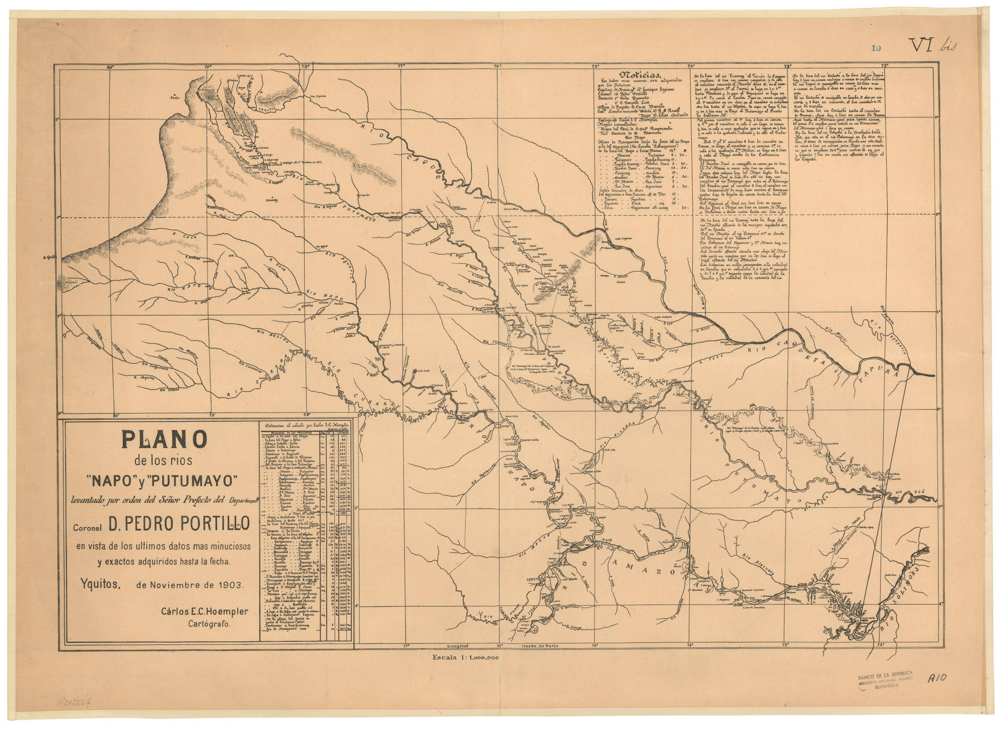
Citation
Hoempler, C. E. C. Plano de los ríos Napo y Putumayo levantado por orden del señor prefecto del departamento, Coronel D. Pedro Portillo [Map]. Red de Bibliotecas del Banco de la República en Colombia. 1903 https://babel.banrepcultural.org/digital/collection/p17054coll13/id/315/rec/10
![[Carta particolare della costa di Guiana]](https://dnet8ble6lm7w.cloudfront.net/maps/CNT/CNT0213.jpg)