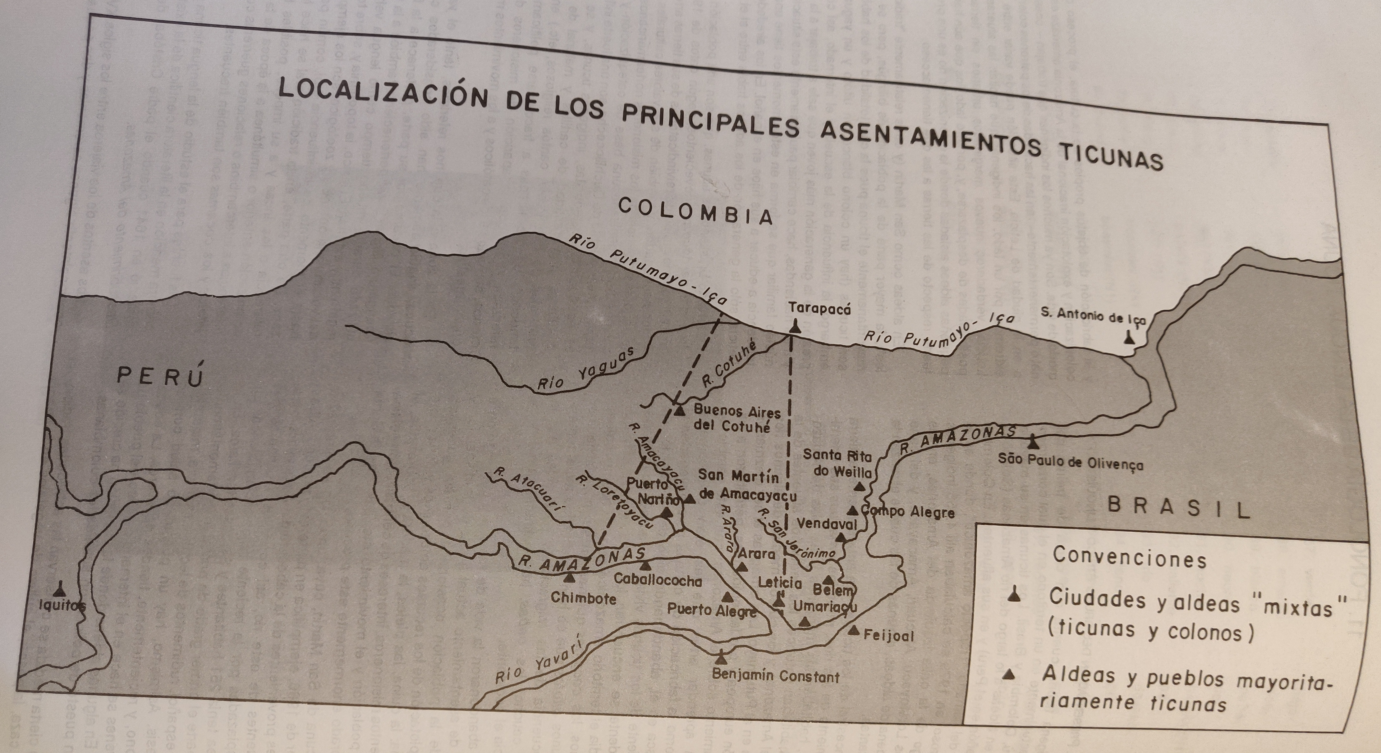
Peoples
- TICUNA
Citation
Maria Stella Gonzalez de Perez y Maria Luisa Rodriguez de Montes (2000), "Lenguas Indigenas de Colombia," Instituto Caro y Cuervo, Bogota. 1989 (Localización geográfica de Boras y Mirañas, p. 290)
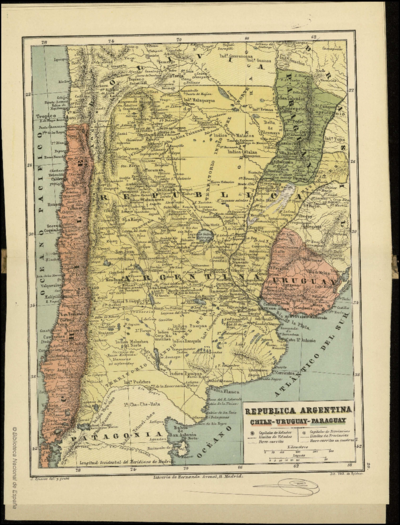
REPUBLICA ARGENTINA CHILE-URUGUAY-PARAGUAY
Map 1884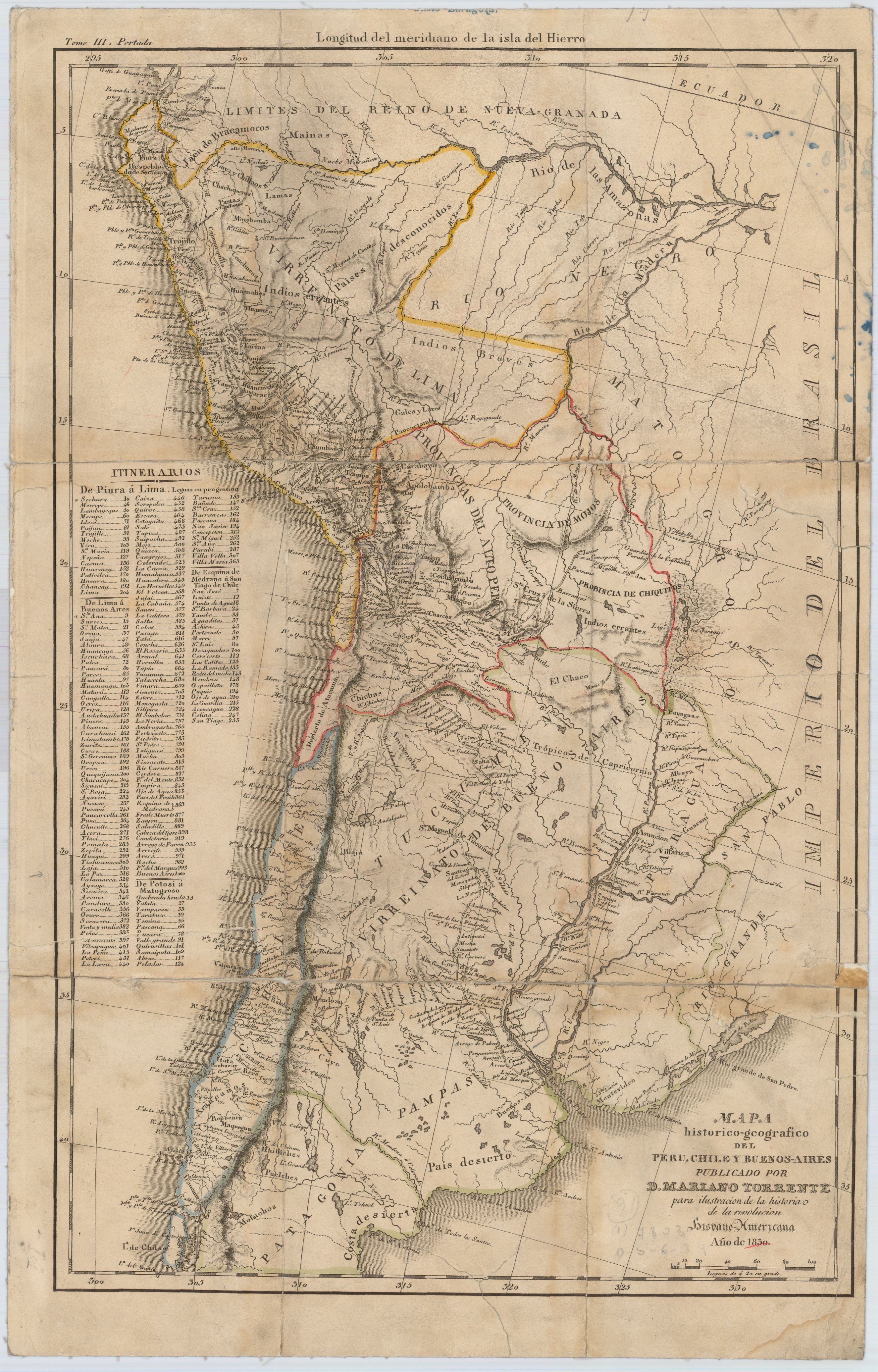
Mapa histórico-geográfico de Perú, Chile y Buenos Aires
Map 1830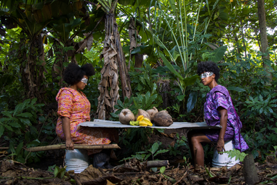
Foodtopia: después de todo territorio
Artwork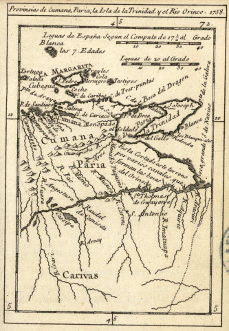
Provincias de Cumana;Paria;la Isla de la Trinidad;y el Rio Orinoco. 1758.
Map 1758
A Map of part of Yucatan or of that Part of the Eastern Shore Within the Bay of Honduras Alloted to Great Britain for the Cutting of Logwood, in consequence of the Convention Signed with Spain on the 14th July 1786.
Map 1700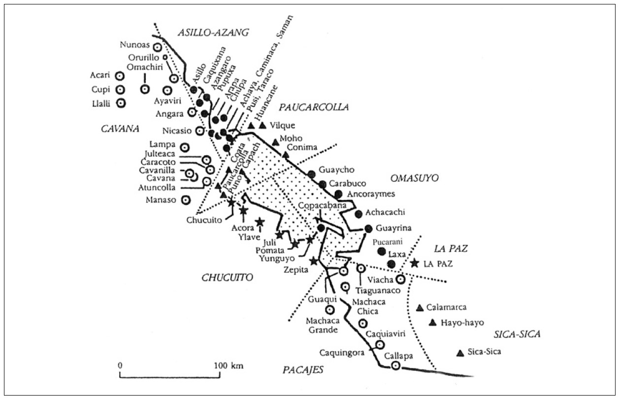
‘INDIAN ROYAL TOWNS’ (REDUCCIONES) AND PROVINCES (CORREGIMIENTOS) UNDER SPANISH COLONIAL RULE IN THE LATE 16TH CENTURY
Map 1570 - 1650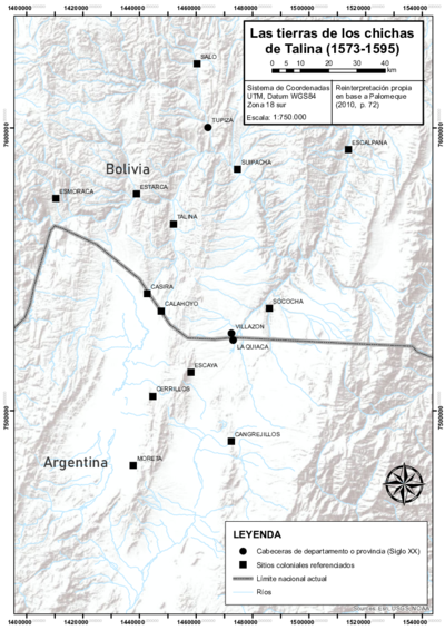
LAS TIERRAS DEL SEÑORÍO AYMARA DE LOS CHICHAS DE TALINA BAJO DOMINIO COLONIAL A FINES DEL SIGLO XVI
Map 1573 - 1595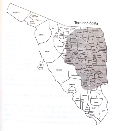
Territorio ópata
Map 2015