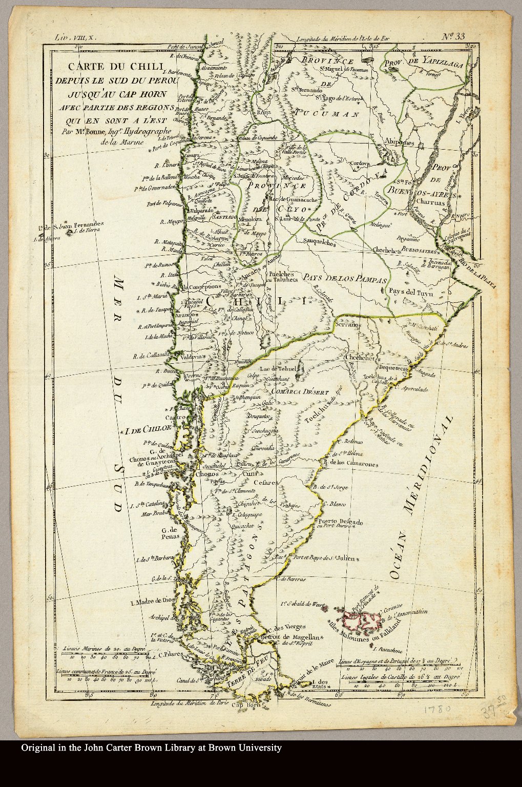
Dispossesions in the Americas

Dispossesions in the Americas

  • Home
  • Explore
  • About
  • Authors
  • Art
  • Bodies
  • Curricula
  • Cultural Heritage
  • Maps
  • Territories
Back to Explore
Map 1794

CHART containing the greater part of the SOUTH SEA to the South of the LINE, with the ISLANDS dispersed thro' the same

  • WHITTLE, JAMES

Published: 1794

  • Download Image

Peoples

  • TUPINAMBAS
  • TAPUYAS
  • CHIQUITOS
  • GUAYCURUS
  • CHARUAS
  • PATAGOUS

Citation

Whittle, James, and Robert Laurie. Chart containing the greater part of the South Sea to the South of the Line, with the Islands dispersed thro' the same. Map. London: Laurie & Whittle, 1794. Accessed August 13, 2023. https://gallica.bnf.fr/ark:/12148/btv1b53123130r/f1.item.

  • Download Image

Reading in Spanish

Map 1794

CHART containing the greater part of the SOUTH SEA to the South of the LINE, with the ISLANDS dispersed thro' the same

  • WHITTLE, JAMES

Published: 1794

  • Download Image
  • Download Image

Reading in Portuguese

Map 1794

CHART containing the greater part of the SOUTH SEA to the South of the LINE, with the ISLANDS dispersed thro' the same

  • WHITTLE, JAMES

Published: 1794

  • Download Image

Peoples

  • TUPINAMBAS
  • TAPUYAS
  • CHIQUITOS
  • GUAYCURUS
  • CHARUAS
  • PATAGOUS

Citation

Whittle, James, and Robert Laurie. Chart containing the greater part of the South Sea to the South of the Line, with the Islands dispersed thro' the same. Map. London: Laurie & Whittle, 1794. Accessed August 13, 2023. https://gallica.bnf.fr/ark:/12148/btv1b53123130r/f1.item.

  • Download Image

Related Content

Carte du Chili depuis le sud du Perou jusqu'au Cap Horn ...
     par Mr. Bonne, Ingr. Hydrographe de la Marine.

Carte du Chili depuis le sud du Perou jusqu'au Cap Horn ... par Mr. Bonne, Ingr. Hydrographe de la Marine.

Map 1780
Jardín de aclimatación de blancos [White Acclimatization Garden]

Jardín de aclimatación de blancos [White Acclimatization Garden]

Artwork
PUEBLO SHAWI

PUEBLO SHAWI

Map 2021
Distribución geográfica de las Comunidades pertenecientes a Pueblos Originarios con relevamiento culminado

Distribución geográfica de las Comunidades pertenecientes a Pueblos Originarios con relevamiento culminado

Map 2023
Mariposa del Desprecio [Butterfly of Disdain]

Mariposa del Desprecio [Butterfly of Disdain]

Artwork
Part of the Southwest 1600-1750 Showing Locations of "Unknown Athapaskans"

Part of the Southwest 1600-1750 Showing Locations of "Unknown Athapaskans"

Map 1600 - 1750
DURANGO

DURANGO

Map 2015
GRUPOS ETNOLINGÜÍSTICOS DE OAXACA

GRUPOS ETNOLINGÜÍSTICOS DE OAXACA

Map 1999 - 2002

Dispossessions in the Americas

A project by

University of Pennsylvania

Copyright 2024

With support from

Mellon Foundation

Site design & development

Element 84

Art Credits

Whittle, James, and Robert Laurie. Chart containing the greater part of the South Sea to the South of the Line, with the Islands dispersed thro’ the same. Map. London: Laurie & Whittle, 1794. Accessed August 13, 2023. https://gallica.bnf.fr/ark:/12148/btv1b53123130r/f1.item.

Site Pages

  • Home
  • Explore
  • About
  • Authors
  • Art
  • Bodies
  • Curricula
  • Cultural Heritage
  • Maps
  • Territories