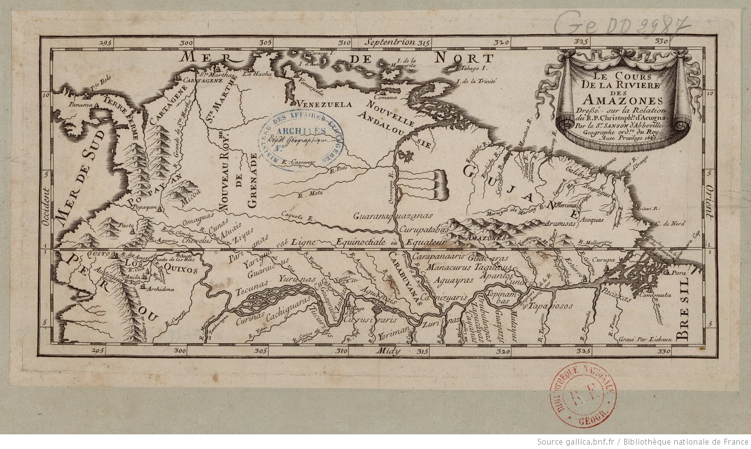
Peoples- GALIBIS
- NORAGUES
- ACOQUAS
- ARAMISAS
- MERCIOUX
- GUARANAQUAZANAS
- CURUPATABAS
- ZIYUS
- ATUAIS
- CUNAS
- OMAGUAS
- CHEVELUS
- PACAXAS
- TAPAIOSOS
- MUTAYUS
- GUAYAZIS
- URUBUTINGAS
- ZAPUCAYAS
- CAYANAS
- TOPINAMBAS
- ZURINAS
- YORIMAN
- CURUSIRARIS
- TUCURIYS
- CACHIGUARAS
- CURINAS
- CUNURIS
- APANTOS
- TAGUIUS
- GUACARAS
- AGUAYRAS
- CANIZUARIS
- MANACURUS
- CARAPANAARIS
- CARABUYANAS
- AGUANAIS
- CUANES
- GUAYRABAS
- YURUNAS
- TECUNAS
- GUARAICUS
- YARIGUARAS
- PARIANAS
- CURIS
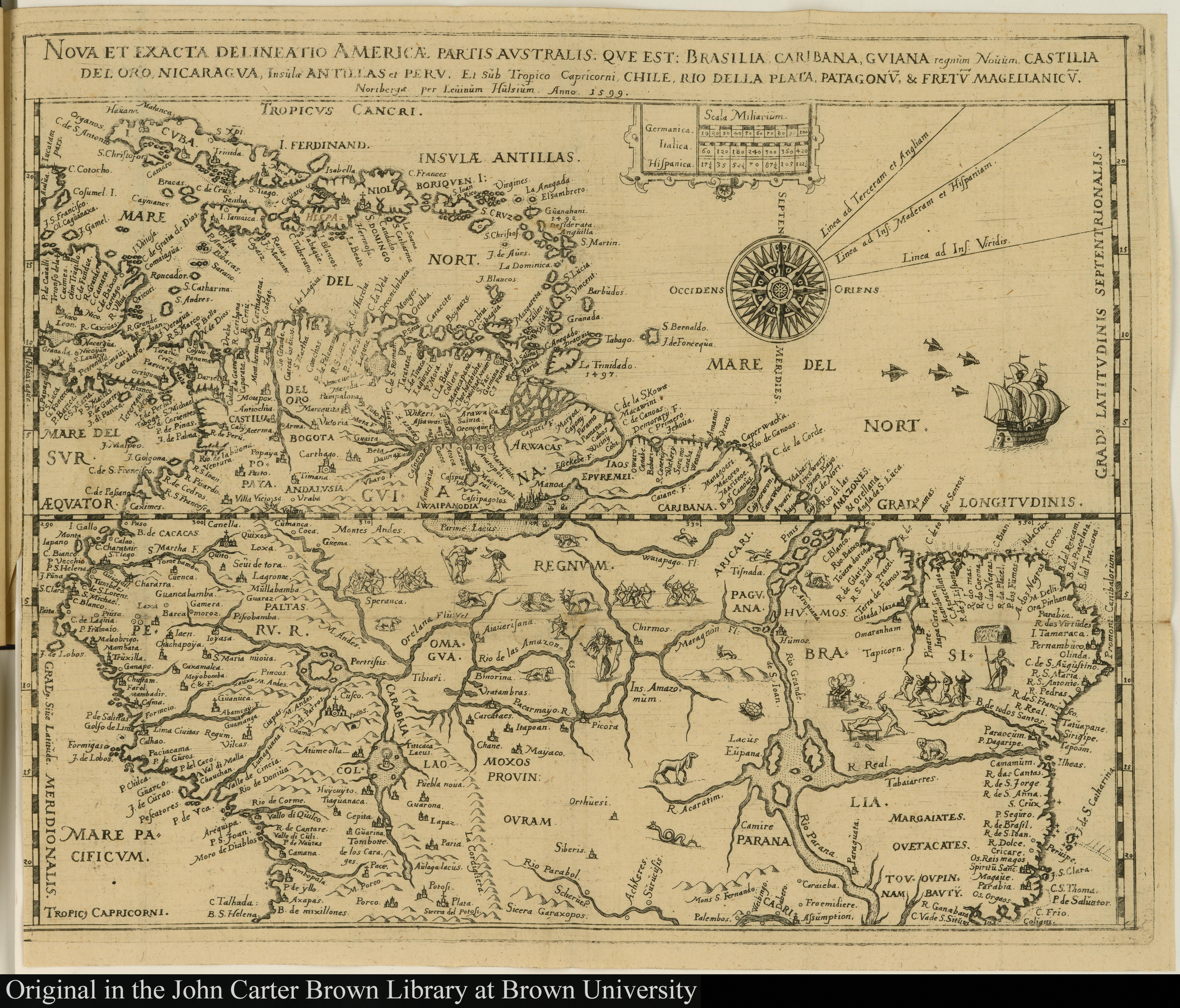
CitationSanson, Nicolas. "Le Cours de la rivière des Amazones." Map. 1680. Accessed July 26, 2023. https://gallica.bnf.fr/ark:/12148/btv1b85967499/f1.item.
Sanson, Nicolas. "Le Cours de la rivière des Amazones." Map. 1680. Accessed July 26, 2023. https://gallica.bnf.fr/ark:/12148/btv1b85967499/f1.item.
![Plano que conti[en]e las Provincias de Sonora, Pimerías, Papaguería, Apachería, Rios Gila y Colorado y tierras descubiert[a]s hasta el Puerto de S[a]n Fran[cis]co en la California Septentrional y jasta el Pueblo de Oraybe en la Provincia de el Moqui, con arreglo á los diarios de el Coronel D[o]n Ant[oni]o Crespo y de los P.P. Misioneros Fr[ray] Pedro Font y Fr[ay] Francisco Garcés de q[uie]n, los viajes desde la nación Jabajaba en el Río Colorado hasta la misión de S[a]n Gabriel, a las Naciones que están al Norte de esta Misión, su regreso á los Jamajabas y camino que hizo al Moqui, están señalados con lineas de puntos: con cuia señal se manifiesta también la línea de Presidios de esta frontera](https://dnet8ble6lm7w.cloudfront.net/maps_sm/MEX/MEX0188.png)