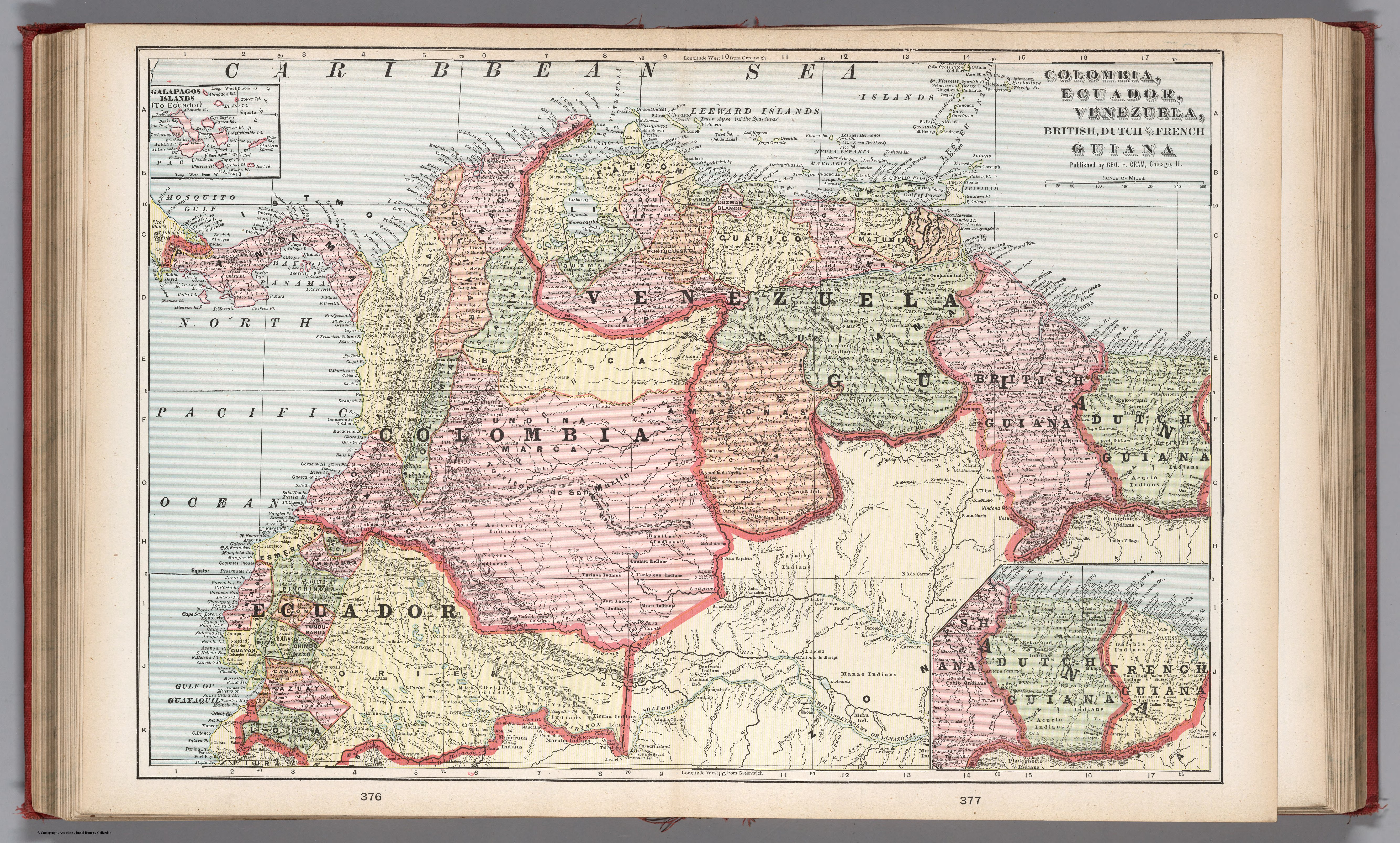
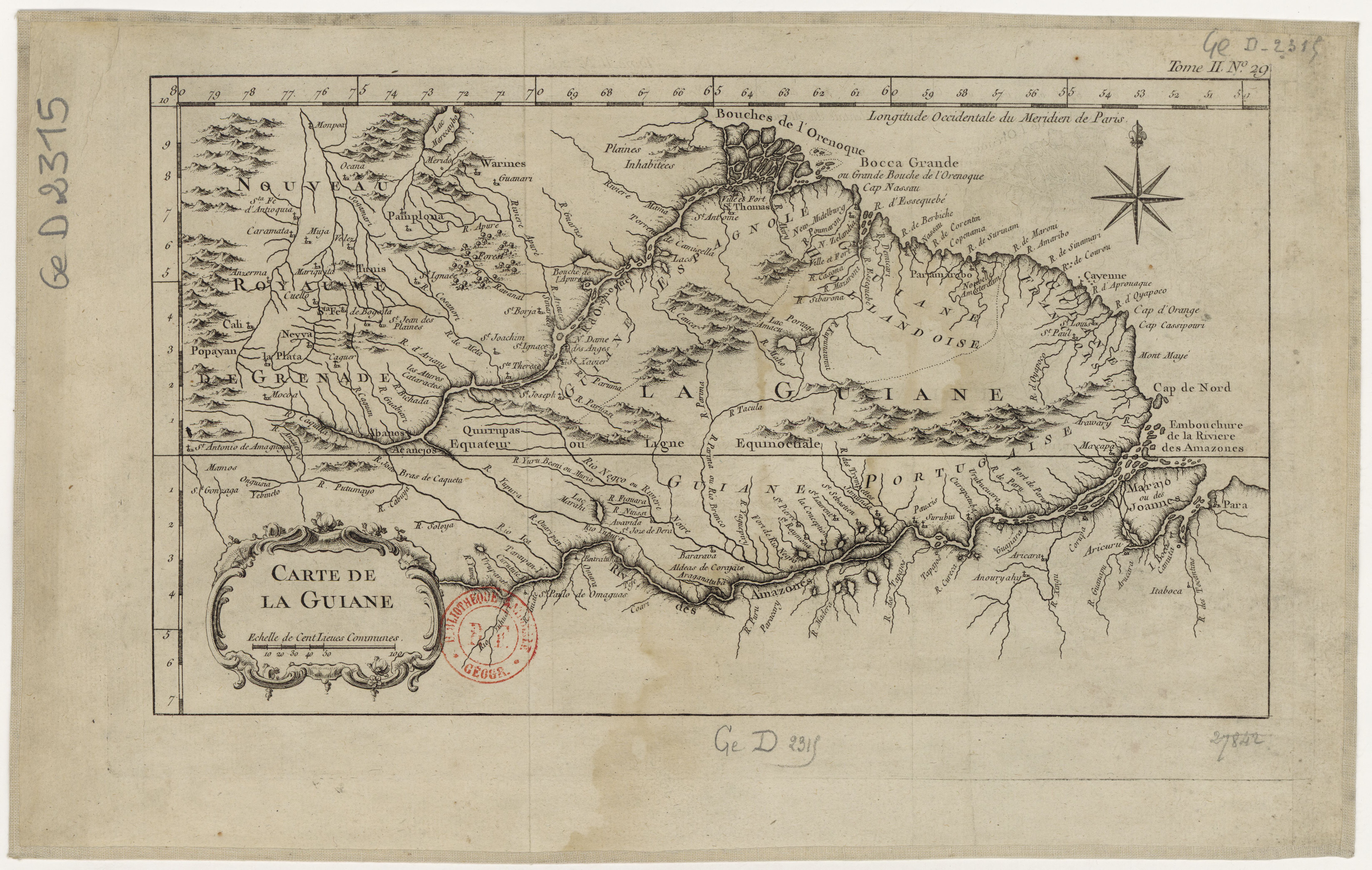
Dispossesions in the Americas

Dispossesions in the Americas

  • Home
  • Explore
  • About
  • Authors
  • Art
  • Bodies
  • Curricula
  • Cultural Heritage
  • Maps
  • Territories
Back to Explore
Map 1700 - 1799

Carte de la Guiane

  • Bellin, Jacques Nicolas

Published: 1764

  • Download Image

Peoples

  • ABANOS
  • ACANEJOS
  • QUIRRUPAS
  • TUNIS
  • WARINES

Citation

Bellin, Jacques Nicolas, Carte de la Guiane. Gallica. Last modified: August 5, 2013. Accessed, July 21, 2023. https://gallica.bnf.fr/ark:/12148/btv1b8596766t

  • Download Image

Reading in Spanish

Map 1700 - 1799

Carte de la Guiane

  • Bellin, Jacques Nicolas

Published: 1764

  • Download Image
  • Download Image

Related Content

Localización de los pueblos urus

Localización de los pueblos urus

Map 2014
Desde adentro. Las comunidades originarias de la Argentina

Desde adentro. Las comunidades originarias de la Argentina

Map 1600
Descripción geográfica (mapa que comprehende la visita practicada por el Sr. Doctor Don Francisco Antonio Moreno y Escandon;Fiscal del Crimen en la Real Audiencia de Santa Fé de Bogotá. 1781 A consequencia de Real Cédula fecha á tres de Agosto de 1774

Descripción geográfica (mapa que comprehende la visita practicada por el Sr. Doctor Don Francisco Antonio Moreno y Escandon;Fiscal del Crimen en la Real Audiencia de Santa Fé de Bogotá. 1781 A consequencia de Real Cédula fecha á tres de Agosto de 1774

Map 1781
Colombia Prima or South America drawn from the large map in eight sheets by Louis Stanislas D'Arcy Delarochette

Colombia Prima or South America drawn from the large map in eight sheets by Louis Stanislas D'Arcy Delarochette

Map 1811
Grandes familias lingüísticas en el área Amazonía

Grandes familias lingüísticas en el área Amazonía

Map 1399 - 2009
Indigenous provinces in El Salvador around 1500. (Adapted from Fowler 1989140-141, figure 5, with additional information from Lehman 1920:719, with modifications by the author.)

Indigenous provinces in El Salvador around 1500. (Adapted from Fowler 1989140-141, figure 5, with additional information from Lehman 1920:719, with modifications by the author.)

Map 1500
COLUMBIA;ECUADOR;VENEZUELA;BRITISH DUTCH AND FRENCH GUIANA

COLUMBIA;ECUADOR;VENEZUELA;BRITISH DUTCH AND FRENCH GUIANA

Map 1900 - 1999
Terra Indígena Tenondé Porã

Terra Indígena Tenondé Porã

Map 2011

Dispossessions in the Americas

A project by

University of Pennsylvania

Copyright 2024

With support from

Mellon Foundation

Site design & development

Element 84

Art Credits

Bellin, Jacques Nicolas, Carte de la Guiane. Gallica. Last modified: August 5, 2013. Accessed, July 21, 2023. https://gallica.bnf.fr/ark:/12148/btv1b8596766t

Site Pages

  • Home
  • Explore
  • About
  • Authors
  • Art
  • Bodies
  • Curricula
  • Cultural Heritage
  • Maps
  • Territories