Peoples- MERCIOUX
- MACUXIS
- KIRIKIRISCOTAS
- AORANICHAUX
- WAPASHANA
- ALURAYUS
- ZAPAWOURIS
- GACUGUAN
- ROUCOUIENS
- AMICOUANES
- POLICOURS
- COUSSARIS
- APARAVE
- CARPINAS
- APAMAS
- CORTUS
- MAUAS
- JERECUMAS
- GUERE
- AROAQUIS
- JACUMAS
- CABURICENAS
- GUAYOANOS
- CURANAUES
- JAPURAS
- MACUS
- MARIATES
- NOYURYS
- MIRANBAS
- MANABOS
- MORUAS
- JACIPUJAS
- MUNDURUCUS
- GUPINAMBAS
- ANAUBAS
- COCHRUNAS
- MAXAUAS
- CULINOS
- PASSES
- MAIORUNAS
- CALINOS
- JUMAS
- ARARAS
- HALAPRIYAS
- ABAUES
- CAUXUARA
- PURIS-PURUS
- PAMINARYS
- BURUBES
- MACARARIS
- NOUARAICUS
- CHIPIOOS
- CHIUANOS
- CATUQUINAS
- CIPOS
- MAY
- GURAS
- PARENTINTINS
- CATAUIXIS
- HYAMAMADYS
- HOYPURINAS
- HAUAS
- JMPETINIRIS
- PUCAPACURIS
- COCAMAS
- HUAYANAMARYS
- LUARUNAS
- PAMANAS
- CARIPUNAS
- UABIAS
- ORUGUATAS
- GRADABUS
- CHAMBIOAS
- SARAMAS
- RUPURUCURUS
- HYPURINAS
- MANETENERYS
- ZOPINOS
- CABABIBAS
- APIACAS
- CARAJAS
- XACURUINAS
- CHOCOBOS
- MEQUENS
- GUARAJOS
- PARABITANAS
- BACURIS
- BARBADOS
- GUATOS
- GUANAS
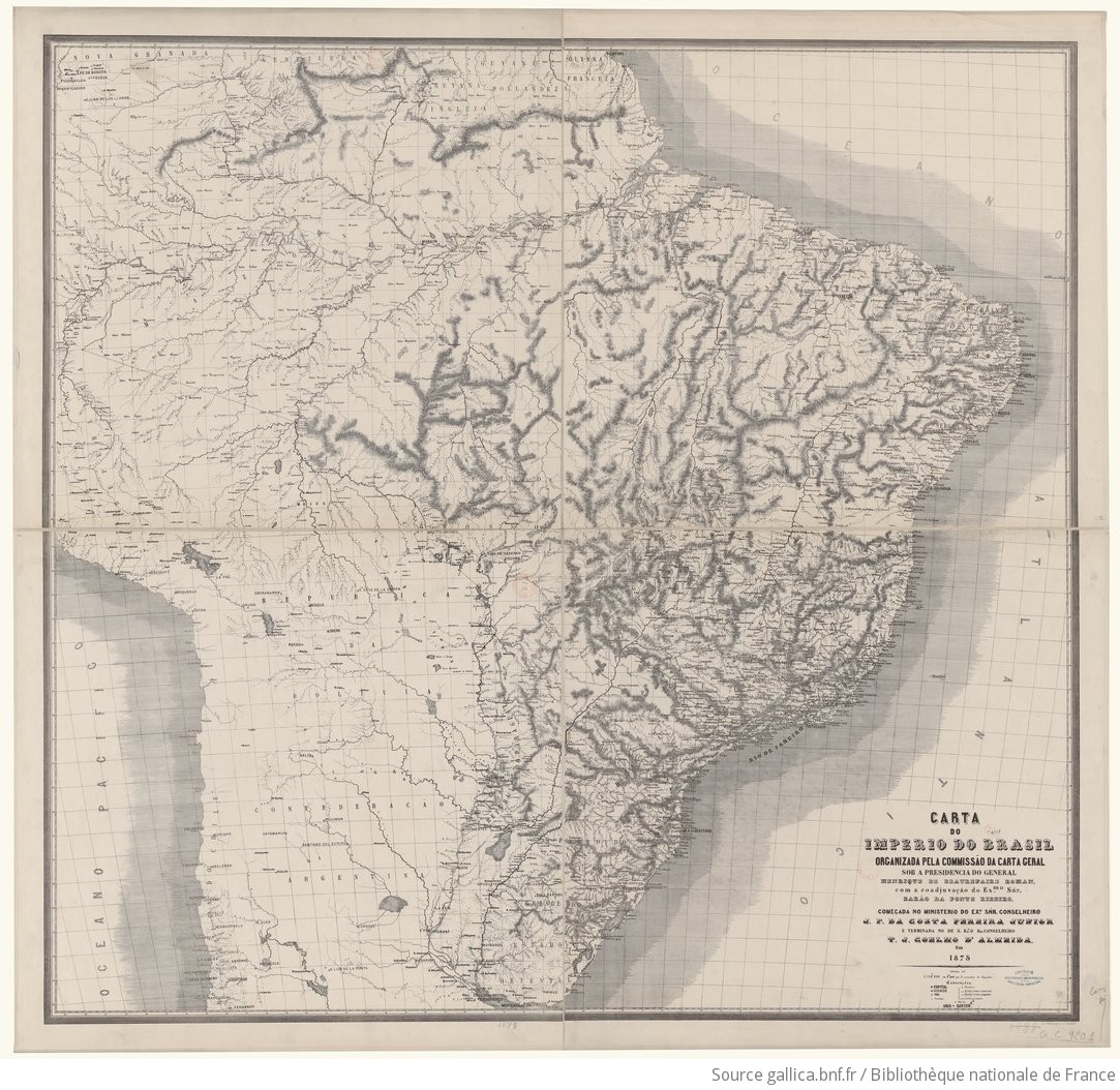
CitationCommissâo da Carta Geral, Henrique de Beaurepaire-Rohan, and Barao da Ponte Ribeiro. Carta do Imperio do Brasil. Map. Instituto Heliographico A. Henschel, 1875. Accessed July 23, 2023. https://gallica.bnf.fr/ark:/12148/btv1b530985265/f1.item.
Commissâo da Carta Geral, Henrique de Beaurepaire-Rohan, and Barao da Ponte Ribeiro. Carta do Imperio do Brasil. Map. Instituto Heliographico A. Henschel, 1875. Accessed July 23, 2023. https://gallica.bnf.fr/ark:/12148/btv1b530985265/f1.item.