Peoples
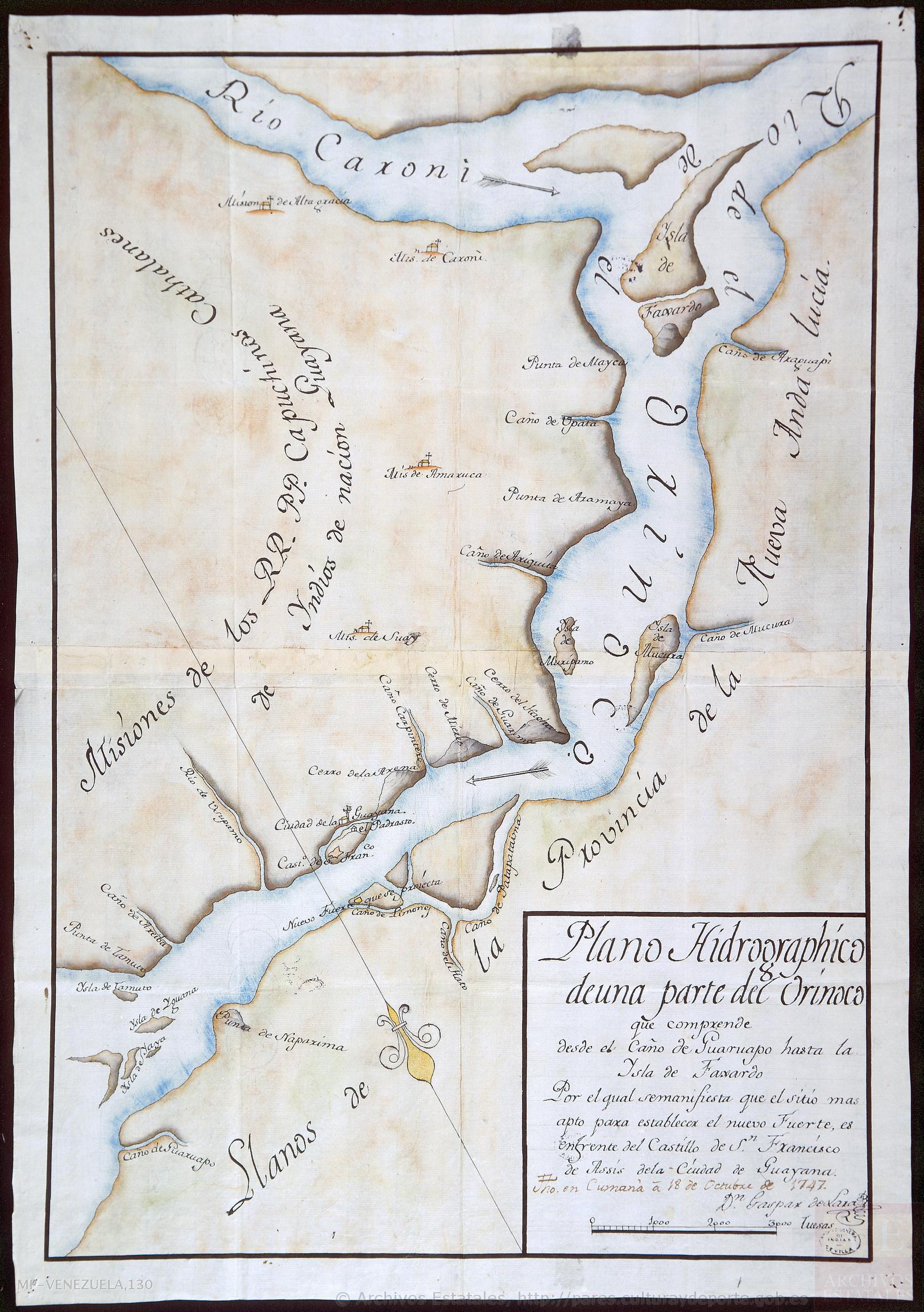
- COAHIROS
- GUARAUNOS
- CARIBS
Citation
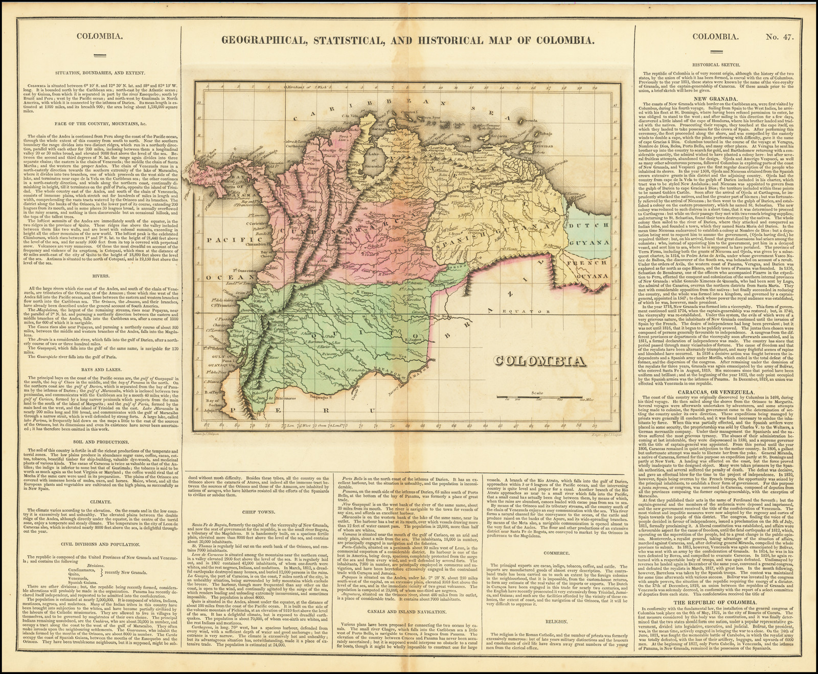
Carey, Henry Charles, and Isaac Lea. Geographical, Statistical and Historical Map of Colombia. Map. Philadelphia: H. C. Carey & I. Lea, 1822. Accessed July 6, 2023. https://www.raremaps.com/gallery/detail/72002/geographical-statistical-and-historical-map-of-colombia-carey-lea.
![Índia [India]](https://dnet8ble6lm7w.cloudfront.net/art/ABRA005.jpg)