Dispossesions in the Americas

Dispossesions in the Americas

  • Home
  • Explore
  • About
  • Authors
  • Art
  • Bodies
  • Curricula
  • Cultural Heritage
  • Maps
  • Territories
Back to Explore
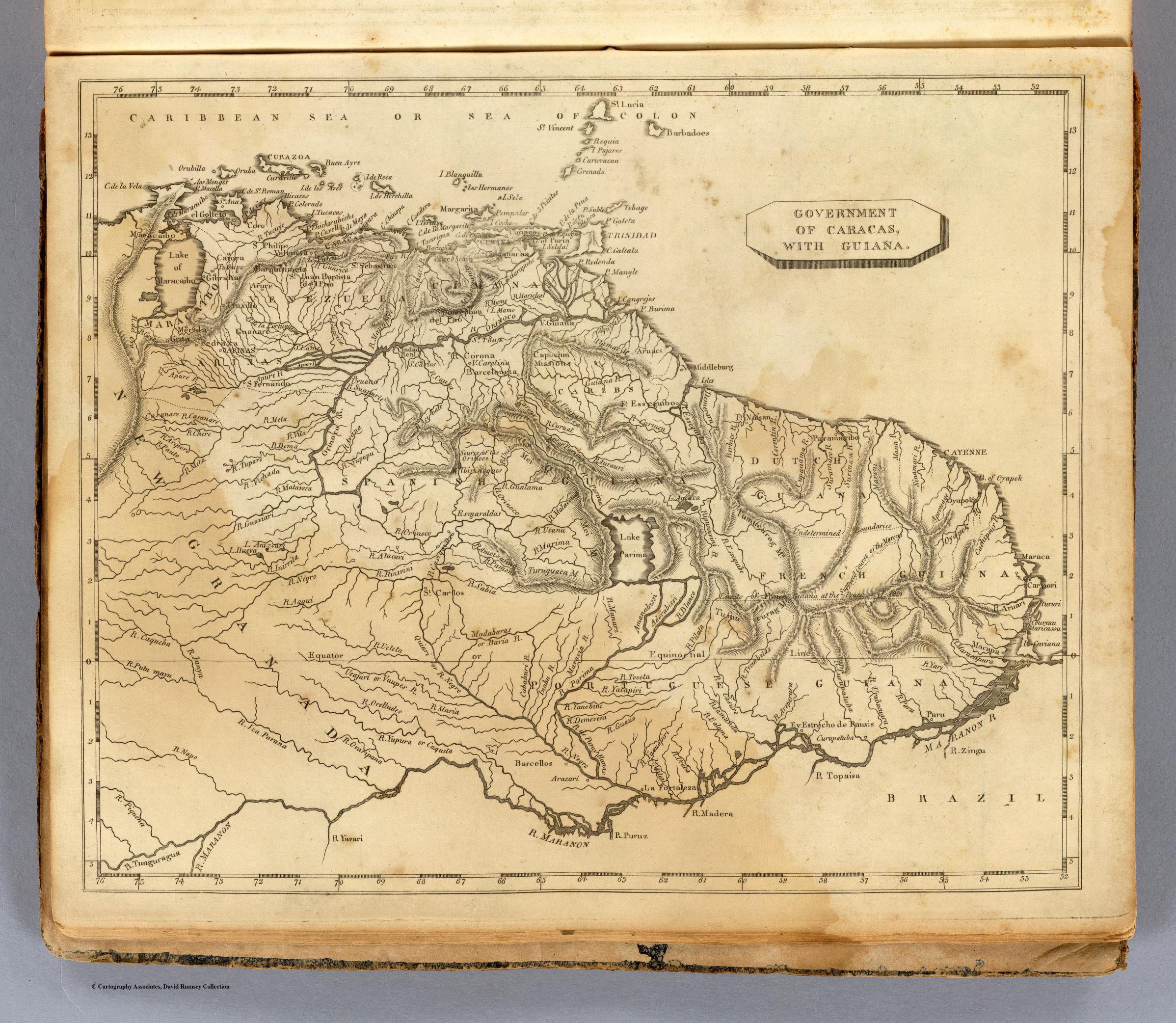
Map 1700 - 1799

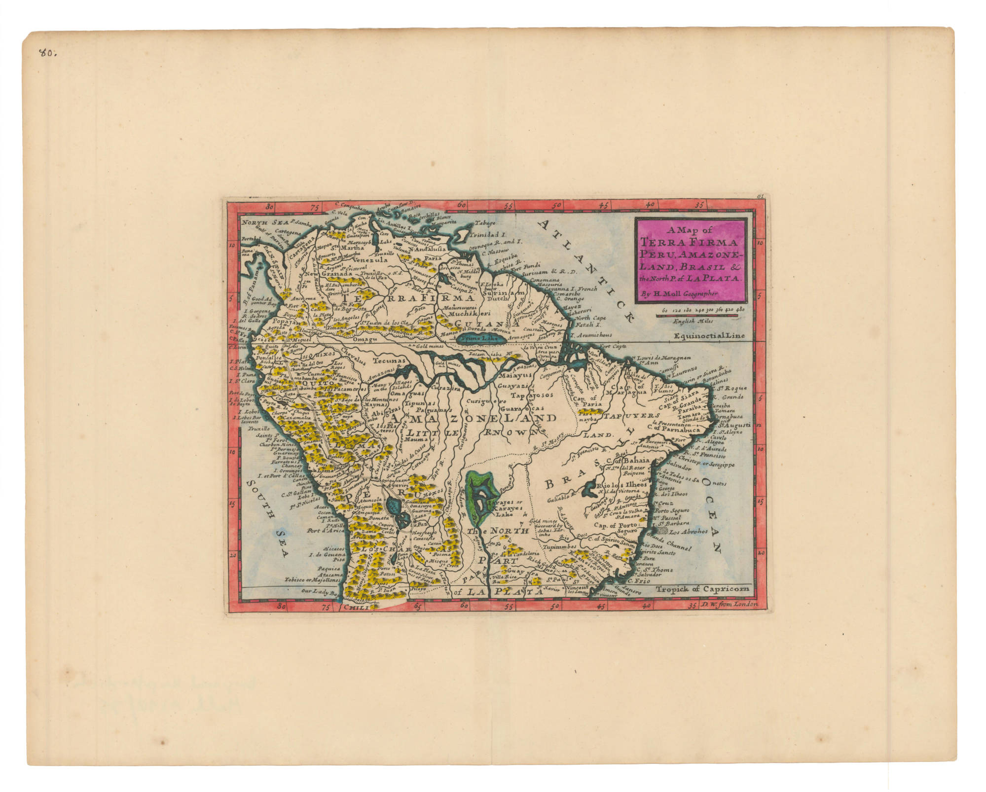
A Map of TERRA FIRMA PERU, AMAZONELAND, BRASIL and the North P. of LA PLATA

  • MOLL, HERMAN

Published: 1736

  • Download Image

Peoples

  • MARONES
  • COUSSARI
  • ARINAGOTES
  • MOROUX
  • MUCHIKERI
  • ACAMACORI
  • OMAGUAS
  • TECUNAS
  • CHEVELUS
  • QUIXOS
  • PACAMORES
  • MAYNAS
  • ABIGIRAS
  • PLATEROS
  • MAUMAS
  • PAGUANAS
  • TIPUNAS
  • CURAZIRA
  • CURIGUERO
  • MAIAYUS
  • GUAYAZIS
  • TAPAJOSOS
  • GUARAOCAS
  • TAPUYERS
  • TAPUYERES
  • MOXOS
  • TUPINIMBES

Citation

Moll, Herman. A Map of Terra Firma Peru, Amazoneland, Brasil and the North P. of La Plata. Map. London, 1736. Accessed July 6, 2023. https://babel.banrepcultural.org/digital/collection/p17054coll13/id/6/rec/4.
  • Download Image

Reading in Spanish

Map 1700 - 1799

A Map of TERRA FIRMA PERU, AMAZONELAND, BRASIL and the North P. of LA PLATA

  • MOLL, HERMAN

Published: 1736

  • Download Image
  • Download Image

Related Content

PUEBLO CHAPRA

PUEBLO CHAPRA

Map 2021
Indigenous Peoples of Nicaragua: Showing traditional lands of seven currently recognized people and groups.

Indigenous Peoples of Nicaragua: Showing traditional lands of seven currently recognized people and groups.

Map 2022
PUEBLO OTOMI

PUEBLO OTOMI

Map 2020
"Territorios Indígenas de Costa Rica"

"Territorios Indígenas de Costa Rica"

Map 2010
OAXACA

OAXACA

Map 2015
MAPPA da PROVINCIA DE SANTA CATHARINA do imperio do Brasil come as partes adjacentes das Provincias PARANA E DE SAO PEDRO DO RIO GRANDE DO SUL

MAPPA da PROVINCIA DE SANTA CATHARINA do imperio do Brasil come as partes adjacentes das Provincias PARANA E DE SAO PEDRO DO RIO GRANDE DO SUL

Map 1859 - 1860
Colton's ARG Republic;Chili;Uruguay & Paraguay

Colton's ARG Republic;Chili;Uruguay & Paraguay

Map 1855
PUEBLO JAKALTECO

PUEBLO JAKALTECO

Map 2020

Dispossessions in the Americas

A project by

University of Pennsylvania

Copyright 2024

With support from

Mellon Foundation

Site design & development

Element 84

Art Credits

Moll, Herman. A Map of Terra Firma Peru, Amazoneland, Brasil and the North P. of La Plata. Map. London, 1736. Accessed July 6, 2023. https://babel.banrepcultural.org/digital/collection/p17054coll13/id/6/rec/4.
Site Pages

  • Home
  • Explore
  • About
  • Authors
  • Art
  • Bodies
  • Curricula
  • Cultural Heritage
  • Maps
  • Territories