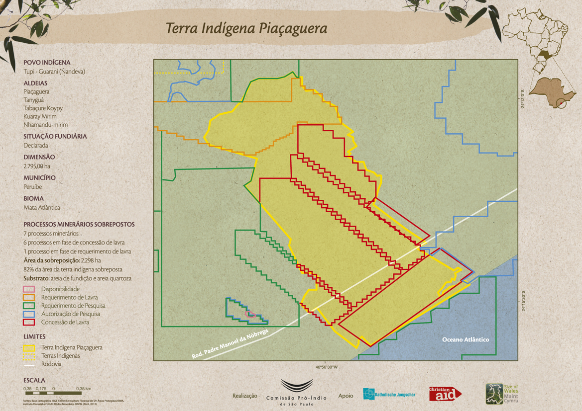
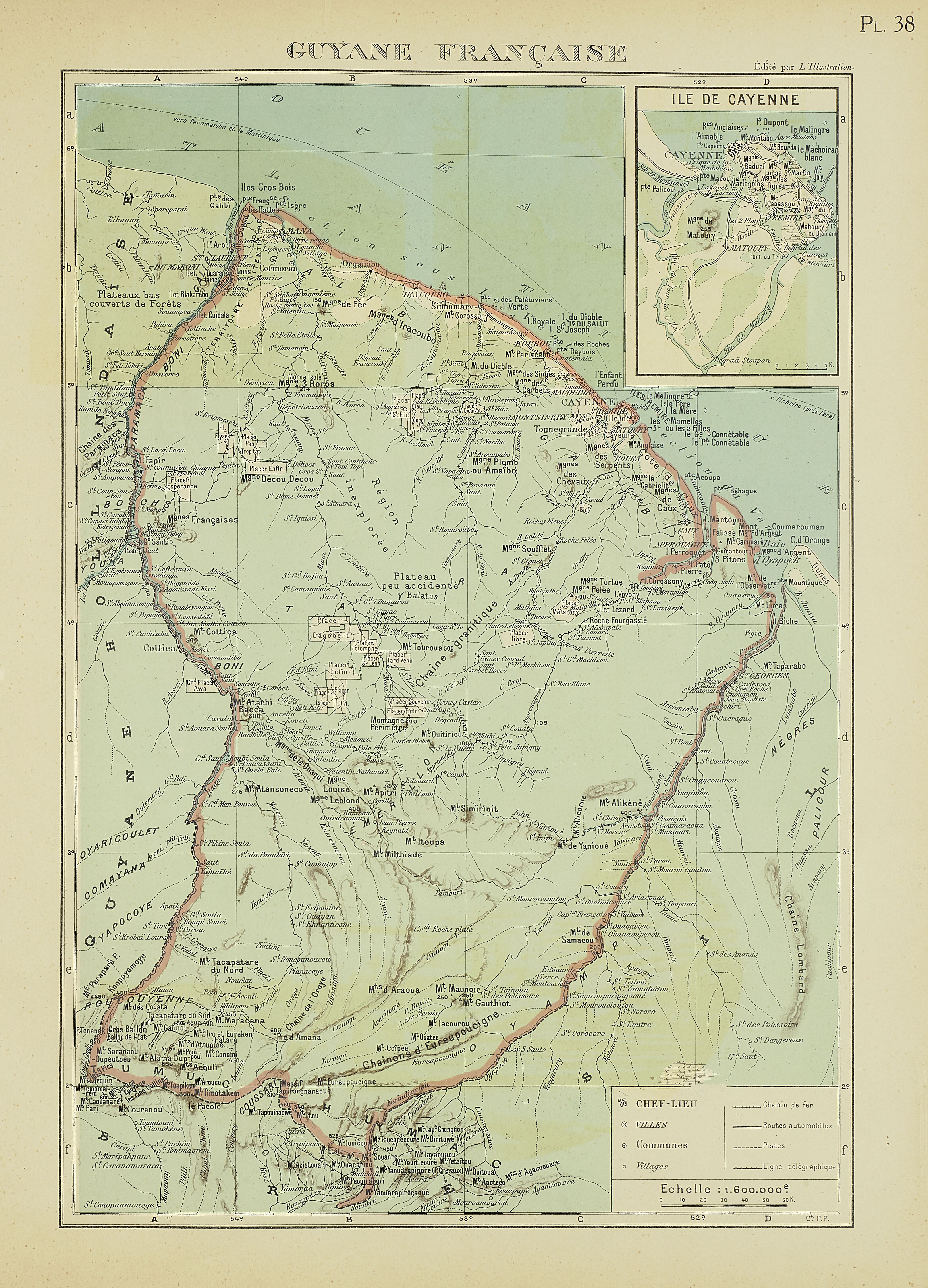
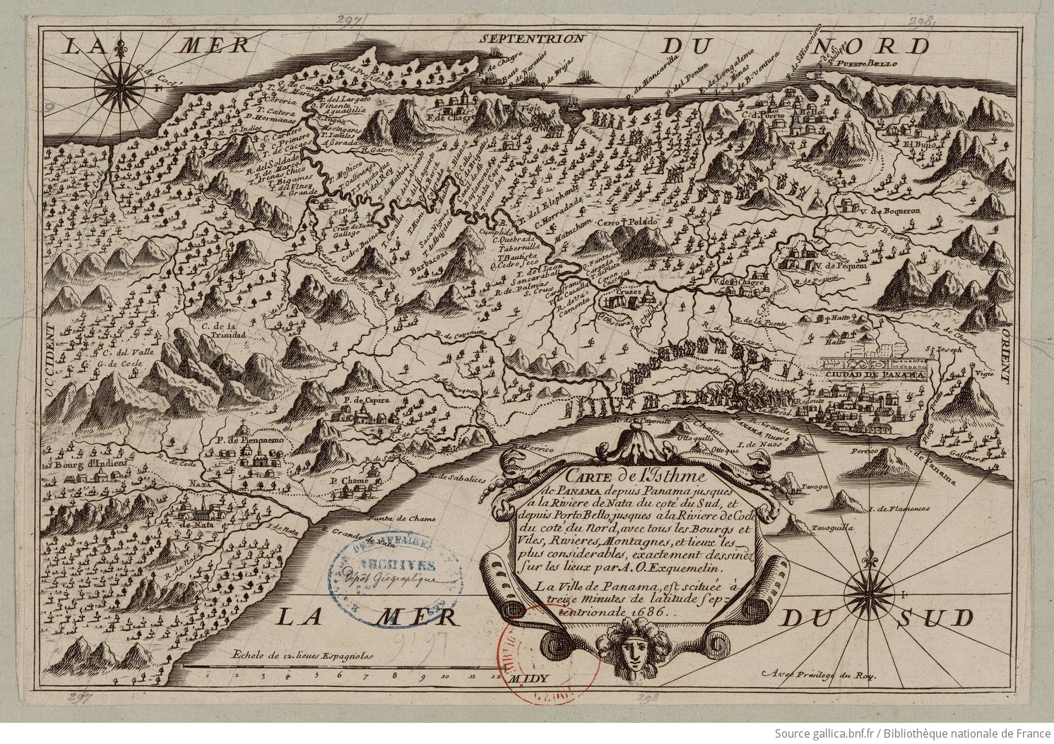
Dispossesions in the Americas

Dispossesions in the Americas

  • Home
  • Explore
  • About
  • Authors
  • Art
  • Bodies
  • Curricula
  • Cultural Heritage
  • Maps
  • Territories
Back to Explore
Map 1700 - 1799

A New Chart of Guayana with the colonies of Cayenne;Surinam;&c.

  • Heather;William;Norie;John William;Stephenson;John

Published: 1797

  • Download Image

Peoples

  • ARAWACAS
  • GALIBIS
  • NORAGUES

Citation

Heather, William, Norie, John William, Stephenson, John, A New Chart of Guayana with the colonies of Cayenne, Surinam, &c. Gallica. Last modified: September 12, 2016. Accessed, June 28, 2023. https://gallica.bnf.fr/ark:/12148/btv1b531230792

  • Download Image

Reading in Spanish

Map 1700 - 1799

A New Chart of Guayana with the colonies of Cayenne;Surinam;&c.

  • Heather;William;Norie;John William;Stephenson;John

Published: 1797

  • Download Image
  • Download Image

Reading in Portuguese

Map 1700 - 1799

A New Chart of Guayana with the colonies of Cayenne;Surinam;&c.

  • Heather;William;Norie;John William;Stephenson;John

Published: 1797

  • Download Image

Peoples

  • ARAWACAS
  • GALIBIS
  • NORAGUES

Citation

Heather, William, Norie, John William, Stephenson, John, A New Chart of Guayana with the colonies of Cayenne, Surinam, &c. Gallica. Last modified: September 12, 2016. Accessed, June 28, 2023. https://gallica.bnf.fr/ark:/12148/btv1b531230792

  • Download Image

Related Content

Vision etnografica del Choco Medidional

Vision etnografica del Choco Medidional

Map 1596
Fig. 1. Map of French Guiana with locations of the various Amerindian groups

Fig. 1. Map of French Guiana with locations of the various Amerindian groups

Map 1999
Terra Indígena Boa Vista do Sertão Pró-Mirim

Terra Indígena Boa Vista do Sertão Pró-Mirim

Map 2012
K. GUIANA. I. DAS BRITISCHE, II. [DAS] NIEDERLAENDISCHE, III. [DAS FRANZÖSISCHE.]

K. GUIANA. I. DAS BRITISCHE, II. [DAS] NIEDERLAENDISCHE, III. [DAS FRANZÖSISCHE.]

Map 1800 - 1899
Terra Indígena Piçaguera

Terra Indígena Piçaguera

Map 2012
"Territorio Indígena Brunka de Boruca"

"Territorio Indígena Brunka de Boruca"

Map 2010
PL 38: Guyane française.

PL 38: Guyane française.

Map 1929
Carte de l'Isthme de Panama depuis Panama jusques à la Riviere de Nata du coté du Sud, et depuis Porto Betto, jusques à la Riviere de Codé du coté du Nord

Carte de l'Isthme de Panama depuis Panama jusques à la Riviere de Nata du coté du Sud, et depuis Porto Betto, jusques à la Riviere de Codé du coté du Nord

Map 1686

Dispossessions in the Americas

A project by

University of Pennsylvania

Copyright 2024

With support from

Mellon Foundation

Site design & development

Element 84

Art Credits

Heather, William, Norie, John William, Stephenson, John, A New Chart of Guayana with the colonies of Cayenne, Surinam, &c. Gallica. Last modified: September 12, 2016. Accessed, June 28, 2023. https://gallica.bnf.fr/ark:/12148/btv1b531230792

Site Pages

  • Home
  • Explore
  • About
  • Authors
  • Art
  • Bodies
  • Curricula
  • Cultural Heritage
  • Maps
  • Territories