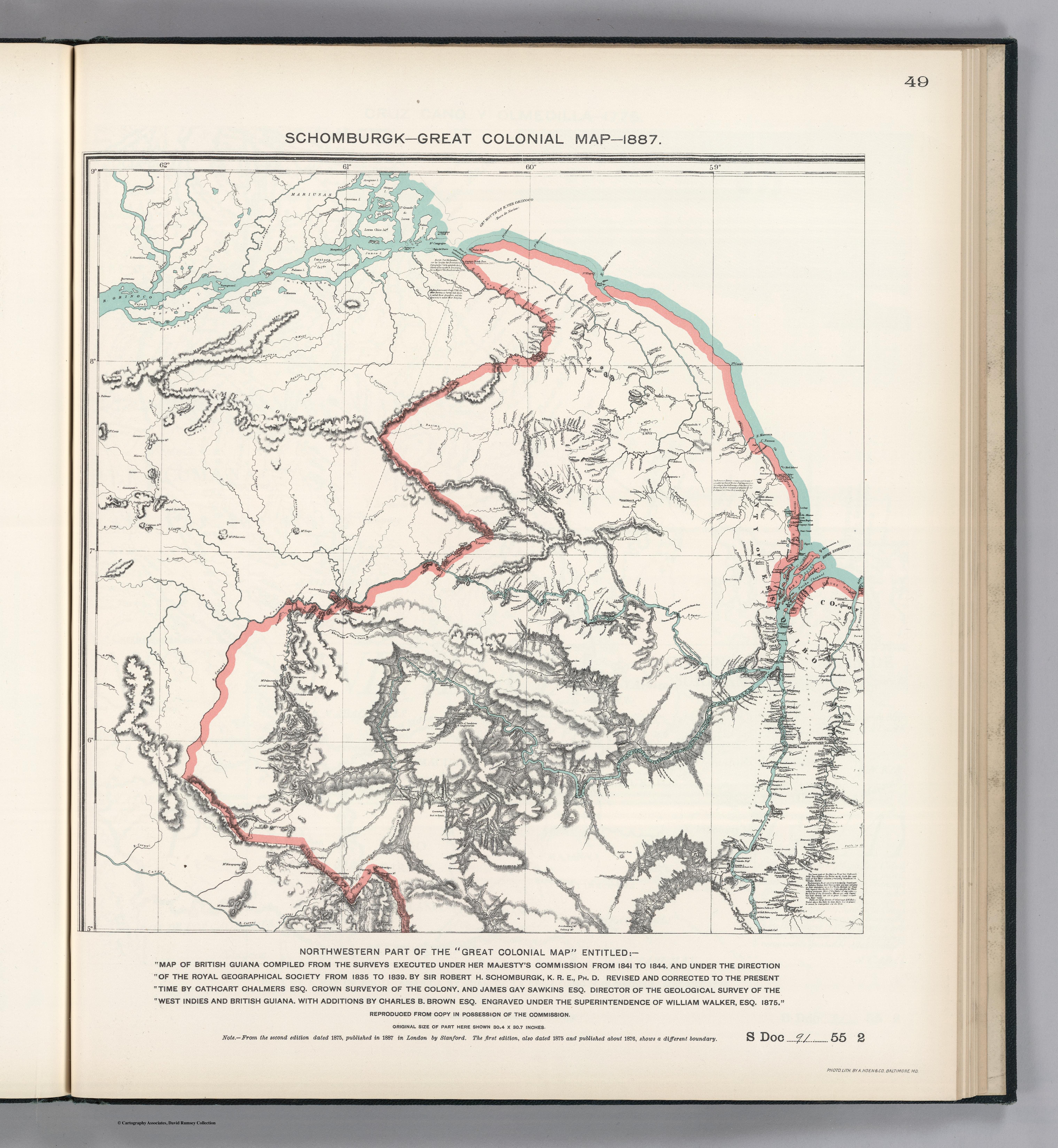
Dispossesions in the Americas

Dispossesions in the Americas

  • Home
  • Explore
  • About
  • Authors
  • Art
  • Bodies
  • Curricula
  • Cultural Heritage
  • Maps
  • Territories
Back to Explore
Map 1800 - 1899

N. 24: Guyane.

  • Challamel;Augustin;Pelet;Paul

Published: 1889

  • Download Image

Peoples

  • APALAIS
  • ARAMICHAUX
  • ARENAIBOUS
  • AROUAS
  • CALAYOUAS
  • COUSSARIS
  • EMERILLONS
  • MUCAMBOS
  • NOURAGUES
  • OUACOUPIS
  • OUAYANAS
  • OYACOULETS
  • PALICOURS
  • PARAMACAS
  • POLIGOUDOUS
  • POUPOUROUIS
  • ROUCOUYANNES
  • TAMACOMES
  • TARRIPIS
  • YOUCAS

Citation

Challamel, Augustin, Pelet, Paul, Guyane. David Rumsey Map Collection. Accessed, June 27, 2023. https://www.davidrumsey.com/luna/servlet/detail/RUMSEY~8~1~351403~90118835:Guyane-

  • Download Image

Reading in Spanish

Map 1800 - 1899

N. 24: Guyane.

  • Challamel;Augustin;Pelet;Paul

Published: 1889

  • Download Image
  • Download Image

Reading in Portuguese

Map 1800 - 1899

N. 24: Guyane.

  • Challamel;Augustin;Pelet;Paul

Published: 1889

  • Download Image

Peoples

  • APALAIS
  • ARAMICHAUX
  • ARENAIBOUS
  • AROUAS
  • CALAYOUAS
  • COUSSARIS
  • EMERILLONS
  • MUCAMBOS
  • NOURAGUES
  • OUACOUPIS
  • OUAYANAS
  • OYACOULETS
  • PALICOURS
  • PARAMACAS
  • POLIGOUDOUS
  • POUPOUROUIS
  • ROUCOUYANNES
  • TAMACOMES
  • TARRIPIS
  • YOUCAS

Citation

Challamel, Augustin, Pelet, Paul, Guyane. David Rumsey Map Collection. Accessed, June 27, 2023. https://www.davidrumsey.com/luna/servlet/detail/RUMSEY~8~1~351403~90118835:Guyane-

  • Download Image

Related Content

SCHEMATIC MAP OF DISTRIBUTION OF MAYA-SPEAKING INDIANS (From Morley, 1956, pl.7)

SCHEMATIC MAP OF DISTRIBUTION OF MAYA-SPEAKING INDIANS (From Morley, 1956, pl.7)

Map
Mapa de Honduras,  with Mapa Físico y Etnográfico (insert)

Mapa de Honduras, with Mapa Físico y Etnográfico (insert)

Map 1929
San Juan Baptista, San Luys Tezontla y Santa María Nochtongo. Oaxaca, 1579

San Juan Baptista, San Luys Tezontla y Santa María Nochtongo. Oaxaca, 1579

Map 1579
Virreynato del Río de La Plata con sus intendencias y gobiernos militares: 1810

Virreynato del Río de La Plata con sus intendencias y gobiernos militares: 1810

Map 1810
THE EASTERN BORDERS OF THE QULLASUYU - SOUTHERN DISTRICT OF THE INCA STATE - 16th CENTURY

THE EASTERN BORDERS OF THE QULLASUYU - SOUTHERN DISTRICT OF THE INCA STATE - 16th CENTURY

Map 1400 - 1499
GUANÁ

GUANÁ

Map 2015
Cited Toldería Locations, 1750-1806

Cited Toldería Locations, 1750-1806

Map 1750 - 1806
NORTHWEST PART OF THE "GREAT COLONIAL MAP"

NORTHWEST PART OF THE "GREAT COLONIAL MAP"

Map 1875

Dispossessions in the Americas

A project by

University of Pennsylvania

Copyright 2024

With support from

Mellon Foundation

Site design & development

Element 84

Art Credits

Challamel, Augustin, Pelet, Paul, Guyane. David Rumsey Map Collection. Accessed, June 27, 2023. https://www.davidrumsey.com/luna/servlet/detail/RUMSEY~8~1~351403~90118835:Guyane-

Site Pages

  • Home
  • Explore
  • About
  • Authors
  • Art
  • Bodies
  • Curricula
  • Cultural Heritage
  • Maps
  • Territories