Peoples- CARIBANA
- TOUPINAMBES
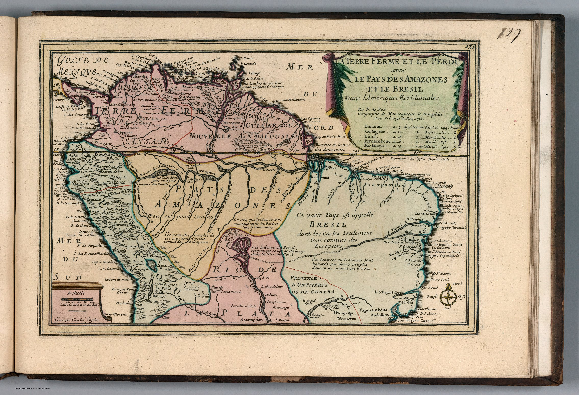
CitationFer, Nicolas de. A Terre Ferme et le Perou avec le Pays des Amazones et le Bresil. Map. Paris: Chez l'Auteur, 1705. Accessed November 20, 2022.
https://www.davidrumsey.com/luna/servlet/detail/RUMSEY~8~1~288878~90060410:A-Terre-Ferme-et-le-Perou-avec-le-P?sort=pub_list_no_i
nitialsort%2Cpub_date%2Cpub_list_no%2Cseries_no#.
Fer, Nicolas de. A Terre Ferme et le Perou avec le Pays des Amazones et le Bresil. Map. Paris: Chez l'Auteur, 1705. Accessed November 20, 2022. https://www.davidrumsey.com/luna/servlet/detail/RUMSEY~8~1~288878~90060410:A-Terre-Ferme-et-le-Perou-avec-le-P?sort=pub_list_no_i nitialsort%2Cpub_date%2Cpub_list_no%2Cseries_no#.