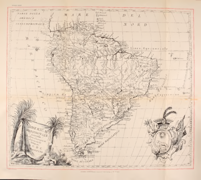
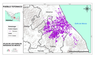
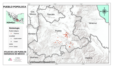
Peoples- CHARRUAS
- GUARANIES
- CIPOPAY
- ANNIRIRI
- CARIORES
- QUIRANDIES
- TENBUES
- QUILOACAS
- SANTANA
- AGAZES
- MEQUARETAS
- MEPENES
- AIGAIS
- CARIOS
- GUAICURUES
- YAPERES
- PAIEMBOS
- BASCHEREPOS
- SURUCUSIS
- GUEBECUSIS
- PARAGUAES
- GUAXARAPOS
- CHIQUITOS
- YTATYN
- TAGUAMACIS
- PAICONES
- TITANES
- MOXOS
- CHANESSES
- XAQUESSES
- XACOAES
- CHICAS
- XARAYES
- DIAGUITAS
- IURIES
- TUCUMAN
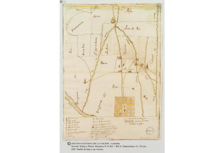
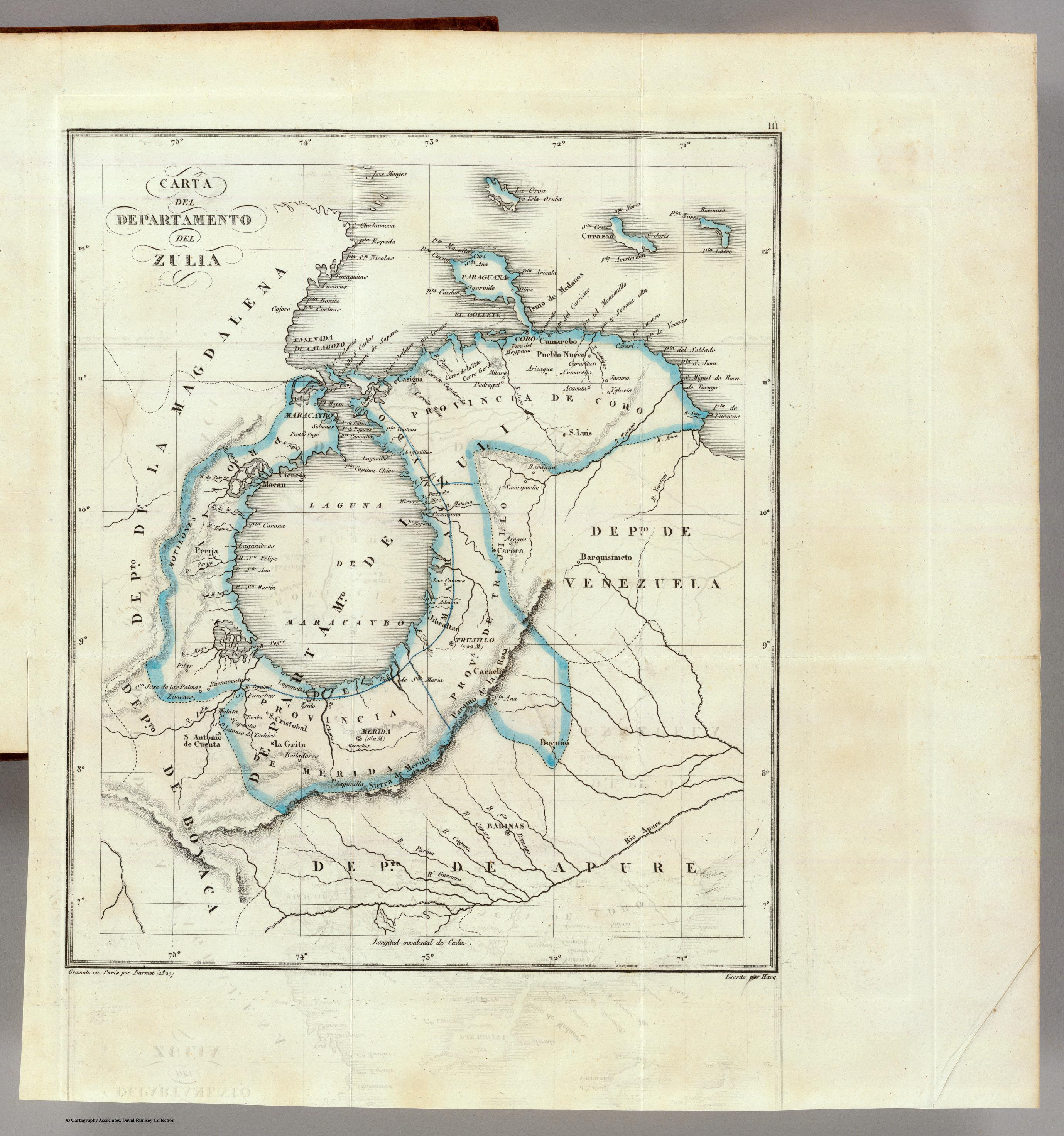
CitationJansson, Jan, and Hendrik Hondius. Paraguay, ó prov. de Rio de la Plata cum regionibus adiacentibus Tucuman et Sta. Cruz de la Sierra. Map. Amsterdam, 1633. Accessed January 20, 2022. https://collections.leventhalmap.org/search/commonwealth:6t053s04x.
Jansson, Jan, and Hendrik Hondius. Paraguay, ó prov. de Rio de la Plata cum regionibus adiacentibus Tucuman et Sta. Cruz de la Sierra. Map. Amsterdam, 1633. Accessed January 20, 2022. https://collections.leventhalmap.org/search/commonwealth:6t053s04x.