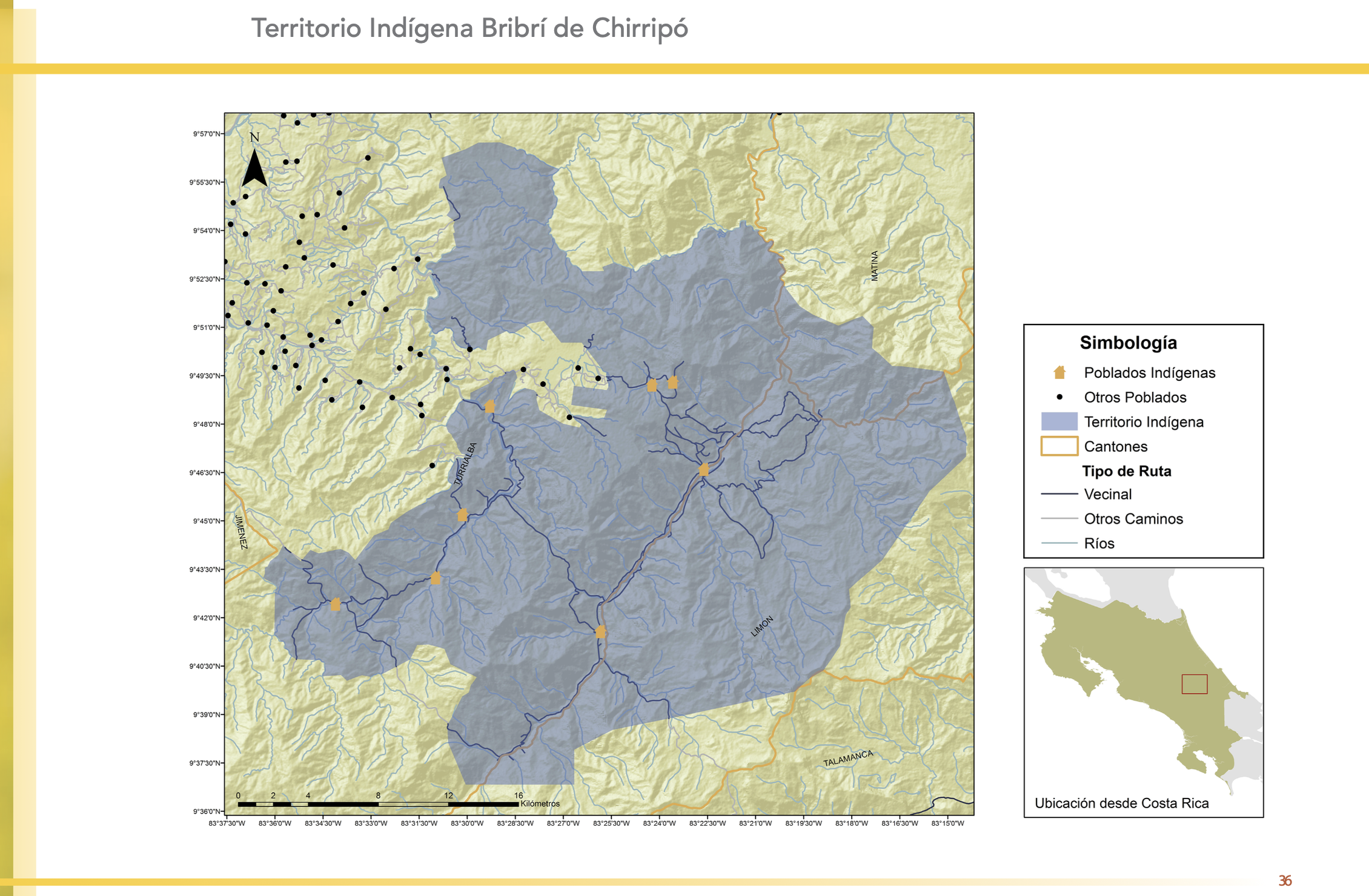
Peoples- PUELCHES
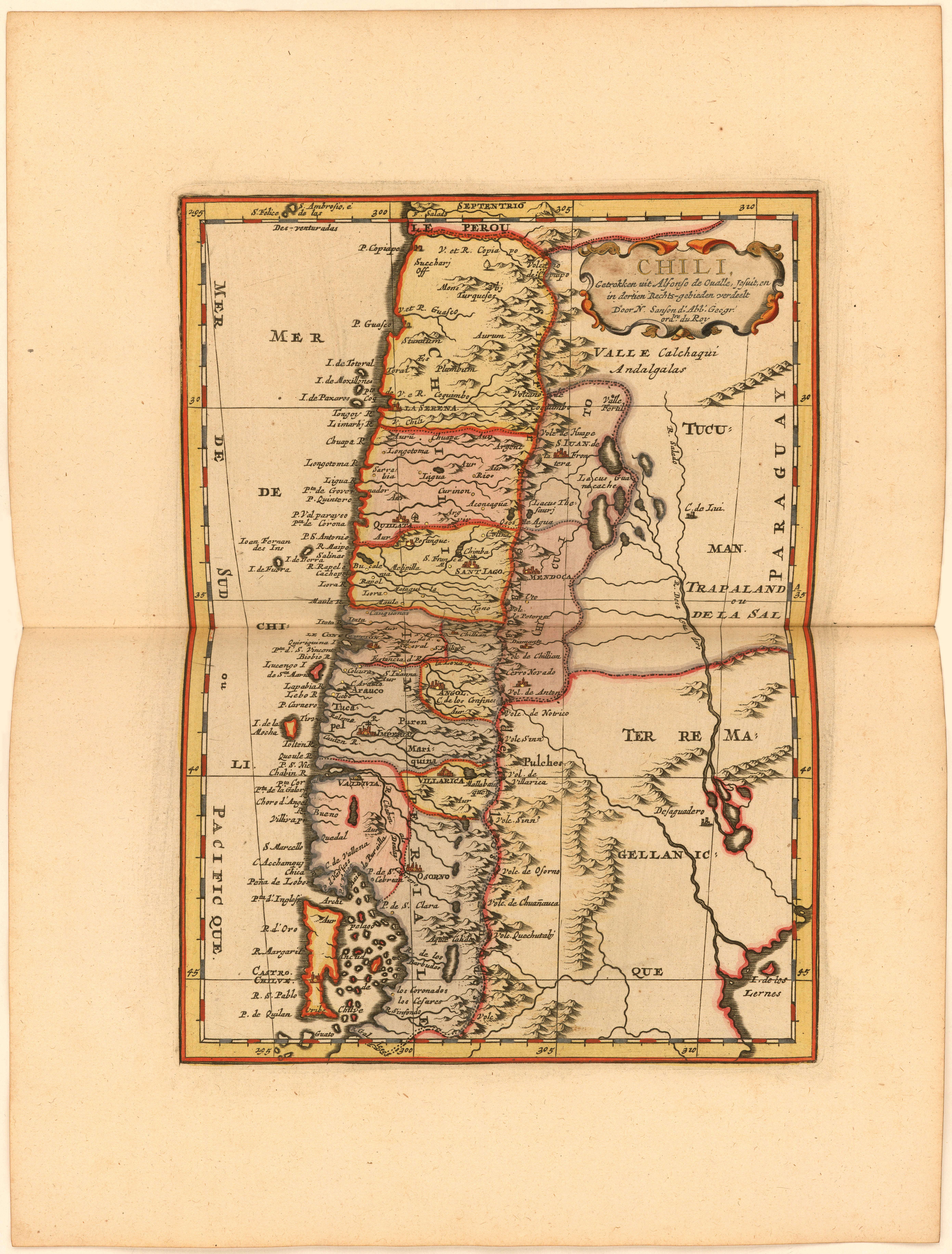
CitationLa Croix, Phérotée de. "Chili, Getrokken uit Alfonso de Ovalle, Jesuit, en in dertien Rechts-gebieden verdeelt Door N. Sanson d.'Abb. Geogr. ordre. du Roy." Map. 1705. https://jcb.lunaimaging.com/luna/servlet/detail/JCBMAPS~1~1~6399~115902585:Chili,-Getrokken-uit-Alfonso-de-Ova?sort=normalized_date%2Cfile_name%2Csource_author%2Csource_title#
La Croix, Phérotée de. "Chili, Getrokken uit Alfonso de Ovalle, Jesuit, en in dertien Rechts-gebieden verdeelt Door N. Sanson d.'Abb. Geogr. ordre. du Roy." Map. 1705. https://jcb.lunaimaging.com/luna/servlet/detail/JCBMAPS~1~1~6399~115902585:Chili,-Getrokken-uit-Alfonso-de-Ova?sort=normalized_date%2Cfile_name%2Csource_author%2Csource_title#
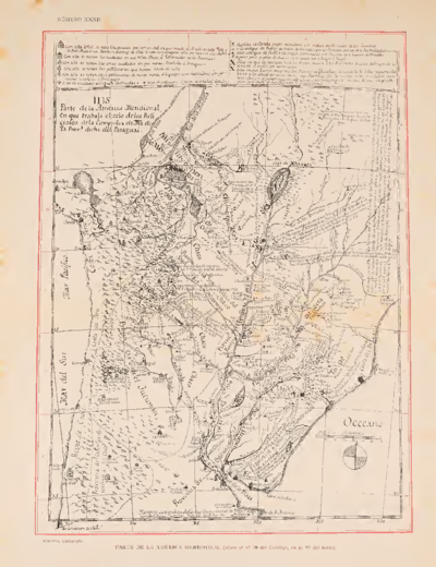
![Dibujo de las tierras de los padres regulares espulsos y litixio con los indios, Pulares, Palogastas y Cachis. 1782-1783 [1790]](https://dnet8ble6lm7w.cloudfront.net/maps/ARG/ARG0092.jpeg)