Dispossesions in the Americas

Dispossesions in the Americas

  • Home
  • Explore
  • About
  • Authors
  • Art
  • Bodies
  • Curricula
  • Cultural Heritage
  • Maps
  • Territories
Back to Explore
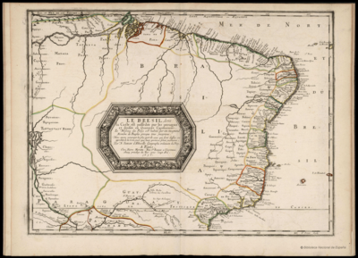
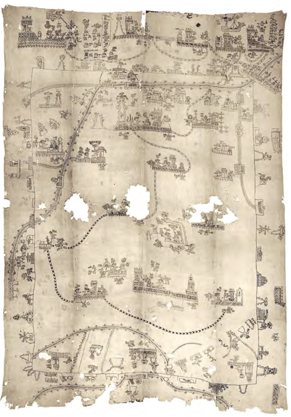
Map 1836

CARTE DU BRÉSIL

  • MALTE-BRUN, CONRAD

Published: 1837

  • Download Image

Peoples

  • OREMANAOS
  • DEMACURY
  • JURI
  • TABOCAS
  • MACUS
  • MIRANHAS
  • AROAQUIS
  • MUNDURUCUS
  • IGARUNAS
  • CANECRANS
  • XERENTES
  • TAPIRAPES
  • GUAPINDAYAS
  • PARENTINTINS
  • URURUCUNIS
  • BACCAHYRIS
  • ARACIS
  • CAYAPOS
  • GUATOS
  • BARBADOS
  • GUAYCURUS

Citation

Malte-Brun, Conrad. Carte du Brésil. Map. Paris: Aime Andre, 1837. Accessed July 27, 2023. https://www.davidrumsey.com/luna/servlet/detail/RUMSEY~8~1~34640~1180252.

  • Download Image

Reading in Spanish

Map 1836

CARTE DU BRÉSIL

  • MALTE-BRUN, CONRAD

Published: 1837

  • Download Image
  • Download Image

Related Content

Plan de l'Isle de Cayenne et des rivières voisines, sur lesquelles sont situées les habit.ons, depuis la rivière d'Oyac, jusqu'à la Rivière de Kourou, près de laquelle les PP Jésuites ont établi leur mission des Indiens Galibis.

Plan de l'Isle de Cayenne et des rivières voisines, sur lesquelles sont situées les habit.ons, depuis la rivière d'Oyac, jusqu'à la Rivière de Kourou, près de laquelle les PP Jésuites ont établi leur mission des Indiens Galibis.

Map 1721
Mapa VI.5 Lenguas indígenas de Venezuela

Mapa VI.5 Lenguas indígenas de Venezuela

Map 2009
Areas culturales de los pueblos indígenas del Ecuador

Areas culturales de los pueblos indígenas del Ecuador

Map 1997
Maya Land Use in the Toledo and Stann Creek Districts, Southern Belize

Maya Land Use in the Toledo and Stann Creek Districts, Southern Belize

Map 1997
Peru

Peru

Map 1625
Sketch of the country from reduction to Buenos Ayres, shewing the movements of B. Genl. Beresford, when he captured that place June 1806. Drawn from memorandums furnished by Capt: Donnelly

Sketch of the country from reduction to Buenos Ayres, shewing the movements of B. Genl. Beresford, when he captured that place June 1806. Drawn from memorandums furnished by Capt: Donnelly

Map 1806
Regiones indígenas;afrodescendientes;y mestizas de Nicaragua

Regiones indígenas;afrodescendientes;y mestizas de Nicaragua

Map
Gente del Occidente de México II [People of Western Mexico II]

Gente del Occidente de México II [People of Western Mexico II]

Artwork

Dispossessions in the Americas

A project by

University of Pennsylvania

Copyright 2024

With support from

Mellon Foundation

Site design & development

Element 84

Art Credits

Malte-Brun, Conrad. Carte du Brésil. Map. Paris: Aime Andre, 1837. Accessed July 27, 2023. https://www.davidrumsey.com/luna/servlet/detail/RUMSEY~8~1~34640~1180252.
Site Pages

  • Home
  • Explore
  • About
  • Authors
  • Art
  • Bodies
  • Curricula
  • Cultural Heritage
  • Maps
  • Territories