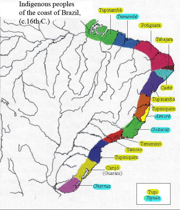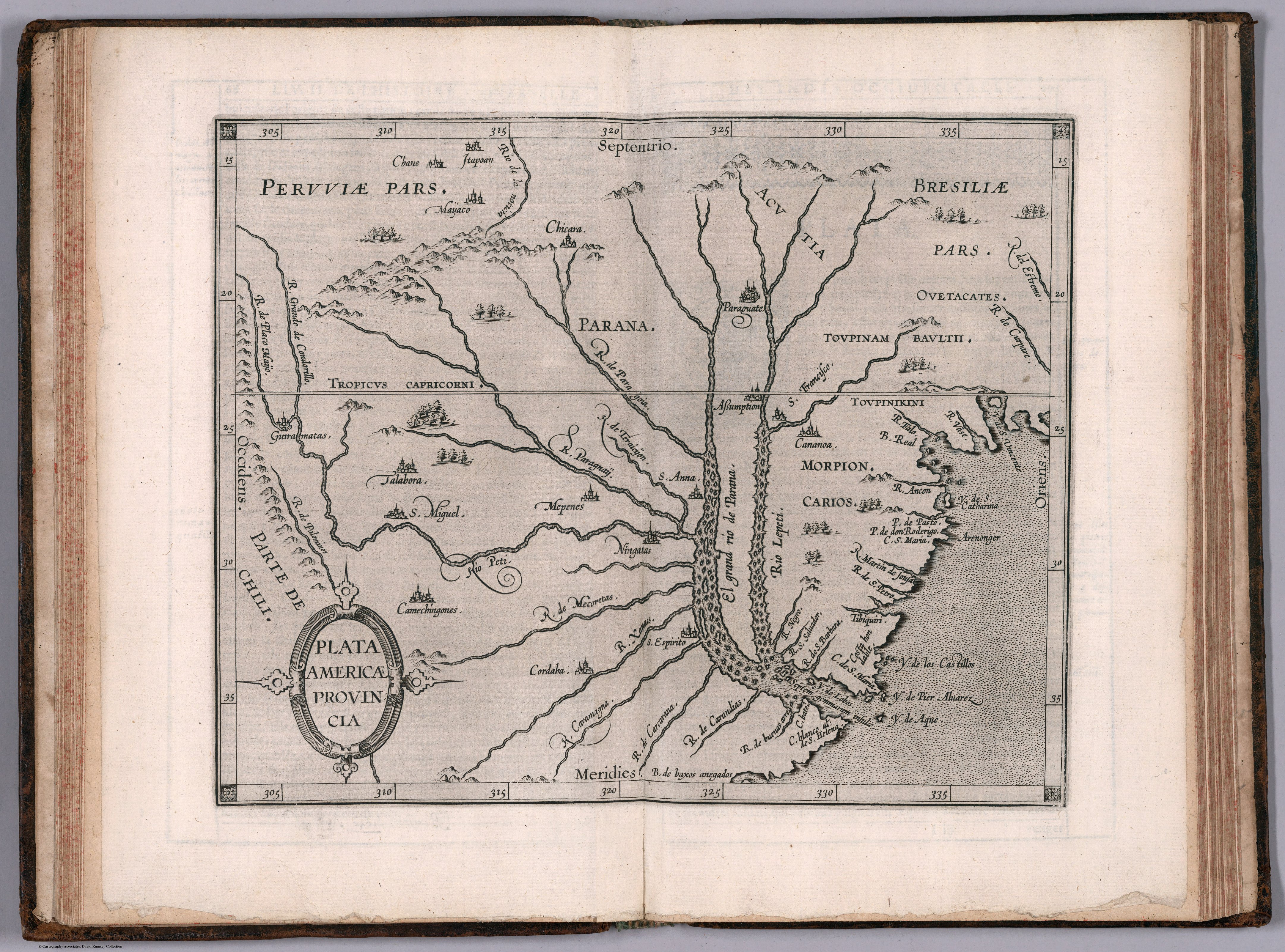
Peoples- OUETACATES
- TOUPINAMBAULTII
- TOUPINIKINI
- ACUTIA
- MORPION
- CARIOS
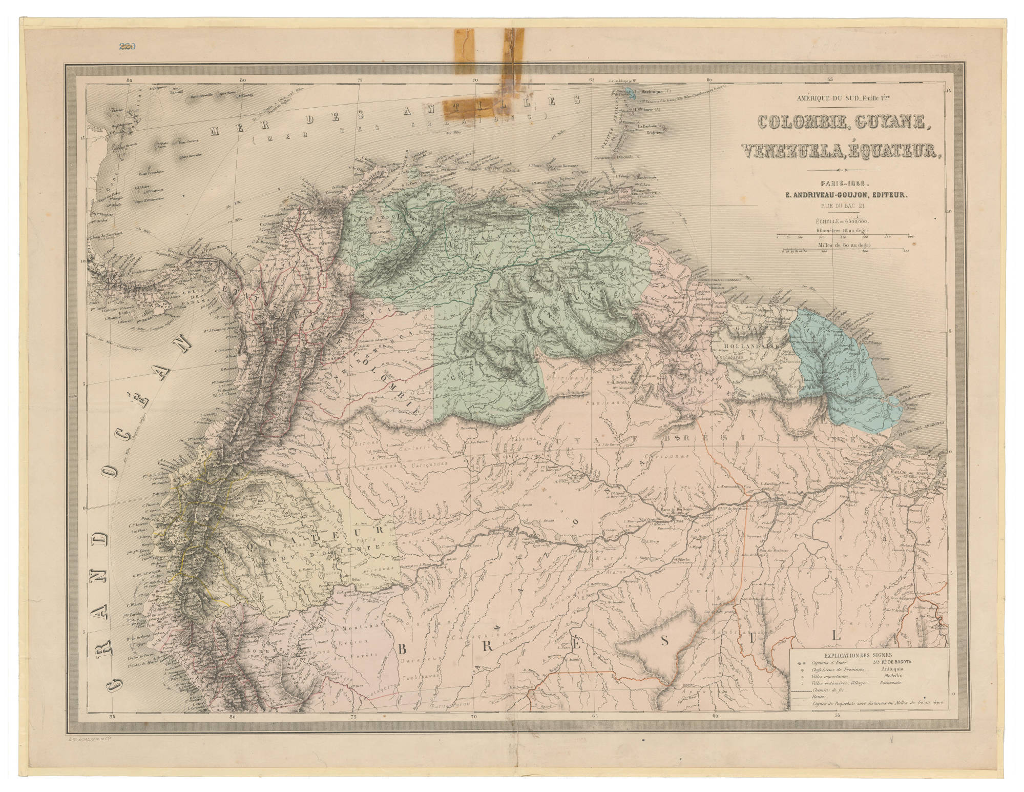
CitationWytfliet, Corneille, and Giovanni Antonio Magini. Plata Americae provincia. Map. Douai: Francois Fabri, 1597. https://www.davidrumsey.com/luna/servlet/detail/RUMSEY~8~1~296120~90067607.
Wytfliet, Corneille, and Giovanni Antonio Magini. Plata Americae provincia. Map. Douai: Francois Fabri, 1597. https://www.davidrumsey.com/luna/servlet/detail/RUMSEY~8~1~296120~90067607.