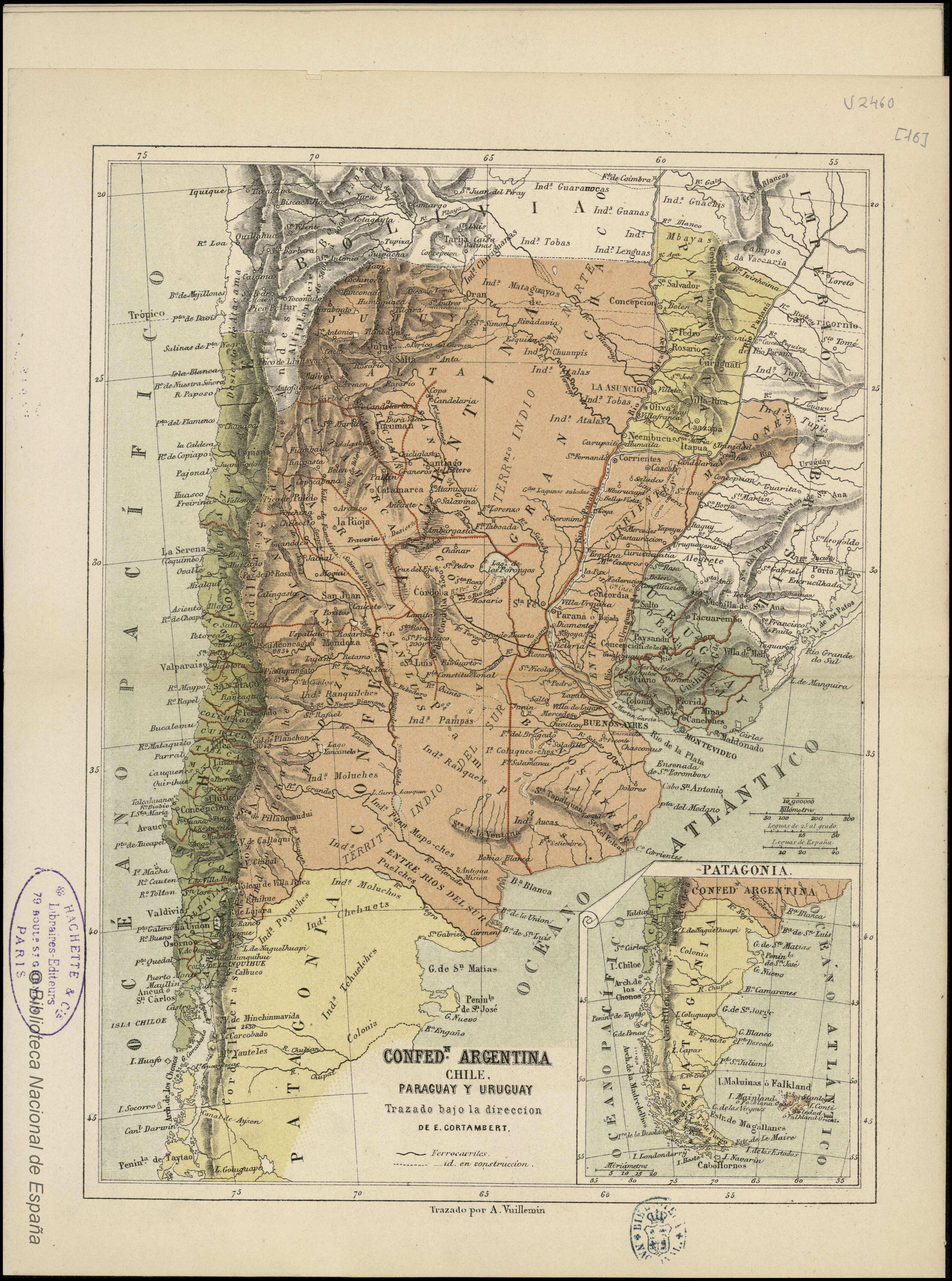
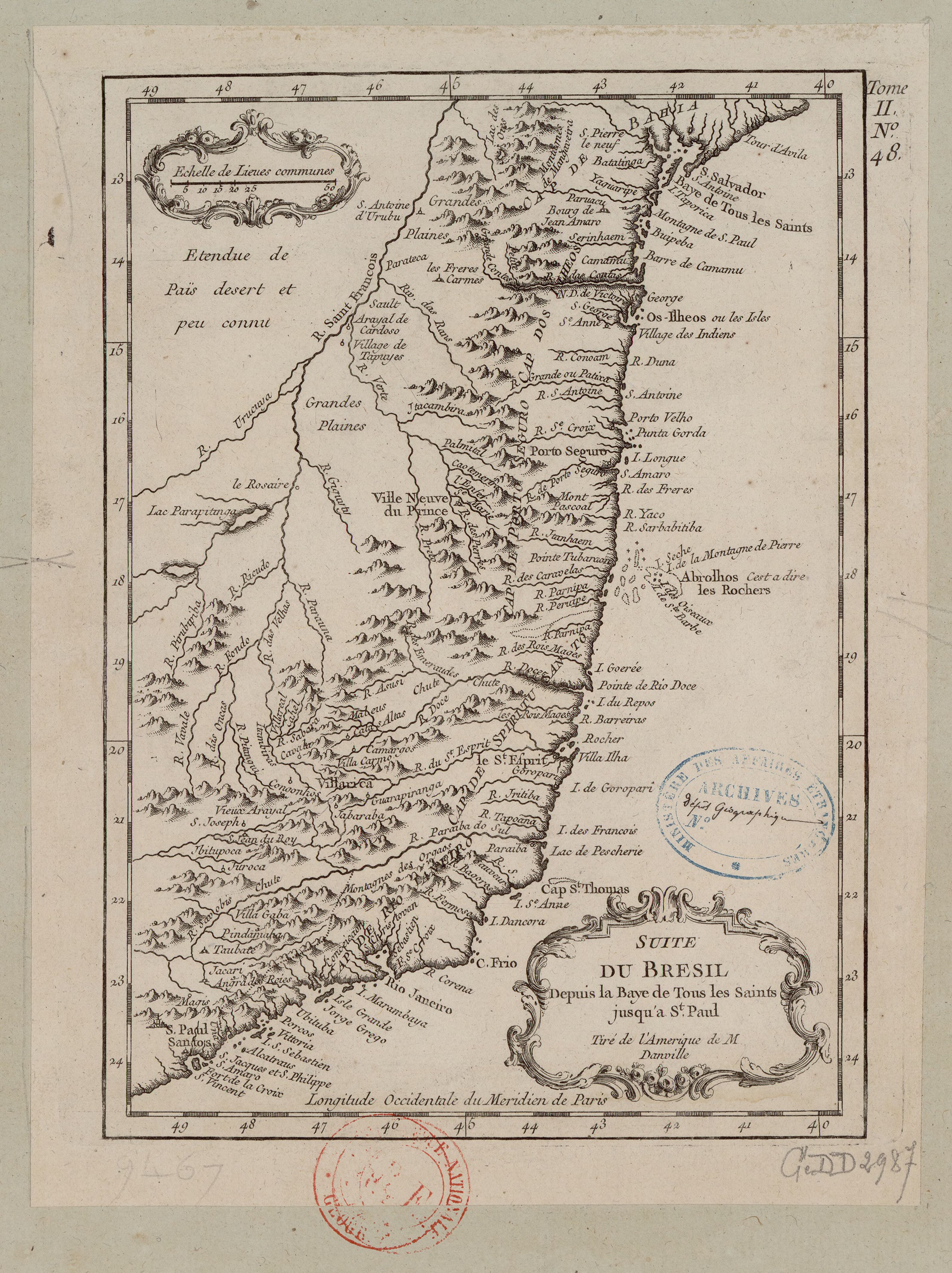
Dispossesions in the Americas

Dispossesions in the Americas

  • Home
  • Explore
  • About
  • Authors
  • Art
  • Bodies
  • Curricula
  • Cultural Heritage
  • Maps
  • Territories
Back to Explore
Map 1600 - 1699

PROVINCIE DELLO SPIRITO SANTO E DI PORTO SICURO

  • HORATIUS, ANDREAS ANTONIUS

Published: 1700

  • Download Image

Peoples

  • AYMURES
  • MOLOPAQUES
  • MARGAIAS
  • TAPUIAS
  • APIAPETANG

Citation

Horatius, Andreas Antonius. "Provincie dello Spirito Santo e di Porto Sicuro." Map. Rome, 1700. Accessed July 26, 2023. https://gallica.bnf.fr/ark:/12148/btv1b85967039/f1.item.

  • Download Image

Reading in Spanish

Map 1600 - 1699

PROVINCIE DELLO SPIRITO SANTO E DI PORTO SICURO

  • HORATIUS, ANDREAS ANTONIUS

Published: 1700

  • Download Image
  • Download Image

Related Content

Pueblos indígenas en Argentina chaqueña

Pueblos indígenas en Argentina chaqueña

Map 2009
MAPA DE OZTOTÍCPAC

MAPA DE OZTOTÍCPAC

Map 1500 - 1599
2. THE JIBARO TRIBES

2. THE JIBARO TRIBES

Map 1976 - 1978
Paî Tavyterâ

Paî Tavyterâ

Map 2001
PUEBLO TEKO

PUEBLO TEKO

Map 2020
Mapa que comprende desde el Golfo de Matina hasta el de Santo Thomás

Mapa que comprende desde el Golfo de Matina hasta el de Santo Thomás

Map 1758
Indian Riots and Rebellions in Guatemala, 1679-1825

Indian Riots and Rebellions in Guatemala, 1679-1825

Map 1679 - 1825
LA PLATA

LA PLATA

Map 1658

Dispossessions in the Americas

A project by

University of Pennsylvania

Copyright 2024

With support from

Mellon Foundation

Site design & development

Element 84

Art Credits

Horatius, Andreas Antonius. “Provincie dello Spirito Santo e di Porto Sicuro.” Map. Rome, 1700. Accessed July 26, 2023. https://gallica.bnf.fr/ark:/12148/btv1b85967039/f1.item.

Site Pages

  • Home
  • Explore
  • About
  • Authors
  • Art
  • Bodies
  • Curricula
  • Cultural Heritage
  • Maps
  • Territories