Peoples
- CAPECHENES
- HYPURINAS
Citation
Chandless, William. "Map of the River Aquiry (an Affluent of the Purûs)." Map. 1865. Accessed July 25, 2023. https://gallica.bnf.fr/ark:/12148/btv1b84411818/f1.item.
PUEBLO MATSÉS
Map 2021
THE KARANQAS AYMARA POLITY - Instant shot of trans-border connections around 1900 (Google Earth adaptation)
Map 1860 - 1930
El mapa de los pueblos indígenas de Bolivia
Map 2007
The Lighthouse MAM Rio
Artwork
Mapa 1. Ubicación geográfica del territorio Waorani
Map 2018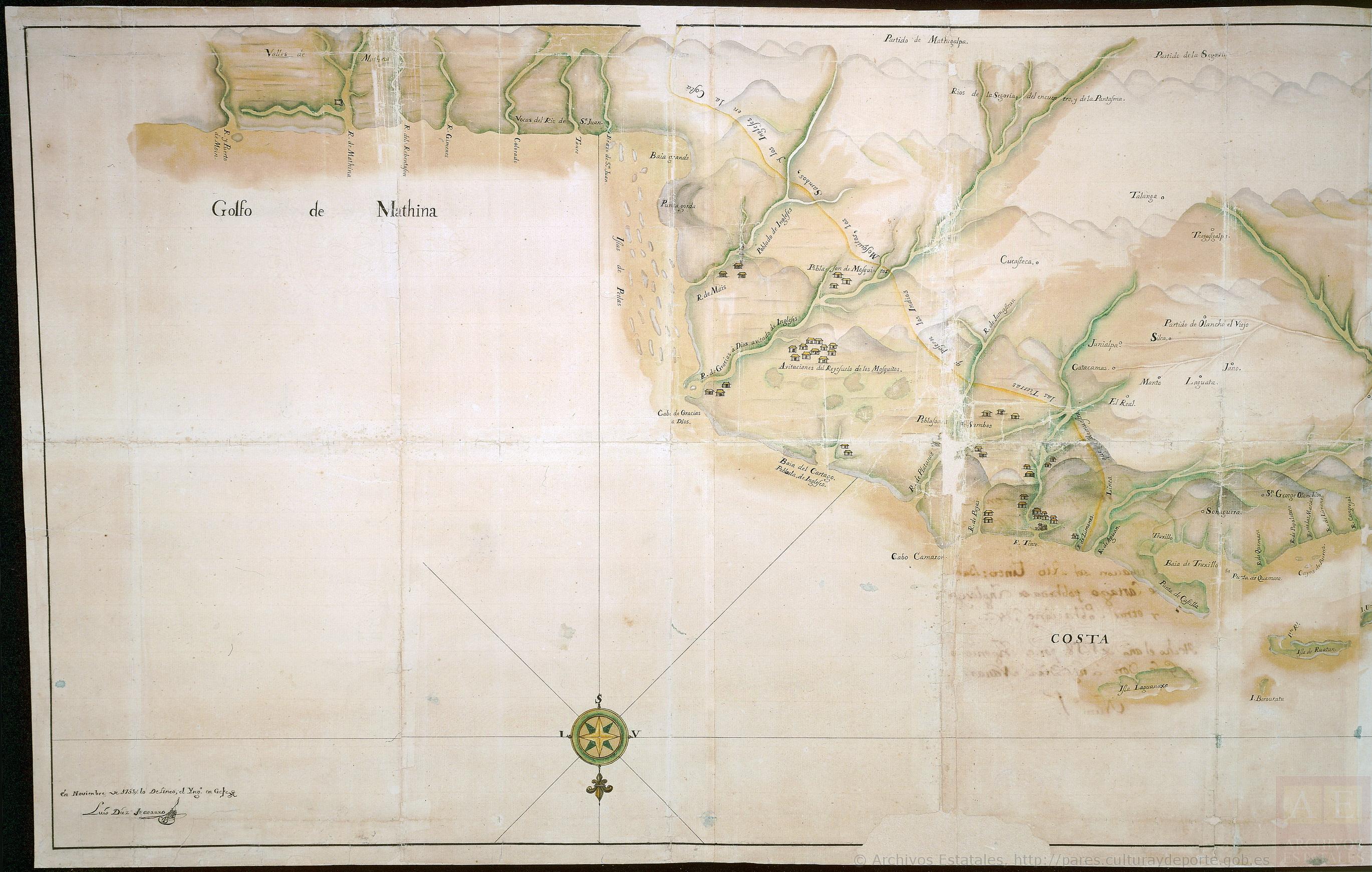
Mapa que comprende desde el Golfo de Matina hasta el de Santo Thomás
Map 1758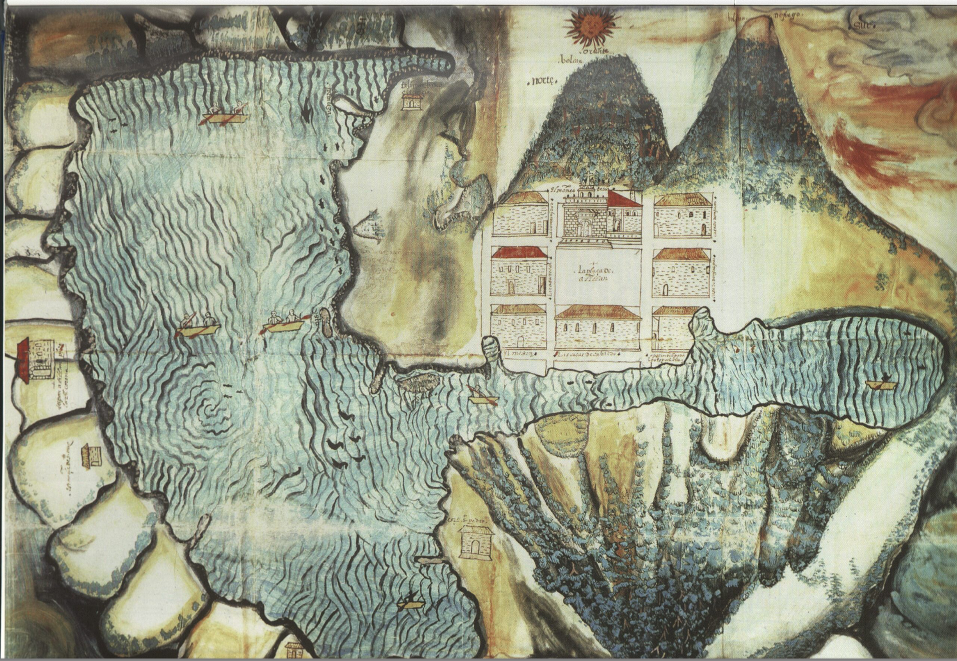
Asiento del pueblo de Santiago Atitlán c 1585.
Map 1585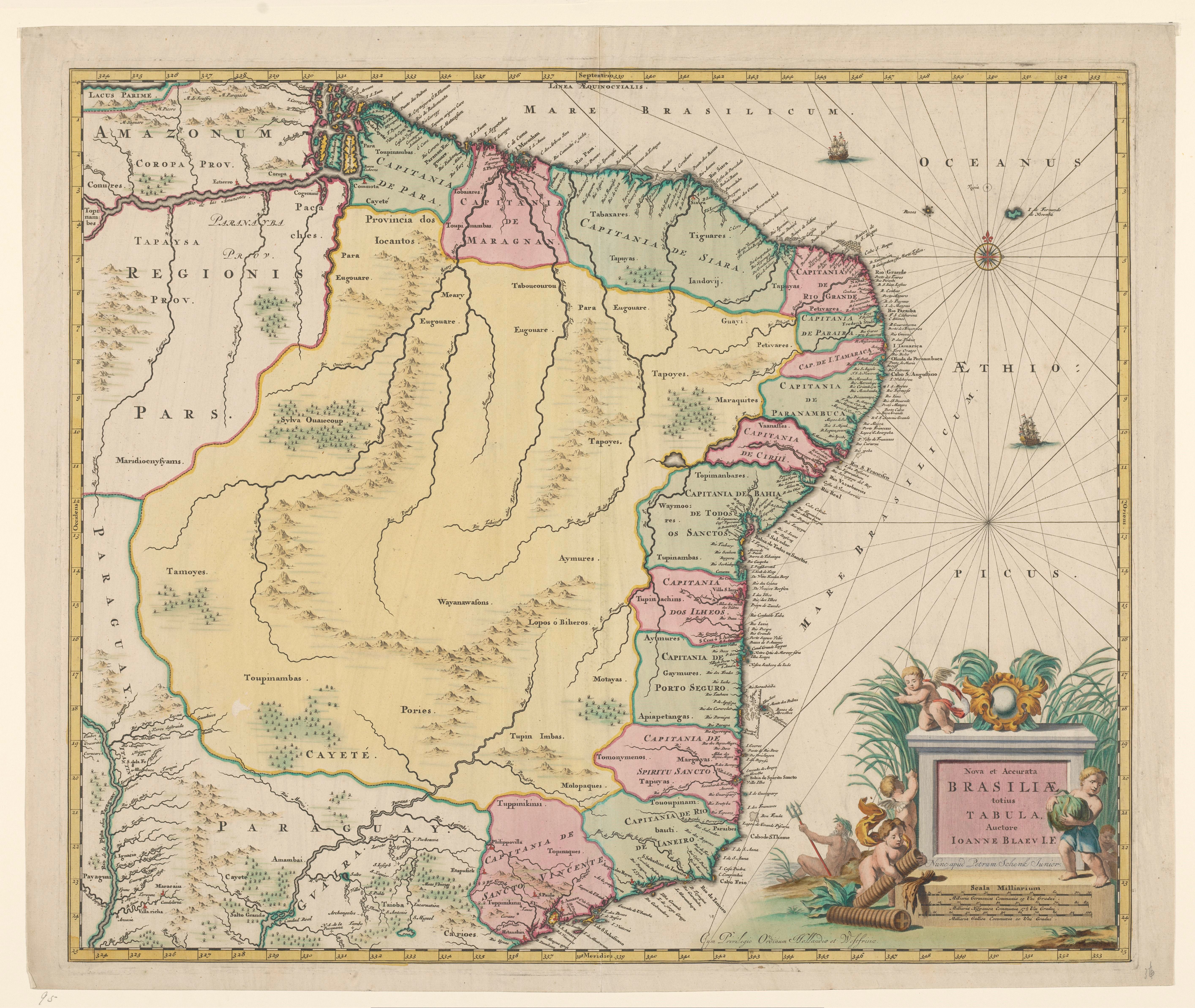
Nova et Accurate BRASILIAE totius TABULA
Map 1700 - 1745