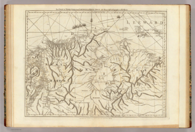
Peoples- INDIAN HABITATIONS
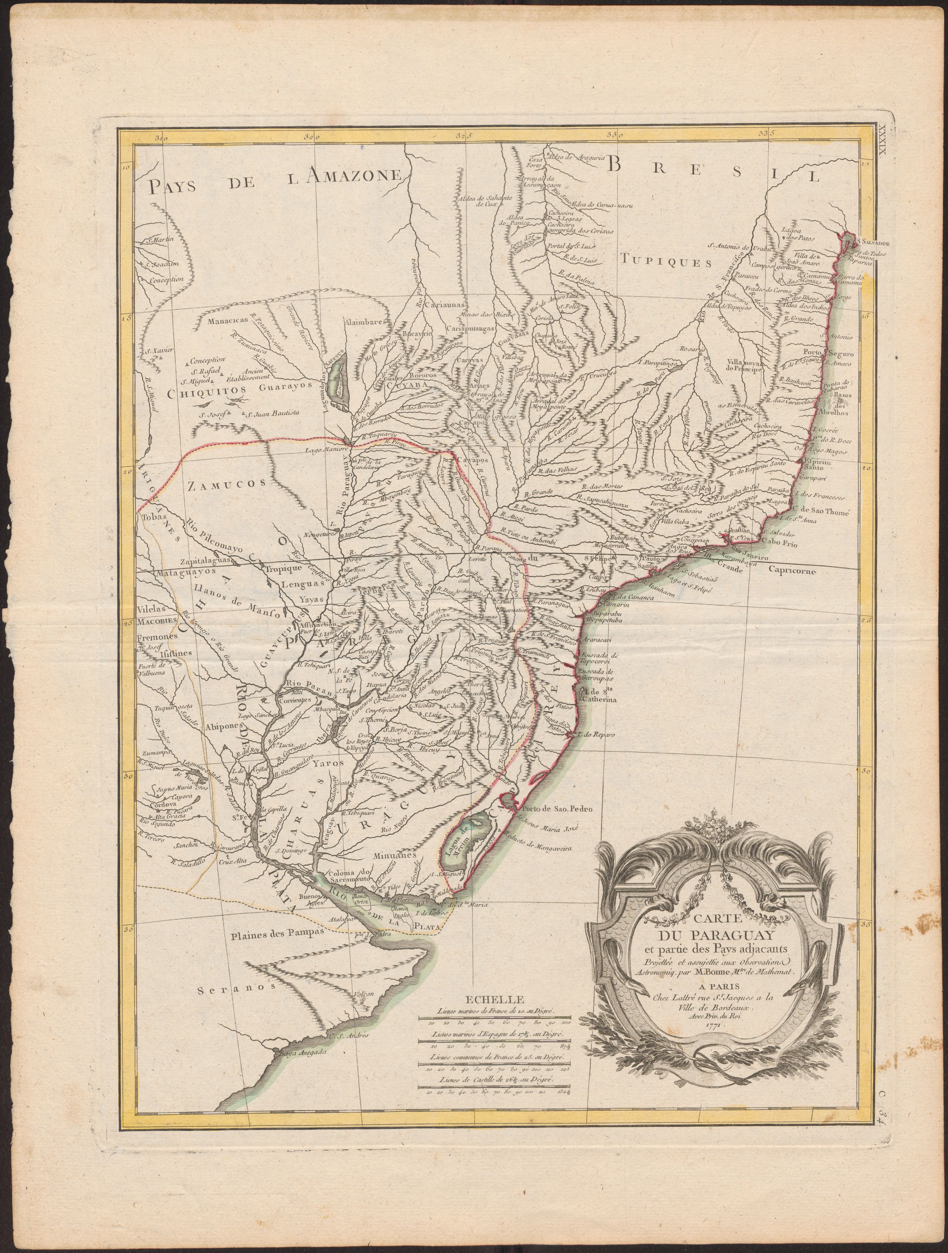
CitationBellin, Jacques Nicolas. Plan of the Isle Grande & the adjacent parts of the Coast of Brazil. Map. London: Alexander Dalrymple, 1786. Accessed July 18, 2023. http://bdh.bne.es/bnesearch/detalle/bdh0000033697.
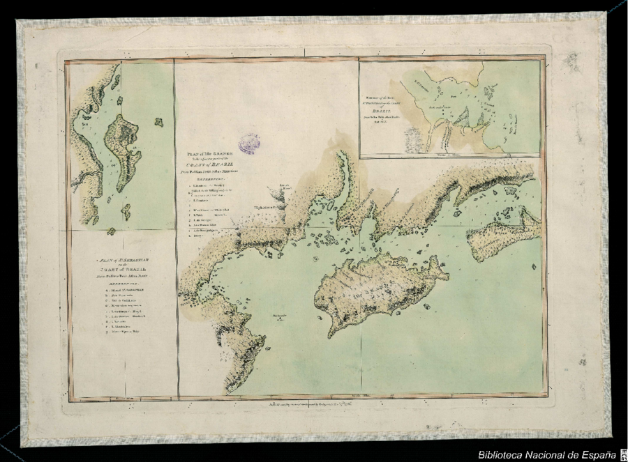
Bellin, Jacques Nicolas. Plan of the Isle Grande & the adjacent parts of the Coast of Brazil. Map. London: Alexander Dalrymple, 1786. Accessed July 18, 2023. http://bdh.bne.es/bnesearch/detalle/bdh0000033697.