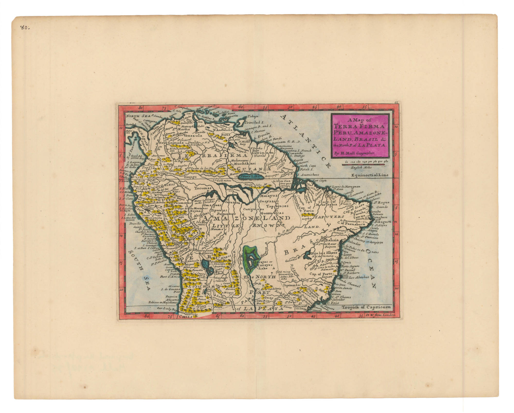
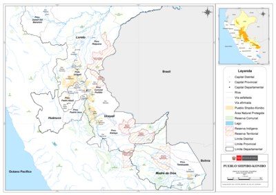
Peoples
- TUPINAMBAS
- MUNDRUCUS
- ROTOCUDOS
- CHIQUITOS
- GUAYCURUS
- GUARANIS
Citation
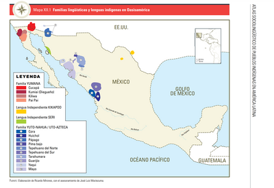
Cortambert, Eugène. "Brasil." Map. In Pequeño atlas de Geografía moderna, 13. Paris: Librería de Hachette y Cía, n.d. Accessed July 18, 2023. http://bdh.bne.es/bnesearch/detalle/bdh0000000261.
, 2022](https://dnet8ble6lm7w.cloudfront.net/art_sm/ABRA011.png)