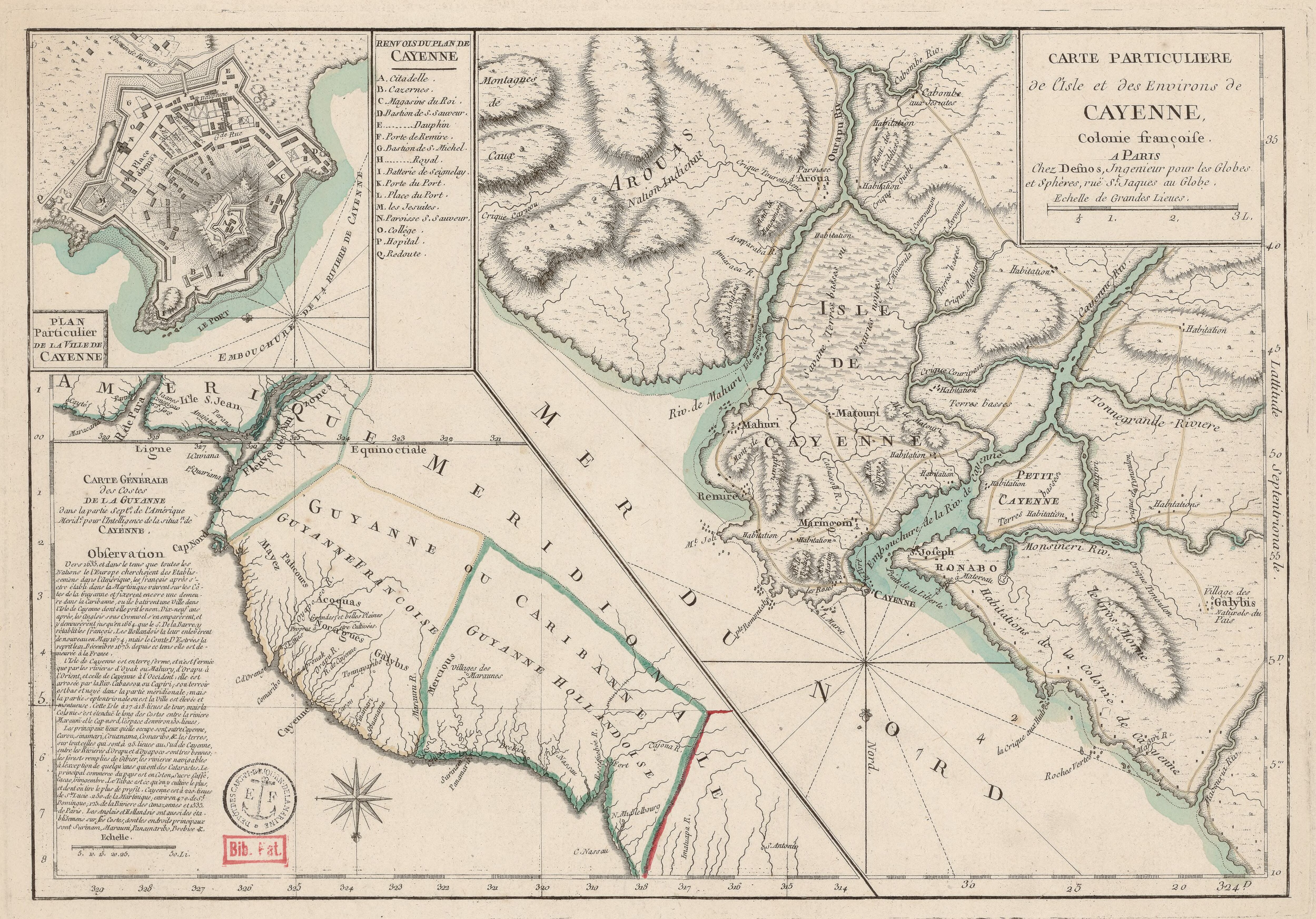
Peoples- APARAYE
- AMICOBANES
- AVANATEOS
- CATAUIXIS
- QUINIAUS
- UARUPA
- GUAYAPIS
- TOPINAMBAS
- CHAVANTES
- BARBADOS
- CABAHYBAS
- CURANARIS
- GUARINUMAS
- GUACUIARIS
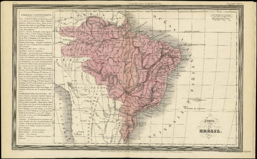
CitationDufour, Auguste-Henri. "Empire du Brésil." Map. In Le globe atlas classique universel de géographie ancienne et moderne, 32. Paris: Jules Renouard, n.d. Accessed July 18, 2023. http://bdh.bne.es/bnesearch/detalle/bdh0000001646.
Dufour, Auguste-Henri. "Empire du Brésil." Map. In Le globe atlas classique universel de géographie ancienne et moderne, 32. Paris: Jules Renouard, n.d. Accessed July 18, 2023. http://bdh.bne.es/bnesearch/detalle/bdh0000001646.